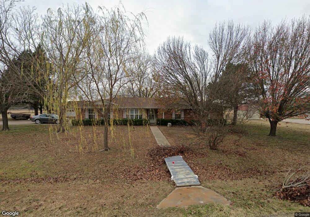
2618 Rolling Hills Dr Sherman, TX 75092
Estimated Value: $278,000 - $331,000
--
Bed
--
Bath
1,450
Sq Ft
$211/Sq Ft
Est. Value
About This Home
This home is located at 2618 Rolling Hills Dr, Sherman, TX 75092 and is currently estimated at $306,268, approximately $211 per square foot. 2618 Rolling Hills Dr is a home located in Grayson County with nearby schools including Henry W. Sory Elementary School, Piner Middle School, and Dillingham Intermediate School.
Ownership History
Date
Name
Owned For
Owner Type
Purchase Details
Closed on
Jan 12, 2022
Sold by
Sellers Family Trust
Bought by
Sellers Bobby J and Sellers Melinda J
Current Estimated Value
Home Financials for this Owner
Home Financials are based on the most recent Mortgage that was taken out on this home.
Original Mortgage
$150,001
Outstanding Balance
$138,245
Interest Rate
3.11%
Mortgage Type
Credit Line Revolving
Estimated Equity
$168,023
Create a Home Valuation Report for This Property
The Home Valuation Report is an in-depth analysis detailing your home's value as well as a comparison with similar homes in the area
Home Values in the Area
Average Home Value in this Area
Purchase History
| Date | Buyer | Sale Price | Title Company |
|---|---|---|---|
| Sellers Bobby J | -- | New Title Company Name | |
| Sellers Bobby J | $199,501 | New Title Company Name |
Source: Public Records
Mortgage History
| Date | Status | Borrower | Loan Amount |
|---|---|---|---|
| Open | Sellers Bobby J | $150,001 | |
| Closed | Sellers Bobby J | $150,001 |
Source: Public Records
Tax History Compared to Growth
Tax History
| Year | Tax Paid | Tax Assessment Tax Assessment Total Assessment is a certain percentage of the fair market value that is determined by local assessors to be the total taxable value of land and additions on the property. | Land | Improvement |
|---|---|---|---|---|
| 2025 | $983 | $230,930 | -- | -- |
| 2024 | $4,605 | $209,936 | $0 | $0 |
| 2023 | $966 | $190,851 | $0 | $0 |
| 2022 | $4,066 | $173,501 | $0 | $0 |
| 2021 | $3,953 | $178,646 | $55,259 | $123,387 |
| 2020 | $3,763 | $156,968 | $46,102 | $110,866 |
| 2019 | $3,514 | $141,847 | $31,642 | $110,205 |
| 2018 | $2,973 | $136,206 | $31,642 | $104,564 |
| 2017 | $2,682 | $107,731 | $8,699 | $99,032 |
| 2016 | $2,719 | $109,244 | $8,699 | $100,545 |
| 2015 | $1,587 | $101,957 | $6,860 | $95,097 |
| 2014 | $1,724 | $101,083 | $6,860 | $94,223 |
Source: Public Records
Map
Nearby Homes
- 2615 Rolling Hills Dr
- 6935 S Farm To Market Road 1417
- 1404 Tejas Dr
- 1401 Cimmaron Trail
- 2134 Peggeys Cove
- 1426 S Raven Dr
- 3508 Ballam St
- 1407 Swan Ridge Dr
- 3302 Hanan St
- 1415 Mallard Dr
- 2401 Southridge Ln
- 4501 Hawk Ln
- 1412 Ascot Ave
- 3312 Sherbrooke Place
- 4507 Falcon Dr
- 3309 Sherbrooke Place
- 1612 Heritage Creek Dr
- 1604 Heritage Creek Dr
- 586 Pleasant Home Rd
- 2900 Woodbrook Dr
- 5209 Rolling Hills Dr
- 2612 Rolling Hills Dr
- 2700 Rolling Hills Dr
- 2619 Rolling Hills Dr
- 2606 Rolling Hills Dr
- 2701 Rolling Hills Dr
- 2615 Valley Ridge Ln
- 2704 Rolling Hills Dr
- 2611 Valley Ridge Ln
- 2701 Valley Ridge Ln
- 2707 Rolling Hills Dr
- 2609 Valley Ridge Ln
- 2600 Rolling Hills Dr
- 2710 Rolling Hills Dr
- 2601 Rolling Hills Dr
- 2713 Rolling Hills Dr
- 2601 Valley Ridge Ln
- 2601 Valleyridge
- 2516 Rolling Hills Dr
- 2517 Rolling Hills Dr