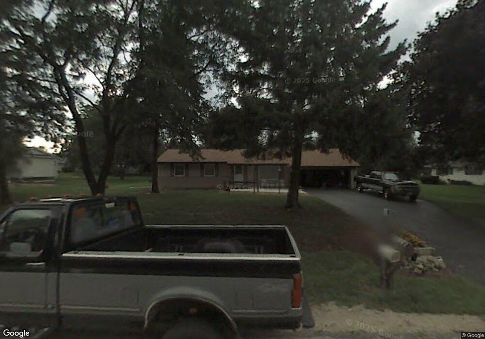
2619 Bobolink Dr Cedarburg, WI 53012
Estimated Value: $324,000 - $398,000
3
Beds
2
Baths
1,256
Sq Ft
$287/Sq Ft
Est. Value
About This Home
This home is located at 2619 Bobolink Dr, Cedarburg, WI 53012 and is currently estimated at $360,164, approximately $286 per square foot. 2619 Bobolink Dr is a home located in Washington County with nearby schools including Cedarburg High School and Davids Star Evangelical Lutheran School.
Ownership History
Date
Name
Owned For
Owner Type
Purchase Details
Closed on
Apr 16, 2010
Sold by
Pipkorn Drew and Pipkorn Drew S
Bought by
Husk Adam R and Husk Kristin M
Current Estimated Value
Home Financials for this Owner
Home Financials are based on the most recent Mortgage that was taken out on this home.
Original Mortgage
$161,273
Outstanding Balance
$108,735
Interest Rate
5.25%
Mortgage Type
FHA
Estimated Equity
$251,429
Create a Home Valuation Report for This Property
The Home Valuation Report is an in-depth analysis detailing your home's value as well as a comparison with similar homes in the area
Home Values in the Area
Average Home Value in this Area
Purchase History
| Date | Buyer | Sale Price | Title Company |
|---|---|---|---|
| Husk Adam R | $178,500 | None Available |
Source: Public Records
Mortgage History
| Date | Status | Borrower | Loan Amount |
|---|---|---|---|
| Open | Husk Adam R | $161,273 |
Source: Public Records
Tax History Compared to Growth
Tax History
| Year | Tax Paid | Tax Assessment Tax Assessment Total Assessment is a certain percentage of the fair market value that is determined by local assessors to be the total taxable value of land and additions on the property. | Land | Improvement |
|---|---|---|---|---|
| 2024 | $2,114 | $219,000 | $48,000 | $171,000 |
| 2023 | $1,915 | $219,000 | $48,000 | $171,000 |
| 2022 | $1,861 | $219,000 | $48,000 | $171,000 |
| 2021 | $1,979 | $175,600 | $42,000 | $133,600 |
| 2020 | $2,524 | $175,600 | $42,000 | $133,600 |
| 2019 | $2,390 | $175,600 | $42,000 | $133,600 |
| 2018 | $2,353 | $175,600 | $42,000 | $133,600 |
| 2017 | $2,395 | $175,600 | $42,000 | $133,600 |
| 2016 | $2,471 | $175,600 | $42,000 | $133,600 |
| 2015 | $2,503 | $175,600 | $42,000 | $133,600 |
| 2014 | $2,503 | $175,600 | $42,000 | $133,600 |
| 2013 | $2,667 | $175,600 | $42,000 | $133,600 |
Source: Public Records
Map
Nearby Homes
- Lt1 Pioneer Rd
- W124N13025 Wasaukee Rd
- 11693 Sherman Rd
- N101W17188 Tanglewood Dr
- N128W13083 Highland Rd
- 1682 Sherman Rd
- W127N12223 Knollwood Dr
- N120W12908 Freistadt Rd
- W129N11980 Harvest Ridge
- W151N11999 Mistletoe Rd
- W149N11976 Red Holly Dr
- W149N11973 Red Holly Dr
- N118W14932 Mistletoe Rd
- N118W14935 Mistletoe Rd
- Lt1 Hillside Ln
- Lt65 Red Holly Dr
- W151N11847 Mistletoe Rd
- 11126 W Freistadt Rd
- N118W14940 Mistletoe Rd
- Lt64 Red Holly Dr
- 2635 Bobolink Dr
- 2609 Bobolink Dr
- 2620 Bobolink Dr
- 2610 Bobolink Dr
- 2597 Bobolink Dr
- 2628 Bobolink Dr
- 2636 Bobolink Dr
- 2600 Bobolink Dr
- 860 Lark Ct
- 870 Lark Ct
- 861 Lark Ct
- 857 Lark Ct
- 772 Cardinal Dr
- 780 Cardinal Dr
- 2587 Bobolink Dr
- 2590 Bobolink Dr
- 764 Cardinal Dr
- 940 Meadow Lark Ln
- 790 Cardinal Dr
- 881 Lark Ct