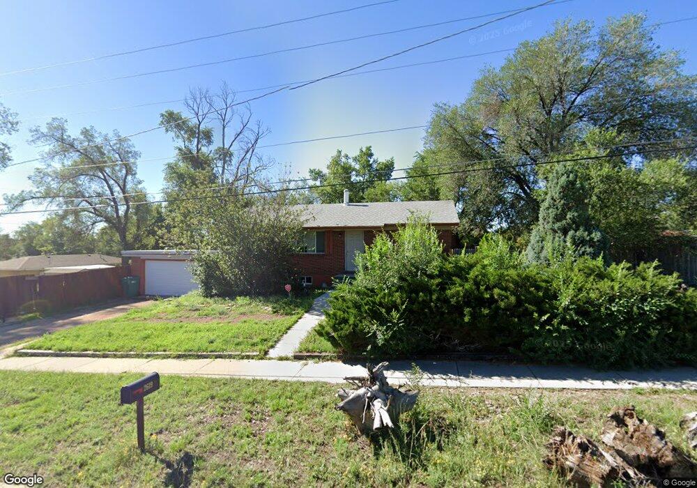
2619 E Pikes Peak Ave Colorado Springs, CO 80909
Hillside/East Lake NeighborhoodEstimated Value: $342,028 - $373,000
5
Beds
2
Baths
1,073
Sq Ft
$337/Sq Ft
Est. Value
About This Home
This home is located at 2619 E Pikes Peak Ave, Colorado Springs, CO 80909 and is currently estimated at $362,007, approximately $337 per square foot. 2619 E Pikes Peak Ave is a home located in El Paso County with nearby schools including Rogers Elementary School, Galileo School Of Math And Science, and William J. Palmer High School.
Ownership History
Date
Name
Owned For
Owner Type
Purchase Details
Closed on
Oct 26, 2011
Sold by
Field Anthony Wayne
Bought by
Han Peak Llc
Current Estimated Value
Purchase Details
Closed on
Apr 9, 2010
Sold by
Field A Wayne
Bought by
Field Anthony Wayne and Aw Field Living Trust
Purchase Details
Closed on
Nov 10, 2009
Sold by
Field A Wayne
Bought by
Field A Wayne and Field Trust B
Purchase Details
Closed on
Mar 8, 2001
Sold by
Odonnell Mark G and Kathleen Odonnell M
Bought by
The Awpa Field Trust
Purchase Details
Closed on
Apr 21, 1993
Bought by
Han-Peak Llc
Create a Home Valuation Report for This Property
The Home Valuation Report is an in-depth analysis detailing your home's value as well as a comparison with similar homes in the area
Home Values in the Area
Average Home Value in this Area
Purchase History
| Date | Buyer | Sale Price | Title Company |
|---|---|---|---|
| Han Peak Llc | -- | None Available | |
| Field Anthony Wayne | -- | None Available | |
| Field A Wayne | -- | None Available | |
| The Awpa Field Trust | $120,000 | Unified Title Co Inc | |
| Han-Peak Llc | -- | -- |
Source: Public Records
Tax History Compared to Growth
Tax History
| Year | Tax Paid | Tax Assessment Tax Assessment Total Assessment is a certain percentage of the fair market value that is determined by local assessors to be the total taxable value of land and additions on the property. | Land | Improvement |
|---|---|---|---|---|
| 2025 | $1,210 | $25,770 | -- | -- |
| 2024 | $1,098 | $26,180 | $3,440 | $22,740 |
| 2022 | $1,033 | $18,460 | $3,130 | $15,330 |
| 2021 | $1,121 | $18,990 | $3,220 | $15,770 |
| 2020 | $963 | $14,190 | $2,500 | $11,690 |
| 2019 | $958 | $14,190 | $2,500 | $11,690 |
| 2018 | $819 | $11,160 | $1,800 | $9,360 |
| 2017 | $776 | $11,160 | $1,800 | $9,360 |
| 2016 | $657 | $11,330 | $1,830 | $9,500 |
| 2015 | $654 | $11,330 | $1,830 | $9,500 |
| 2014 | $622 | $10,340 | $1,830 | $8,510 |
Source: Public Records
Map
Nearby Homes
- 17 N Garland Ave
- 2624 Weir Ave
- 120 N Hayman Ave
- 124 N Hayman Ave
- 2610 E Bijou St
- 2815 Hayman Terrace
- 2906 Garland Terrace
- 2531 Gunnison St
- 226 Bassett Dr
- 2914 Hayman Terrace
- 2514 E Bijou St
- 2920 Hayman Terrace
- 2614 Gunnison St
- 2815 Gomer Ave
- 12 Arrawanna St
- 3020 E Bijou St Unit 5A
- 3020 E Bijou St Unit 1B
- 2902 Airport Rd Unit 204
- 2902 Airport Rd Unit 134
- 119 N Brentwood Dr