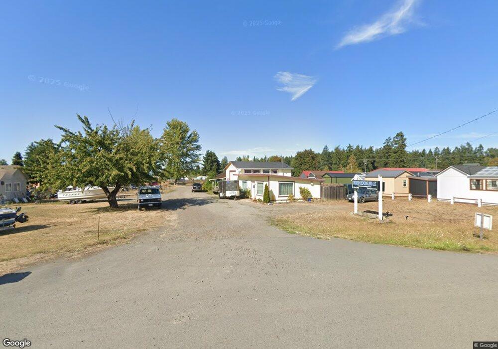
261943 Highway 101 Sequim, WA 98382
Estimated Value: $414,000 - $467,000
2
Beds
1
Bath
720
Sq Ft
$623/Sq Ft
Est. Value
About This Home
This home is located at 261943 Highway 101, Sequim, WA 98382 and is currently estimated at $448,524, approximately $622 per square foot. 261943 Highway 101 is a home located in Clallam County with nearby schools including Greywolf Elementary School, Sequim Middle School, and Sequim Senior High School.
Ownership History
Date
Name
Owned For
Owner Type
Purchase Details
Closed on
Jan 9, 2009
Sold by
Mitchell Robbins Llc
Bought by
Rittenhouse Robert R and Rittenhouse Edithanne
Current Estimated Value
Purchase Details
Closed on
Dec 28, 2005
Sold by
Rittenhouse Robert R and Rittenhouse Edithanne
Bought by
Mitchell Robbins Llc
Home Financials for this Owner
Home Financials are based on the most recent Mortgage that was taken out on this home.
Original Mortgage
$1,487,091
Interest Rate
6.25%
Mortgage Type
Unknown
Create a Home Valuation Report for This Property
The Home Valuation Report is an in-depth analysis detailing your home's value as well as a comparison with similar homes in the area
Purchase History
| Date | Buyer | Sale Price | Title Company |
|---|---|---|---|
| Rittenhouse Robert R | -- | None Available | |
| Mitchell Robbins Llc | $1,652,324 | Olympic Peninsula Title Co |
Source: Public Records
Mortgage History
| Date | Status | Borrower | Loan Amount |
|---|---|---|---|
| Previous Owner | Mitchell Robbins Llc | $1,487,091 |
Source: Public Records
Tax History
| Year | Tax Paid | Tax Assessment Tax Assessment Total Assessment is a certain percentage of the fair market value that is determined by local assessors to be the total taxable value of land and additions on the property. | Land | Improvement |
|---|---|---|---|---|
| 2025 | $2,861 | $374,216 | $203,234 | $170,982 |
| 2023 | $2,861 | $385,245 | $203,234 | $182,011 |
| 2022 | $2,337 | $359,321 | $243,881 | $115,440 |
| 2021 | $2,367 | $256,422 | $203,234 | $53,188 |
| 2020 | $2,586 | $250,571 | $203,234 | $47,337 |
| 2018 | $2,533 | $250,571 | $203,234 | $47,337 |
| 2017 | $2,392 | $245,567 | $203,234 | $42,333 |
| 2016 | $2,392 | $250,201 | $203,234 | $46,967 |
| 2015 | $2,392 | $224,392 | $203,234 | $21,158 |
| 2013 | $2,392 | $224,392 | $203,234 | $21,158 |
| 2012 | $2,392 | $240,539 | $215,937 | $24,602 |
Source: Public Records
Map
Nearby Homes
- 161 Fircrest Dr
- 111 Green Meadows Dr
- 491 Mill Rd
- 491 Mill Rd Unit 33
- 491 Mill Rd Unit 30
- 491 Mill Rd Unit 8
- 2654 Atterberry Rd
- 261131 U S 101 Unit 2
- 65 Sussex Ct Unit 20
- 999 Savanna Soleil Way
- 61 Sussex Ct Unit 19
- 47 Sussex Ct Unit 18
- 68 Sussex Ct Unit 22
- 213 Bogey Ln
- 45 Sussex Ct Unit 16
- 64 Sussex Ct Unit 21
- 141 Lavender Ridge Ln
- 153 Moonshadow Ln
- 132 Moonshadow Ln
- 123 Moonshadow Ln
- 261921 Highway 101
- 261913 Highway 101
- 71 Gilbert Rd
- 0 Gilbert Rd
- 261861 Highway 101
- 400 Gupster Rd Unit 3
- 400 Gupster Rd Unit 13
- 400 Gupster Rd Unit 19
- 400 Gupster Rd Unit 6
- 400 Gupster Rd Unit 14
- 400 Gupster Rd Unit 8
- 400 Gupster Rd Unit Space 8
- 400 Gupster Rd Unit Green Acres mobile H
- 400 Gupster Rd Unit Green Acres Mobile E
- 400 Gupster Rd Unit 11
- 400 Gupster Rd Unit space 22
- 400 Gupster Rd Unit 17
- 400 Gupster Rd Unit 9
- 400 Gupster Rd Unit 10
Your Personal Tour Guide
Ask me questions while you tour the home.