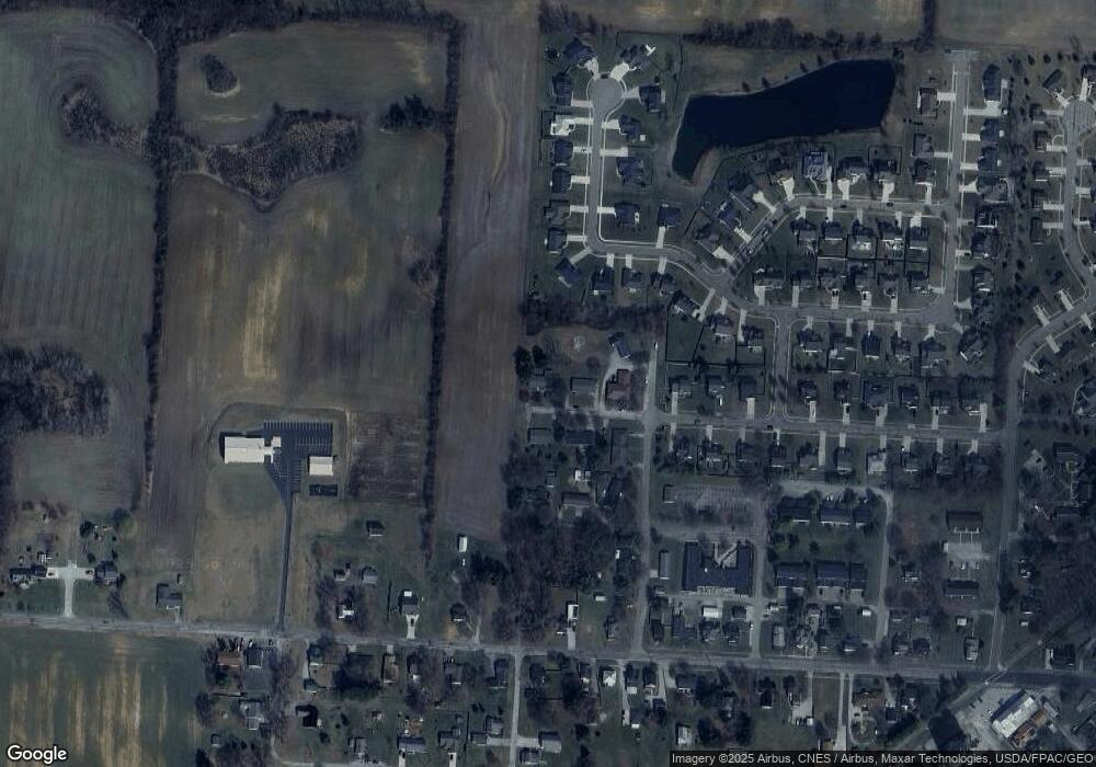
262 Adams St Centerburg, OH 43011
Estimated Value: $312,635 - $350,000
4
Beds
3
Baths
1,696
Sq Ft
$193/Sq Ft
Est. Value
About This Home
This home is located at 262 Adams St, Centerburg, OH 43011 and is currently estimated at $327,909, approximately $193 per square foot. 262 Adams St is a home located in Knox County with nearby schools including Centerburg Elementary School and Centerburg High School.
Ownership History
Date
Name
Owned For
Owner Type
Purchase Details
Closed on
Dec 15, 1997
Sold by
Wells Randy E and Wells Lucinda J
Bought by
Adams William H and Lou Ann
Current Estimated Value
Purchase Details
Closed on
Jul 18, 1994
Sold by
Gildersleeve Thomas E and Gildersleeve E
Bought by
Wells Randy E and Wells Lucinda J
Purchase Details
Closed on
Dec 6, 1988
Sold by
Clipse Joan G
Bought by
Gildersleeve Thomas E and Gildersleeve E
Purchase Details
Closed on
Nov 7, 1988
Sold by
Black Black L L and Black Doris
Bought by
Clipse Joan G
Create a Home Valuation Report for This Property
The Home Valuation Report is an in-depth analysis detailing your home's value as well as a comparison with similar homes in the area
Home Values in the Area
Average Home Value in this Area
Purchase History
| Date | Buyer | Sale Price | Title Company |
|---|---|---|---|
| Adams William H | $96,000 | -- | |
| Wells Randy E | $79,500 | -- | |
| Gildersleeve Thomas E | $56,500 | -- | |
| Clipse Joan G | $56,500 | -- |
Source: Public Records
Tax History Compared to Growth
Tax History
| Year | Tax Paid | Tax Assessment Tax Assessment Total Assessment is a certain percentage of the fair market value that is determined by local assessors to be the total taxable value of land and additions on the property. | Land | Improvement |
|---|---|---|---|---|
| 2024 | $3,129 | $76,510 | $13,320 | $63,190 |
| 2023 | $3,129 | $76,510 | $13,320 | $63,190 |
| 2022 | $2,568 | $52,760 | $9,180 | $43,580 |
| 2021 | $2,568 | $52,760 | $9,180 | $43,580 |
| 2020 | $2,351 | $52,760 | $9,180 | $43,580 |
| 2019 | $2,042 | $42,040 | $9,920 | $32,120 |
| 2018 | $2,018 | $42,040 | $9,920 | $32,120 |
| 2017 | $1,849 | $42,040 | $9,920 | $32,120 |
| 2016 | $1,709 | $38,920 | $9,180 | $29,740 |
| 2015 | $1,635 | $38,920 | $9,180 | $29,740 |
| 2014 | $1,633 | $38,920 | $9,180 | $29,740 |
| 2013 | $1,707 | $39,050 | $8,630 | $30,420 |
Source: Public Records
Map
Nearby Homes
- 24 Messmore Ave
- 80 N Preston St
- 76 E Main St
- 106 Union St
- 00 Ohio 314
- 436 Ohio 314
- 357 S Hartford Ave
- 0 Anderson Ln Unit Lot 13 225029362
- 0 Krause Rd Unit 225038328
- 2191 Barnes Rd
- 1001 Eckard Rd
- 2042 Croton Rd
- 5679 White Rd
- 15228 Croton Rd
- 0 Ball Rd
- 1136 Porter Ln
- 244 Ohio 314
- 4682 Webster Rd
- 334 State Route 314
- 0 Simmons Church Rd Unit 225037857
- 262 Adams Ave
- 258 Adams St
- 265 Adams St
- 253 Adams Ave
- 253 Adams St
- 248 Adams St
- 95 Leonard Ave
- 33 Fieldcrest Dr
- 61 Leonard Ave
- 264 Fairview St
- 31 Fieldcrest Dr
- 264 Fairview Ave
- 254 Fairview Ave
- 252 Fairview Ave
- 29 Fieldcrest Dr
- 53 Leonard Ave
- 35 Fieldcrest Dr
- 2 Garden St
- 1 Garden St
- 27 Fieldcrest Dr
