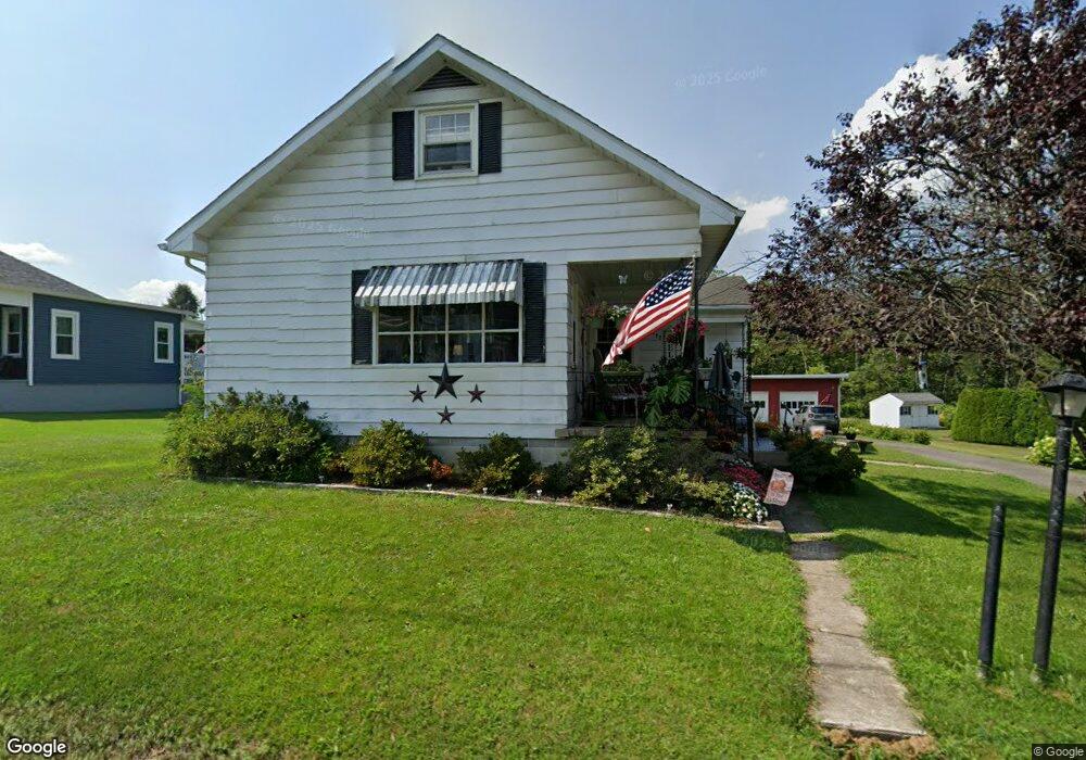
262 Ashtown Dr Lehighton, PA 18235
Estimated Value: $274,835 - $336,000
4
Beds
3
Baths
1,707
Sq Ft
$176/Sq Ft
Est. Value
About This Home
This home is located at 262 Ashtown Dr, Lehighton, PA 18235 and is currently estimated at $300,959, approximately $176 per square foot. 262 Ashtown Dr is a home located in Carbon County with nearby schools including Lehighton Area High School, Sts. Peter & Paul School, and Valley Ridge Academy.
Ownership History
Date
Name
Owned For
Owner Type
Purchase Details
Closed on
Nov 23, 2015
Sold by
Keller David
Bought by
Davenport Tami A
Current Estimated Value
Purchase Details
Closed on
Nov 20, 2015
Sold by
County Of Carbon
Bought by
Keller David
Purchase Details
Closed on
Sep 28, 2015
Sold by
Bollinger Randy L
Bought by
Keller David
Purchase Details
Closed on
Apr 7, 1999
Bought by
Bollinger Randy L
Create a Home Valuation Report for This Property
The Home Valuation Report is an in-depth analysis detailing your home's value as well as a comparison with similar homes in the area
Home Values in the Area
Average Home Value in this Area
Purchase History
| Date | Buyer | Sale Price | Title Company |
|---|---|---|---|
| Davenport Tami A | $33,078 | Attorney | |
| Keller David | $13,078 | None Available | |
| Keller David | -- | None Available | |
| Bollinger Randy L | -- | -- |
Source: Public Records
Tax History Compared to Growth
Tax History
| Year | Tax Paid | Tax Assessment Tax Assessment Total Assessment is a certain percentage of the fair market value that is determined by local assessors to be the total taxable value of land and additions on the property. | Land | Improvement |
|---|---|---|---|---|
| 2025 | $4,243 | $55,450 | $7,800 | $47,650 |
| 2024 | $4,076 | $55,450 | $7,800 | $47,650 |
| 2023 | $4,035 | $55,450 | $7,800 | $47,650 |
| 2022 | $3,979 | $55,450 | $7,800 | $47,650 |
| 2021 | $3,862 | $55,450 | $7,800 | $47,650 |
| 2020 | $3,764 | $55,450 | $7,800 | $47,650 |
| 2019 | $3,570 | $55,450 | $7,800 | $47,650 |
| 2018 | $3,528 | $55,450 | $7,800 | $47,650 |
| 2017 | $3,528 | $55,450 | $7,800 | $47,650 |
| 2016 | -- | $55,450 | $7,800 | $47,650 |
| 2015 | -- | $55,450 | $7,800 | $47,650 |
| 2014 | -- | $55,450 | $7,800 | $47,650 |
Source: Public Records
Map
Nearby Homes
- 410 S 8th St
- 0 Emily Plan at Summit Point Unit PACC2005480
- 0 Copper Beech Plan at Summit Ridge Unit PACC2005478
- 0 Black Cherry Plan at Summit Ridge Unit PACC2005474
- 0 Ridge
- 0 Fredericks Grove Rd Unit 691615
- 639 Iron St
- 408 Bridge St
- 522 Iron St
- 515 Mahoning St
- 260 S 3rd St
- 808 Coal St
- 196 S 3rd St
- 134 Bridge St
- 236 S 2nd St
- 0 Pine Hollow Unit PACC2006556
- 230 S 2nd St
- 470 N 8th St
- 8 Lentz Ave
- 119 S 3rd St