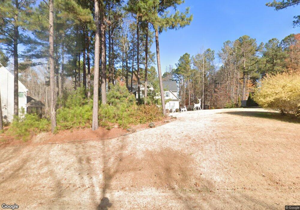
262 Bridgeport Cir Clayton, NC 27527
Estimated Value: $601,416 - $674,000
4
Beds
4
Baths
3,406
Sq Ft
$183/Sq Ft
Est. Value
About This Home
This home is located at 262 Bridgeport Cir, Clayton, NC 27527 and is currently estimated at $624,354, approximately $183 per square foot. 262 Bridgeport Cir is a home located in Johnston County with nearby schools including Riverwood Elementary School, Riverwood Middle School, and Corinth Holders High School.
Ownership History
Date
Name
Owned For
Owner Type
Purchase Details
Closed on
Nov 4, 2015
Sold by
Legacy Custom Homes Inc
Bought by
Astras John J and Astras Raina E
Current Estimated Value
Home Financials for this Owner
Home Financials are based on the most recent Mortgage that was taken out on this home.
Original Mortgage
$275,000
Outstanding Balance
$217,033
Interest Rate
3.89%
Mortgage Type
New Conventional
Estimated Equity
$407,321
Purchase Details
Closed on
Jan 16, 2015
Sold by
M & R Land Llc
Bought by
Legacy Custom Homes Inc
Create a Home Valuation Report for This Property
The Home Valuation Report is an in-depth analysis detailing your home's value as well as a comparison with similar homes in the area
Home Values in the Area
Average Home Value in this Area
Purchase History
| Date | Buyer | Sale Price | Title Company |
|---|---|---|---|
| Astras John J | $344,000 | None Available | |
| Legacy Custom Homes Inc | $55,000 | None Available |
Source: Public Records
Mortgage History
| Date | Status | Borrower | Loan Amount |
|---|---|---|---|
| Open | Astras John J | $275,000 |
Source: Public Records
Tax History Compared to Growth
Tax History
| Year | Tax Paid | Tax Assessment Tax Assessment Total Assessment is a certain percentage of the fair market value that is determined by local assessors to be the total taxable value of land and additions on the property. | Land | Improvement |
|---|---|---|---|---|
| 2025 | $3,636 | $572,600 | $85,000 | $487,600 |
| 2024 | $3,097 | $382,340 | $60,000 | $322,340 |
| 2023 | $3,097 | $382,340 | $60,000 | $322,340 |
| 2022 | $3,135 | $382,340 | $60,000 | $322,340 |
| 2021 | $3,135 | $382,340 | $60,000 | $322,340 |
| 2020 | $3,250 | $382,340 | $60,000 | $322,340 |
| 2019 | $3,250 | $382,340 | $60,000 | $322,340 |
| 2018 | $2,785 | $320,170 | $50,000 | $270,170 |
| 2017 | $2,721 | $320,170 | $50,000 | $270,170 |
| 2016 | $2,721 | $320,170 | $50,000 | $270,170 |
| 2015 | -- | $50,000 | $50,000 | $0 |
Source: Public Records
Map
Nearby Homes
- 629 Woodson Dr
- 605 Woodson Dr
- 524 Woodson Dr
- 169 Woodson Dr
- 224 Swann Trail
- 117 Landry Ct
- 161 Wheeler Ct
- 211 Wheeler Ct
- 257 Swann Trail
- 301 Swann Trail
- 400 Swann Trail
- 320 Chamberlain Dr
- 329 Chamberlain Dr
- 102 Fontana Dr
- 200 Mantle Dr
- 129 Haywood Ln
- 101 Houston Ln
- 237 Boswell Ln
- 245 E Webber Ln
- 509 Sarazen Dr
- 230 Bridgeport Cir
- 288 Bridgeport Cir
- 53 Westfield Ct
- 247 Bridgeport Cir
- 180 Bridgeport Cir
- 52 Westfield Ct
- 686 Bridgeport Cir
- 299 Bridgeport Cir
- 664 Bridgeport Cir
- 203 Bridgeport Cir
- 152 Bridgeport Cir
- 44 Westfield Ct
- 626 Bridgeport Cir
- 343 Bridgeport Cir
- 406 Bridgeport Cir
- 175 Bridgeport Cir
- 20 Westfield Ct
- 1018 Doe Ln
- 436 Bridgeport Cir
- 1022 Doe Ln