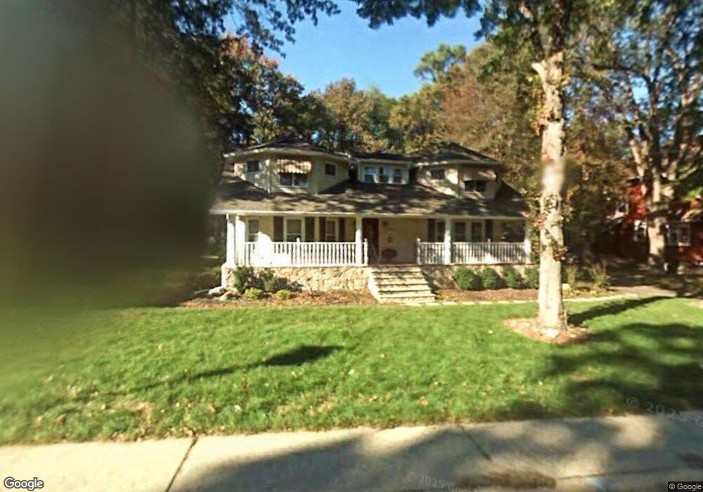
262 Brookside Ave Allendale, NJ 07401
Estimated Value: $1,006,000 - $1,042,000
Studio
--
Bath
2,445
Sq Ft
$419/Sq Ft
Est. Value
About This Home
This home is located at 262 Brookside Ave, Allendale, NJ 07401 and is currently estimated at $1,023,337, approximately $418 per square foot. 262 Brookside Ave is a home located in Bergen County with nearby schools including Hillside Elementary School, Brookside Elementary School, and Northern Highlands Reg High School.
Ownership History
Date
Name
Owned For
Owner Type
Purchase Details
Closed on
Sep 26, 2007
Sold by
262 Brookside Ave Llc
Bought by
Kazancioglu Nebil and Kazancioglu Margaret
Current Estimated Value
Home Financials for this Owner
Home Financials are based on the most recent Mortgage that was taken out on this home.
Original Mortgage
$462,800
Outstanding Balance
$293,146
Interest Rate
6.49%
Mortgage Type
New Conventional
Estimated Equity
$730,191
Purchase Details
Closed on
Mar 1, 1995
Sold by
Pena Angel
Bought by
Ragusa Salvatore
Home Financials for this Owner
Home Financials are based on the most recent Mortgage that was taken out on this home.
Original Mortgage
$285,000
Interest Rate
9.09%
Create a Home Valuation Report for This Property
The Home Valuation Report is an in-depth analysis detailing your home's value as well as a comparison with similar homes in the area
Home Values in the Area
Average Home Value in this Area
Purchase History
| Date | Buyer | Sale Price | Title Company |
|---|---|---|---|
| Kazancioglu Nebil | $712,000 | -- | |
| Ragusa Salvatore | $380,000 | -- |
Source: Public Records
Mortgage History
| Date | Status | Borrower | Loan Amount |
|---|---|---|---|
| Open | Kazancioglu Nebil | $462,800 | |
| Previous Owner | Ragusa Salvatore | $285,000 |
Source: Public Records
Tax History
| Year | Tax Paid | Tax Assessment Tax Assessment Total Assessment is a certain percentage of the fair market value that is determined by local assessors to be the total taxable value of land and additions on the property. | Land | Improvement |
|---|---|---|---|---|
| 2025 | $14,849 | $739,100 | $336,700 | $402,400 |
| 2024 | $15,109 | $704,100 | $324,100 | $380,000 |
| 2023 | $14,673 | $687,100 | $316,000 | $371,100 |
| 2022 | $14,673 | $644,400 | $291,200 | $353,200 |
| 2021 | $14,665 | $624,300 | $280,000 | $344,300 |
| 2020 | $15,781 | $654,000 | $275,500 | $378,500 |
| 2019 | $15,362 | $654,000 | $275,500 | $378,500 |
| 2018 | $15,022 | $654,000 | $275,500 | $378,500 |
| 2017 | $14,964 | $654,000 | $275,500 | $378,500 |
| 2016 | $14,983 | $654,000 | $275,500 | $378,500 |
| 2015 | $14,682 | $654,000 | $275,500 | $378,500 |
| 2014 | $14,322 | $601,000 | $253,000 | $348,000 |
Source: Public Records
Map
Nearby Homes
- 373 W Crescent Ave
- 260 W Allendale Ave
- 8 Crestwood Mews
- 53 Lockwood Dr
- 77 Myrtle Ave
- 8 Masterson Ct
- 1002 Whitney Ln
- 314 Meadowbrook Rd
- 6 Cottage Place
- 37-1 Tamaron Dr
- 12 Sandburg Ct
- 16 Sandburg Ct Unit 16
- 89 Barrett Ln
- 33 Homewood Ave
- 15 Old Oak Dr
- 19 Fox Run Rd Unit 19
- 290 Wyckoff Ave
- 5 Greene St
- 4 Lee Ct
- 31 Smith St
- 268 Brookside Ave
- 250 Brookside Ave
- 270 Brookside Ave
- 271 Brookside Ave
- 240 Brookside Ave
- 275 Brookside Ave
- 280 Brookside Ave
- 234 Brookside Ave
- 40 Donny Brook Dr
- 279 Brookside Ave
- 293 Brookside Ave
- 224 Brookside Ave
- 49 Donny Brook Dr
- 299 Brookside Ave
- 60 Donny Brook Dr
- 214 Brookside Ave
- 34 Carteret Rd
- 36 Carteret Rd
- 210 Brookside Ave
- 32 Carteret Rd
Your Personal Tour Guide
Ask me questions while you tour the home.