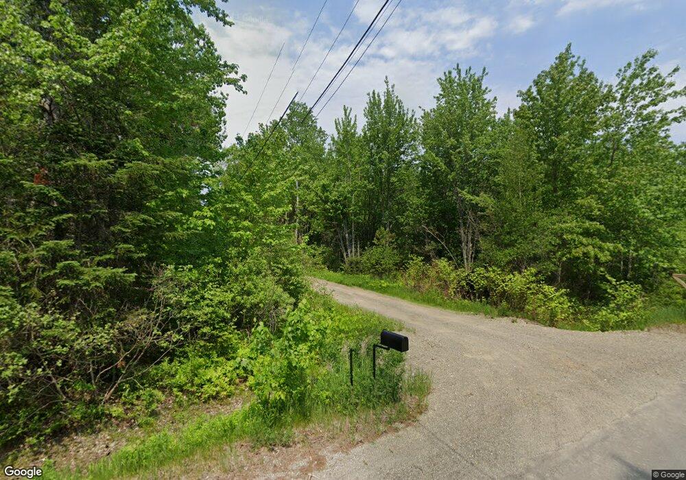
262 Clark Hill Rd Holden, ME 04429
Estimated Value: $309,401 - $448,000
4
Beds
2
Baths
1,458
Sq Ft
$256/Sq Ft
Est. Value
About This Home
This home is located at 262 Clark Hill Rd, Holden, ME 04429 and is currently estimated at $373,850, approximately $256 per square foot. 262 Clark Hill Rd is a home located in Penobscot County.
Ownership History
Date
Name
Owned For
Owner Type
Purchase Details
Closed on
May 21, 2010
Sold by
Maynard Elaine
Bought by
Huntley Jason M and Gleason Marisa G
Current Estimated Value
Home Financials for this Owner
Home Financials are based on the most recent Mortgage that was taken out on this home.
Original Mortgage
$154,420
Outstanding Balance
$105,110
Interest Rate
5.37%
Mortgage Type
FHA
Estimated Equity
$268,740
Create a Home Valuation Report for This Property
The Home Valuation Report is an in-depth analysis detailing your home's value as well as a comparison with similar homes in the area
Home Values in the Area
Average Home Value in this Area
Purchase History
| Date | Buyer | Sale Price | Title Company |
|---|---|---|---|
| Huntley Jason M | -- | -- |
Source: Public Records
Mortgage History
| Date | Status | Borrower | Loan Amount |
|---|---|---|---|
| Open | Huntley Jason M | $154,420 | |
| Previous Owner | Huntley Jason M | $135,500 | |
| Previous Owner | Huntley Jason M | $130,011 | |
| Previous Owner | Huntley Jason M | $115,000 |
Source: Public Records
Tax History Compared to Growth
Tax History
| Year | Tax Paid | Tax Assessment Tax Assessment Total Assessment is a certain percentage of the fair market value that is determined by local assessors to be the total taxable value of land and additions on the property. | Land | Improvement |
|---|---|---|---|---|
| 2024 | $3,051 | $157,650 | $36,560 | $121,090 |
| 2023 | $2,893 | $157,660 | $36,560 | $121,100 |
| 2022 | $2,815 | $157,730 | $36,560 | $121,170 |
| 2021 | $2,764 | $154,860 | $35,060 | $119,800 |
| 2020 | $2,764 | $154,870 | $35,060 | $119,810 |
| 2019 | $2,634 | $154,920 | $35,060 | $119,860 |
| 2018 | $2,600 | $156,170 | $35,060 | $121,110 |
| 2017 | $2,605 | $163,830 | $35,060 | $128,770 |
| 2016 | $2,565 | $163,880 | $35,060 | $128,820 |
| 2015 | $2,528 | $161,550 | $32,250 | $129,300 |
| 2014 | $2,528 | $161,550 | $32,250 | $129,300 |
| 2013 | $2,520 | $161,550 | $32,250 | $129,300 |
Source: Public Records
Map
Nearby Homes
- 271 Clark Hill Rd
- 929 Levenseller Rd
- 0 Tbd Mountain View Dr
- 124 Collette Rd
- 46 Pond Rd
- 0 Tbd Chemo Pond Rd
- 1068 Main Rd
- 15-3 Royal Ridge
- 128 Holbrook Rd
- 32 Charles Dr
- 993 Main Rd
- 56 Royal Ridge Rd
- Lot 006-3 Dole Hill Rd
- 22 Comins Ln
- 37 Lower Dedham Rd
- 5 Abbey Ln
- 619 Main Rd
- 131 Comins Ln
- 017-35 Airline Rd
- 00 Main Rd
- 254 Clark Hill Rd
- 207 Clark Hill Rd
- 244 Clark Hill Rd
- 238 Clark Hill Rd
- 263 Clark Hill Rd
- 253 Clark Hill Rd
- 226 Clark Hill Rd
- 25 Danforth Ln
- 288 Clark Hill Rd
- 34 Danforth Ln
- 296 Clark Hill Rd
- 223 Clark Hill Rd
- 243 Clark Hill Rd
- 291 Clark Hill Rd
- 304 Clark Hill Rd
- 309 Clark Hill Rd
- 203 Clark Hill Rd
- 314 Clark Hill Rd
- 317 Clark Hill Rd
- 158 Clark Hill Rd
