262 Creswell Rd Mount Gilead, NC 27306
Estimated Value: $386,539 - $438,000
3
Beds
2
Baths
1,858
Sq Ft
$219/Sq Ft
Est. Value
About This Home
This home is located at 262 Creswell Rd, Mount Gilead, NC 27306 and is currently estimated at $407,635, approximately $219 per square foot. 262 Creswell Rd is a home with nearby schools including Mount Gilead Elementary School and West Middle School.
Ownership History
Date
Name
Owned For
Owner Type
Purchase Details
Closed on
Mar 20, 2018
Sold by
Haven Dale L and Haven Elizabeth Anne
Bought by
Peterson Daniel G and Peterson Kathy A
Current Estimated Value
Home Financials for this Owner
Home Financials are based on the most recent Mortgage that was taken out on this home.
Original Mortgage
$15,000
Outstanding Balance
$8,650
Interest Rate
4.43%
Mortgage Type
Credit Line Revolving
Estimated Equity
$398,985
Purchase Details
Closed on
Mar 12, 2014
Sold by
Peterson Daniel G and Peterson Kathy A
Bought by
Peterson Daniel G and Peterson Kathy A
Create a Home Valuation Report for This Property
The Home Valuation Report is an in-depth analysis detailing your home's value as well as a comparison with similar homes in the area
Home Values in the Area
Average Home Value in this Area
Purchase History
| Date | Buyer | Sale Price | Title Company |
|---|---|---|---|
| Peterson Daniel G | -- | None Available | |
| Peterson Daniel G | -- | None Available |
Source: Public Records
Mortgage History
| Date | Status | Borrower | Loan Amount |
|---|---|---|---|
| Open | Peterson Daniel G | $15,000 |
Source: Public Records
Tax History Compared to Growth
Tax History
| Year | Tax Paid | Tax Assessment Tax Assessment Total Assessment is a certain percentage of the fair market value that is determined by local assessors to be the total taxable value of land and additions on the property. | Land | Improvement |
|---|---|---|---|---|
| 2025 | $1,508 | $230,154 | $59,500 | $170,654 |
| 2024 | $1,508 | $230,154 | $59,500 | $170,654 |
| 2023 | $1,413 | $215,704 | $45,050 | $170,654 |
| 2022 | $1,413 | $215,704 | $45,050 | $170,654 |
| 2021 | $1,413 | $215,704 | $45,050 | $170,654 |
| 2020 | $1,413 | $215,704 | $45,050 | $170,654 |
| 2018 | $1,239 | $187,672 | $18,930 | $168,742 |
| 2017 | $1,239 | $187,672 | $18,930 | $168,742 |
| 2016 | -- | $187,672 | $18,930 | $168,742 |
| 2015 | -- | $187,672 | $0 | $0 |
Source: Public Records
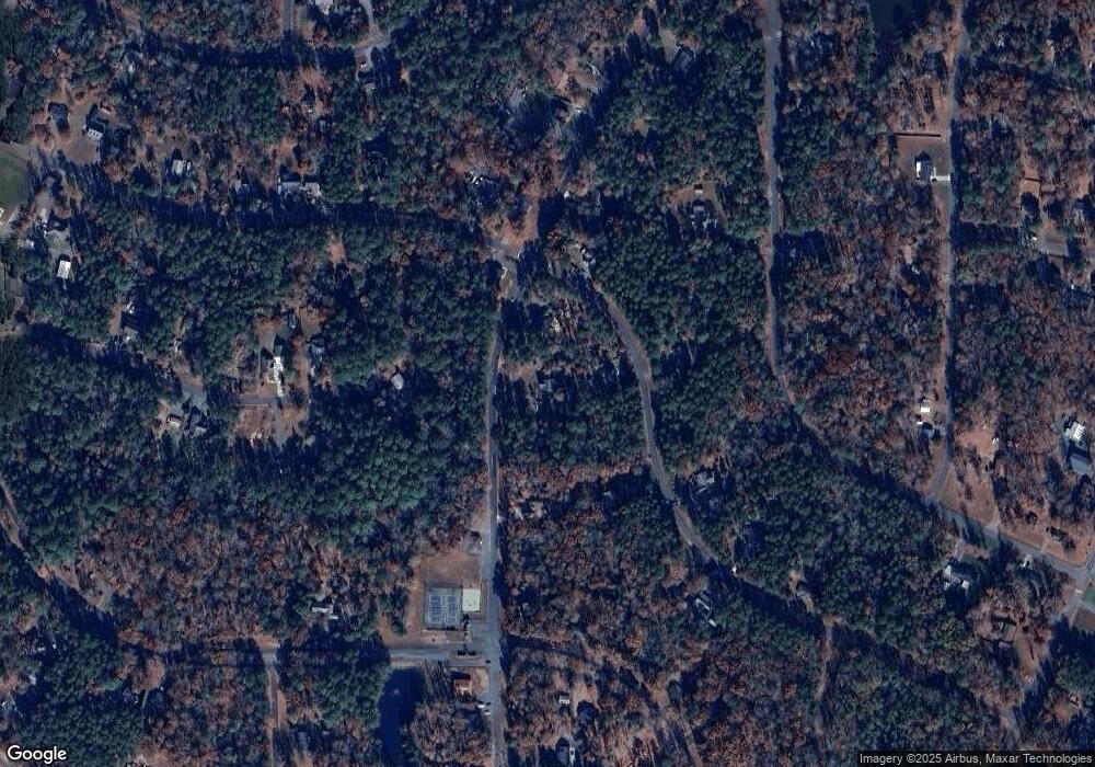
Map
Nearby Homes
- 242 Creswell Rd
- 235 Millwheel Ln
- 589 Newport Dr
- 188 Delwood Ct
- 150 Woodrun Dr
- 248 Pioneer Dr
- 158 Pioneer Dr
- 117 Delwood Ct
- 237 Roxboro Dr
- 105 Red Oak Ct
- 292 Manchester Rd
- 1025 Fairfield Rd
- 528 Manchester Rd
- 136 Rockwell Ct
- 754 Woodrun Dr
- 623 Roxboro Dr
- 210 Newport Dr
- 0 Woodrun Dr Unit CAR4263452
- 128 Arrowhead Ln
- 338 Fairfield Ct
- 248 Creswell Rd
- 286 Creswell Rd
- 286 Creswell Rd
- 286 Creswell Rd Unit 458
- 522 Newport Dr
- 540 Newport Dr
- 538 Newport Dr Unit 501/502
- 281 Creswell Rd Unit 440 & 441
- 292 Creswell Rd
- 242 Creswell Rd Unit 453(&452)
- 348 Creswell Rd
- 556 Newport Dr
- 273 Creswell Rd
- 261 Creswell Rd
- 287 Creswell Rd
- 247 Creswell Rd
- 287 Creswell Rd
- 485 Newport Dr
- 564 Newport Dr
- 241 Creswell Rd