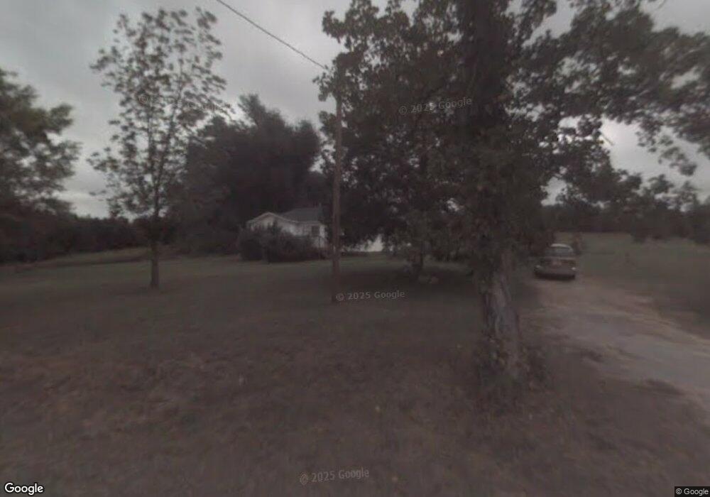
262 Daniel Boone Trail Pickens, SC 29671
Estimated Value: $164,000
2
Beds
1
Bath
1,044
Sq Ft
$157/Sq Ft
Est. Value
About This Home
This home is located at 262 Daniel Boone Trail, Pickens, SC 29671 and is currently priced at $164,000, approximately $157 per square foot. 262 Daniel Boone Trail is a home located in Pickens County with nearby schools including Pickens Elementary School, Pickens Middle School, and Pickens High School.
Ownership History
Date
Name
Owned For
Owner Type
Purchase Details
Closed on
Jul 21, 2022
Sold by
Burrell Joann C
Bought by
Wolf Creek Farm Hc Llc
Current Estimated Value
Home Financials for this Owner
Home Financials are based on the most recent Mortgage that was taken out on this home.
Original Mortgage
$500,000
Outstanding Balance
$476,265
Interest Rate
5.23%
Mortgage Type
Seller Take Back
Purchase Details
Closed on
Apr 15, 2011
Sold by
Burrell Myra D
Bought by
Burrell Joann C
Purchase Details
Closed on
Feb 15, 2007
Sold by
Burrell Myra D
Bought by
Burrell Joann C
Create a Home Valuation Report for This Property
The Home Valuation Report is an in-depth analysis detailing your home's value as well as a comparison with similar homes in the area
Home Values in the Area
Average Home Value in this Area
Purchase History
| Date | Buyer | Sale Price | Title Company |
|---|---|---|---|
| Wolf Creek Farm Hc Llc | $650,000 | None Listed On Document | |
| Burrell Joann C | -- | -- | |
| Burrell Joann C | -- | None Available |
Source: Public Records
Mortgage History
| Date | Status | Borrower | Loan Amount |
|---|---|---|---|
| Open | Wolf Creek Farm Hc Llc | $500,000 |
Source: Public Records
Tax History Compared to Growth
Tax History
| Year | Tax Paid | Tax Assessment Tax Assessment Total Assessment is a certain percentage of the fair market value that is determined by local assessors to be the total taxable value of land and additions on the property. | Land | Improvement |
|---|---|---|---|---|
| 2022 | $1,002 | $4,157 | $577 | $3,580 |
| 2021 | $1,002 | $4,157 | $577 | $3,580 |
| 2020 | $1,049 | $4,157 | $577 | $3,580 |
| 2019 | $1,055 | $4,157 | $577 | $3,580 |
| 2018 | $961 | $3,717 | $657 | $3,060 |
| 2017 | $948 | $3,717 | $657 | $3,060 |
| 2015 | $915 | $3,720 | $0 | $0 |
| 2008 | -- | $23,560 | $20,150 | $3,410 |
Source: Public Records
Map
Nearby Homes
- 191 Juniper Ln
- 149 Roanoke Rd
- 190 Heritage Dr
- 1808 Belle Shoals Rd
- 00 Mauldin Lake Rd
- 619 Amberwood Rd
- 0 State Road S-39-122
- 109 Sycamore Ct
- 637 Odell Rd
- 00 Odell Rd
- 214 Allgood Dr
- 220 Allgood Dr
- 0 Walhalla Hwy
- 169 Sunset Rd
- 123 Dalton Dr
- 524 Secona Rd
- 213 Legacy Ln
- 100 Legacy Ln
- 4612 Moorefield Memorial Hwy
- 204 Old Glory Ct
- 234 Greystone Place
- 169 Golden Eagle Dr
- 165 Golden Eagle Dr
- 173 Golden Eagle Dr
- 161 Golden Eagle Dr
- 157 Golden Eagle Dr
- 170 Golden Eagle Dr
- 153 Golden Eagle Dr
- 166 Golden Eagle Dr
- 162 Golden Eagle Dr
- 158 Golden Eagle Dr
- 149 Golden Eagle Dr
- 154 Golden Eagle Dr
- 150 Golden Eagle Dr
- 145 Golden Eagle Dr
- 162 Greystone Place
- 146 Golden Eagle Dr
- 167 Greystone Place
- 142 Golden Eagle Dr
- 139 Golden Eagle Dr