Estimated Value: $181,000 - $235,808
2
Beds
1
Bath
1,200
Sq Ft
$180/Sq Ft
Est. Value
About This Home
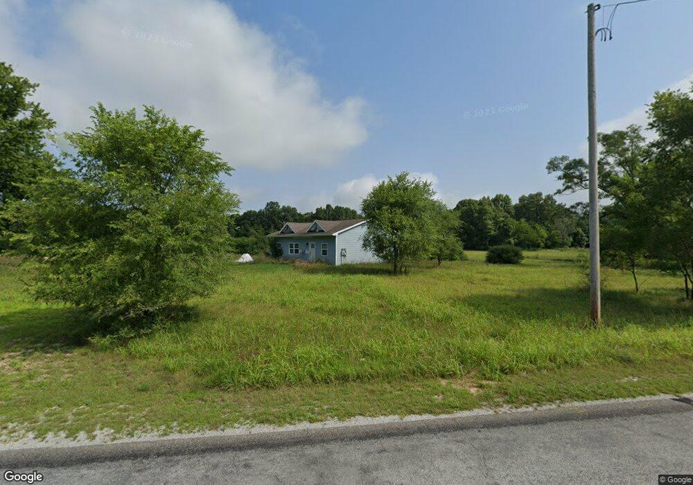
This home is located at 262 E Toto Rd, Knox, IN 46534 and is currently estimated at $215,952, approximately $179 per square foot. 262 E Toto Rd is a home located in Starke County with nearby schools including Knox Community Elementary School, Knox Community Middle School, and Knox Community High School.
Ownership History
Date
Name
Owned For
Owner Type
Purchase Details
Closed on
Oct 21, 2025
Sold by
Crossroad Investments Llc
Bought by
Keen Eric A and Keen Monica A
Current Estimated Value
Purchase Details
Closed on
Dec 31, 2014
Sold by
Hart Steve K
Bought by
Crossroad Investments Llc
Purchase Details
Closed on
Dec 9, 2014
Sold by
Hart Steve and Chaffins Katherine
Bought by
Cornel Laba and Laba Angelica
Purchase Details
Closed on
Mar 7, 2008
Sold by
White Donald and White Helen
Bought by
Laba Cornell and Laba Angelica
Home Financials for this Owner
Home Financials are based on the most recent Mortgage that was taken out on this home.
Original Mortgage
$43,000
Interest Rate
5.79%
Mortgage Type
Purchase Money Mortgage
Purchase Details
Closed on
Nov 29, 2007
Sold by
Weinberg Stores Inc
Bought by
White Donald and White Helen
Create a Home Valuation Report for This Property
The Home Valuation Report is an in-depth analysis detailing your home's value as well as a comparison with similar homes in the area
Purchase History
| Date | Buyer | Sale Price | Title Company |
|---|---|---|---|
| Keen Eric A | -- | First American Title | |
| Crossroad Investments Llc | -- | None Available | |
| Cornel Laba | -- | None Available | |
| Laba Cornell | -- | None Available | |
| White Donald | -- | None Available |
Source: Public Records
Mortgage History
| Date | Status | Borrower | Loan Amount |
|---|---|---|---|
| Previous Owner | Laba Cornell | $43,000 |
Source: Public Records
Tax History
| Year | Tax Paid | Tax Assessment Tax Assessment Total Assessment is a certain percentage of the fair market value that is determined by local assessors to be the total taxable value of land and additions on the property. | Land | Improvement |
|---|---|---|---|---|
| 2025 | $2,032 | $157,500 | $67,700 | $89,800 |
| 2024 | $2,032 | $146,800 | $64,900 | $81,900 |
| 2023 | $1,786 | $128,100 | $53,900 | $74,200 |
| 2022 | $1,786 | $113,200 | $48,100 | $65,100 |
| 2021 | $1,729 | $98,400 | $43,500 | $54,900 |
| 2020 | $679 | $35,200 | $29,700 | $5,500 |
| 2019 | $664 | $33,500 | $28,200 | $5,300 |
| 2018 | $602 | $31,000 | $25,800 | $5,200 |
| 2017 | $572 | $30,400 | $25,100 | $5,300 |
| 2016 | $577 | $60,000 | $40,400 | $19,600 |
| 2014 | $1,082 | $59,800 | $40,500 | $19,300 |
| 2013 | $1,001 | $57,200 | $37,800 | $19,400 |
Source: Public Records
Map
Nearby Homes
- 840 W 450 S
- 2760 S Lovelia Dr
- 0 E 500 S
- 2075 E 200 S
- 3360 S State Road 39
- 1892 W 200 S
- 2455 W Impala St
- 4540 S 300 E
- 2645 E 525 S
- 2240 S 350 E
- 1301 W Culver Rd
- 1309 S Roosevelt Rd
- 3395 U S 35
- 14.89 Acres W Culver Rd
- 2260 S Us Highway 35
- 903 S Portland St
- 4189 E County Road 200 S
- 305 W New York St
- 701 S Shield St
- 703 S Main St
- 315 E Toto Rd
- 320 E Toto Rd
- 245 E Toto Rd
- 340 E Toto Rd
- 360 E Toto Rd
- 360 E Toto Rd
- 116 E Toto Rd
- 115 E Toto Rd
- 102 E Toto Rd
- 60 E Toto Rd
- 2960 S Range Rd
- 2920 S Range Rd
- 3020 S Range Rd
- 2880 S Range Rd
- 2860 S Range Rd
- 2840 S Range Rd
- 0 E Toto Rd
- 0 E Toto Rd Unit NRA545431
- 0 E Toto Rd Unit GNR523935
- 0 E Toto Rd Unit GNR501595
Your Personal Tour Guide
Ask me questions while you tour the home.