262 Garfield Rd Concord, MA 01742
Estimated Value: $1,442,000 - $3,254,000
4
Beds
4
Baths
5,926
Sq Ft
$441/Sq Ft
Est. Value
About This Home
This home is located at 262 Garfield Rd, Concord, MA 01742 and is currently estimated at $2,611,677, approximately $440 per square foot. 262 Garfield Rd is a home located in Middlesex County with nearby schools including Willard School, Concord Middle School, and Concord Carlisle High School.
Ownership History
Date
Name
Owned For
Owner Type
Purchase Details
Closed on
Dec 20, 1999
Sold by
Land Concord Open
Bought by
Hawes Donald M and Hawes Marla
Current Estimated Value
Home Financials for this Owner
Home Financials are based on the most recent Mortgage that was taken out on this home.
Original Mortgage
$165,000
Interest Rate
7.81%
Mortgage Type
Purchase Money Mortgage
Purchase Details
Closed on
Jun 30, 1999
Sold by
East West Corp
Bought by
Fndt Concord Open Land
Purchase Details
Closed on
Jan 13, 1988
Sold by
Commonwealth Ave Rt
Bought by
East West Corp
Purchase Details
Closed on
Jul 15, 1987
Sold by
Hart Christopher
Bought by
Banuazizi Marina
Create a Home Valuation Report for This Property
The Home Valuation Report is an in-depth analysis detailing your home's value as well as a comparison with similar homes in the area
Home Values in the Area
Average Home Value in this Area
Purchase History
| Date | Buyer | Sale Price | Title Company |
|---|---|---|---|
| Hawes Donald M | $575,000 | -- | |
| Fndt Concord Open Land | $1,100,000 | -- | |
| East West Corp | $550,000 | -- | |
| Banuazizi Marina | $465,000 | -- |
Source: Public Records
Mortgage History
| Date | Status | Borrower | Loan Amount |
|---|---|---|---|
| Open | Banuazizi Marina | $400,000 | |
| Closed | Banuazizi Marina | $165,000 | |
| Previous Owner | Banuazizi Marina | $400,000 |
Source: Public Records
Tax History
| Year | Tax Paid | Tax Assessment Tax Assessment Total Assessment is a certain percentage of the fair market value that is determined by local assessors to be the total taxable value of land and additions on the property. | Land | Improvement |
|---|---|---|---|---|
| 2025 | $354 | $2,671,800 | $603,800 | $2,068,000 |
| 2024 | $35,385 | $2,695,000 | $603,800 | $2,091,200 |
| 2023 | $33,512 | $2,585,800 | $551,100 | $2,034,700 |
| 2022 | $30,884 | $2,092,400 | $397,500 | $1,694,900 |
| 2021 | $30,532 | $2,074,200 | $433,700 | $1,640,500 |
| 2020 | $30,365 | $2,133,900 | $433,700 | $1,700,200 |
| 2019 | $28,010 | $1,973,900 | $404,000 | $1,569,900 |
| 2018 | $27,795 | $1,945,100 | $397,000 | $1,548,100 |
| 2017 | $26,785 | $1,903,700 | $378,200 | $1,525,500 |
| 2016 | $27,197 | $1,953,800 | $420,800 | $1,533,000 |
| 2015 | $25,602 | $1,791,600 | $389,900 | $1,401,700 |
Source: Public Records
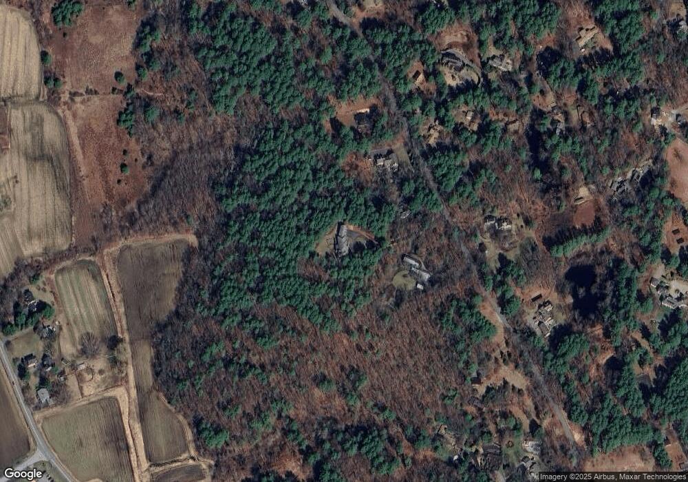
Map
Nearby Homes
- 29 King Ln
- 850 Old Road to 9 Acre Corner
- 32 Bolton St
- 40 Rookery Ln Unit 5
- 72 Rookery Ln Unit 3
- 56 Rookery Ln Unit 4
- 89 Mattison Dr
- 367 Powder Mill Rd
- 117 Cold Brook Dr Unit 7
- 108 Hawks Perch Unit 108
- 56 Seymour St
- 401 Emery Ln Unit 304
- 497 Old Road to 9 Acre Corner
- 141 Chestnut Cir Unit 141
- 25 Fairhaven Rd
- 132 Williams Rd
- 16 Hampshire Rd
- 236 Fairhaven Rd
- 1B Quaboag Valley Co-Op St
- Lot 5 Sailaway Ln
- 252 Garfield Rd
- 284 Garfield Rd
- 236 Garfield Rd
- 216 Garfield Rd
- 10 The Valley Rd
- 257 Garfield Rd
- 279 Garfield Rd
- 24 The Valley Rd
- 9 The Valley Rd
- 44 The Valley Rd
- 44 The Valley Rd
- 44 The Valley Rd Unit 44
- 323 Garfield Rd
- 330 Garfield Rd
- 31 The Valley Rd
- 31 The Valley Rd Unit 31
- 40 Brigham Woods
- 66 The Valley Rd
- 45 The Valley Rd
- 150 Garfield Rd
Your Personal Tour Guide
Ask me questions while you tour the home.