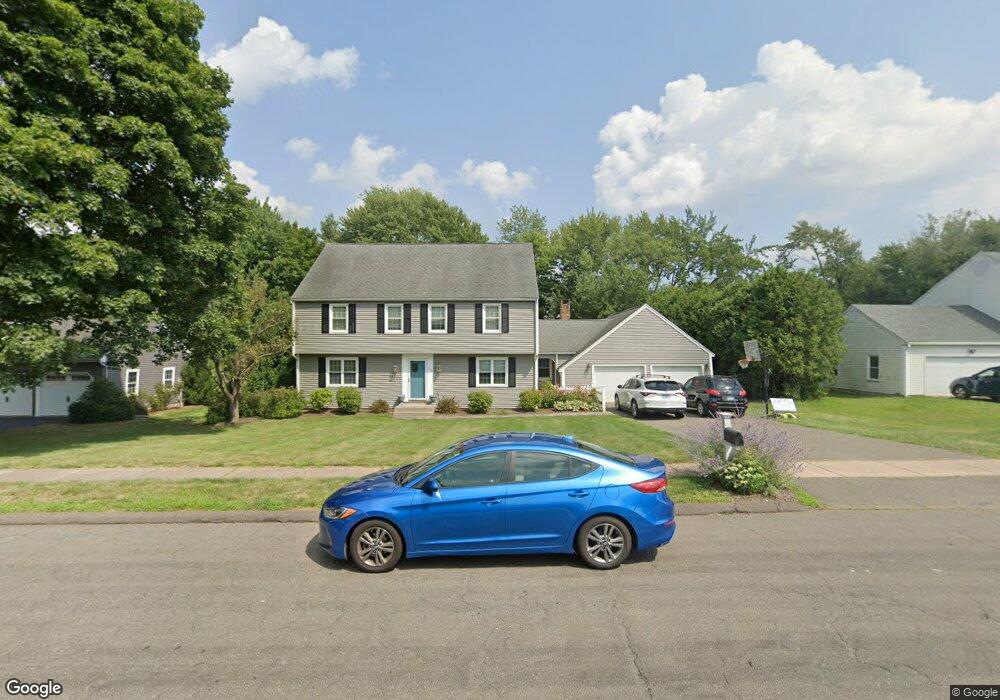
262 Highcrest Rd Wethersfield, CT 06109
Estimated Value: $581,105 - $673,000
About This Home
This home is located at 262 Highcrest Rd, Wethersfield, CT 06109 and is currently estimated at $612,776, approximately $235 per square foot. 262 Highcrest Rd is a home located in Hartford County with nearby schools including Highcrest School, Silas Deane Middle School, and Wethersfield High School.
Ownership History
We collect this data history from publicly available records. To have your information removed, we recommend requesting removal directly through your county’s website.
Purchase Details
Home Financials for this Owner
Home Financials are based on the most recent Mortgage that was taken out on this home.Purchase Details
Purchase Details
Home Values in the Area
Average Home Value in this Area
Purchase History
We collect this data history from publicly available records. To have your information removed, we recommend requesting removal directly through your county’s website.
| Date | Buyer | Sale Price | Title Company |
|---|---|---|---|
| $580,000 | -- | ||
| -- | -- | ||
| $407,500 | -- |
Mortgage History
We collect this data history from publicly available records. To have your information removed, we recommend requesting removal directly through your county’s website.
| Date | Status | Borrower | Loan Amount |
|---|---|---|---|
| Open | $460,000 | ||
| Previous Owner | $309,000 | ||
| Previous Owner | $189,000 |
Tax History
We collect this data history from publicly available records. To have your information removed, we recommend requesting removal directly through your county’s website.
| Year | Tax Paid | Tax Assessment Tax Assessment Total Assessment is a certain percentage of the fair market value that is determined by local assessors to be the total taxable value of land and additions on the property. | Land | Improvement |
|---|---|---|---|---|
| 2025 | $16,730 | $405,860 | $112,840 | $293,020 |
| 2024 | $10,890 | $251,960 | $93,020 | $158,940 |
| 2023 | $10,527 | $251,960 | $93,020 | $158,940 |
| 2022 | $10,351 | $251,960 | $93,020 | $158,940 |
| 2021 | $10,247 | $251,960 | $93,020 | $158,940 |
| 2020 | $10,252 | $251,960 | $93,020 | $158,940 |
| 2019 | $10,265 | $251,960 | $93,020 | $158,940 |
| 2018 | $9,750 | $239,100 | $84,700 | $154,400 |
| 2017 | $9,509 | $239,100 | $84,700 | $154,400 |
| 2016 | $9,215 | $239,100 | $84,700 | $154,400 |
| 2015 | $9,131 | $239,100 | $84,700 | $154,400 |
| 2014 | $8,785 | $239,100 | $84,700 | $154,400 |
Map
- 268 Fox Hill Rd
- 72 Old Post Rd
- 155 Old Common Rd
- 508 Highland St
- 501 Highland St
- 25 Amato Dr
- 970 Cloverdale Cir
- 1211 Maple St
- 107 Knollwood Rd
- 152 Surrey Dr
- 46 Stonegate Dr
- 101 Collier Rd
- 5 Westmont Rd
- 748 Maple St
- 80 Grist Mill Rd
- 76 Collier Rd
- 6 Vinnie Dr
- 3 Copper Beech Dr
- 80 Little Oak Ln
- 75 Barry Place
- 270 Highcrest Rd
- 254 Highcrest Rd
- 24 Stockade Cir
- 25 Stockade Cir
- 5 Goff Brook Cir
- 278 Highcrest Rd
- 20 Stockade Cir
- 15 Sage Rd
- 11 Goff Brook Cir
- 21 Stockade Cir
- 6 Goff Brook Cir
- 286 Highcrest Rd
- 16 Stockade Cir
- 6 Lantern Ln
- 6 Quail Hill
- 6 Quail Hill Rd
- 14 Lantern Ln
- 19 Sage Rd
- 14 Goff Brook Cir
- 24 Lantern Ln
Ask me questions while you tour the home.