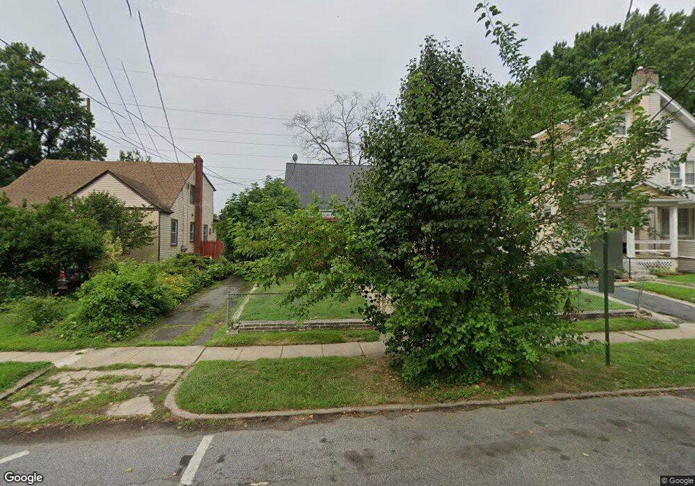
262 Hirst Ave Lansdowne, PA 19050
Estimated Value: $277,000 - $305,000
3
Beds
3
Baths
1,875
Sq Ft
$154/Sq Ft
Est. Value
About This Home
This home is located at 262 Hirst Ave, Lansdowne, PA 19050 and is currently estimated at $289,160, approximately $154 per square foot. 262 Hirst Ave is a home located in Delaware County with nearby schools including East Lansdowne Elementary School, Penn Wood Middle School, and Penn Wood High School - Cypress Street Campus.
Ownership History
Date
Name
Owned For
Owner Type
Purchase Details
Closed on
Jun 30, 1995
Sold by
Ghilardi Giuliano
Bought by
Feika Sally and Feika Elizabeth K
Current Estimated Value
Home Financials for this Owner
Home Financials are based on the most recent Mortgage that was taken out on this home.
Original Mortgage
$78,350
Interest Rate
7.7%
Mortgage Type
Purchase Money Mortgage
Create a Home Valuation Report for This Property
The Home Valuation Report is an in-depth analysis detailing your home's value as well as a comparison with similar homes in the area
Home Values in the Area
Average Home Value in this Area
Purchase History
| Date | Buyer | Sale Price | Title Company |
|---|---|---|---|
| Feika Sally | $82,500 | -- |
Source: Public Records
Mortgage History
| Date | Status | Borrower | Loan Amount |
|---|---|---|---|
| Closed | Feika Sally | $78,350 |
Source: Public Records
Tax History Compared to Growth
Tax History
| Year | Tax Paid | Tax Assessment Tax Assessment Total Assessment is a certain percentage of the fair market value that is determined by local assessors to be the total taxable value of land and additions on the property. | Land | Improvement |
|---|---|---|---|---|
| 2025 | $6,044 | $141,450 | $49,460 | $91,990 |
| 2024 | $6,044 | $141,450 | $49,460 | $91,990 |
| 2023 | $4,519 | $141,450 | $49,460 | $91,990 |
| 2022 | $5,451 | $141,450 | $49,460 | $91,990 |
| 2021 | $8,128 | $141,450 | $49,460 | $91,990 |
| 2020 | $5,018 | $76,190 | $21,390 | $54,800 |
| 2019 | $4,934 | $76,190 | $21,390 | $54,800 |
| 2018 | $4,869 | $76,190 | $0 | $0 |
| 2017 | $4,620 | $76,190 | $0 | $0 |
| 2016 | $418 | $76,190 | $0 | $0 |
| 2015 | $418 | $76,190 | $0 | $0 |
| 2014 | $418 | $76,190 | $0 | $0 |
Source: Public Records
Map
Nearby Homes
- 243 Coverly Rd
- 7247 Guilford Rd
- 7229 Clinton Rd
- 404 Croyden Rd
- 7216 Clinton Rd
- 239 N Maple Ave
- 319 E Essex Ave
- 317 E Essex Ave
- 291 N Wycombe Ave
- 315 E Essex Ave
- 669 Long Ln
- 178 N Union Ave
- 7181 Ruskin Ln
- 209 E Greenwood Ave
- 226 E Greenwood Ave
- 143 Springton Rd
- 346 Long Ln
- 164 Woodland Ave
- 535 Glendale Rd
- 607 Littlecroft Rd
- 264 Hirst Ave
- 260 Hirst Ave
- 266 Hirst Ave
- 256 Hirst Ave
- 270 Hirst Ave
- 254 Hirst Ave
- 250 Hirst Ave
- 269 Hirst Ave
- 263 Hirst Ave
- 339 Glenwood Ave Unit A
- 339 Glenwood Ave Unit B
- 339 Glenwood Ave Unit C
- 339 Glenwood Ave
- 259 Hirst Ave
- 255 Hirst Ave
- 401 Glenwood Ave
- 253 Hirst Ave
- 246 Hirst Ave
- 403 Glenwood Ave
- 251 Hirst Ave