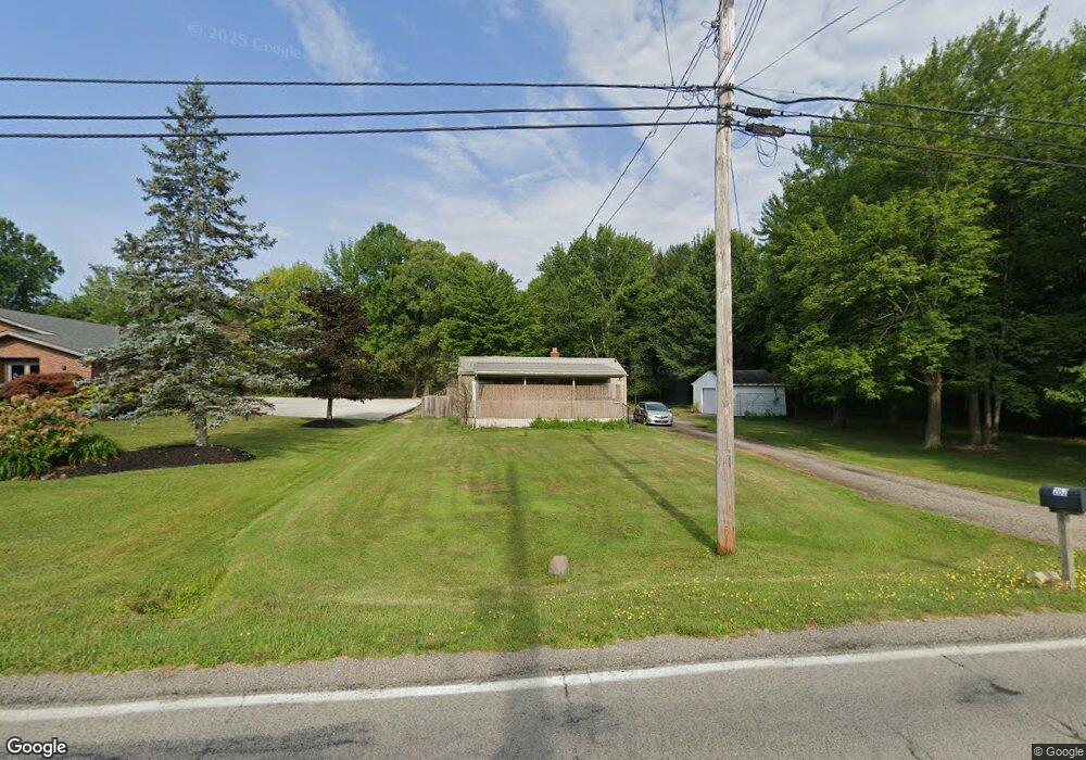
262 Jacobs Rd Hubbard, OH 44425
Estimated Value: $90,818 - $152,000
Studio
--
Bath
--
Sq Ft
20,473
Sq Ft
About This Home
This home is located at 262 Jacobs Rd, Hubbard, OH 44425 and is currently estimated at $121,409. 262 Jacobs Rd is a home located in Trumbull County with nearby schools including Hubbard Elementary School, Hubbard Middle School, and Hubbard High School.
Ownership History
Date
Name
Owned For
Owner Type
Purchase Details
Closed on
Jul 6, 2022
Sold by
Carol St Hilaire
Bought by
Monica Rojas
Current Estimated Value
Purchase Details
Closed on
Aug 22, 1994
Sold by
Louis Lev & Sons Inc
Bought by
Britton Stephen L
Purchase Details
Closed on
Jan 1, 1990
Bought by
Louis Lev&Son Inc
Create a Home Valuation Report for This Property
The Home Valuation Report is an in-depth analysis detailing your home's value as well as a comparison with similar homes in the area
Home Values in the Area
Average Home Value in this Area
Purchase History
| Date | Buyer | Sale Price | Title Company |
|---|---|---|---|
| Monica Rojas | -- | -- | |
| Britton Stephen L | $400 | -- | |
| Louis Lev&Son Inc | -- | -- |
Source: Public Records
Tax History
| Year | Tax Paid | Tax Assessment Tax Assessment Total Assessment is a certain percentage of the fair market value that is determined by local assessors to be the total taxable value of land and additions on the property. | Land | Improvement |
|---|---|---|---|---|
| 2024 | $242 | $4,170 | $1,930 | $2,240 |
| 2023 | $242 | $4,170 | $1,930 | $2,240 |
| 2022 | $247 | $3,790 | $1,930 | $1,860 |
| 2021 | $248 | $3,790 | $1,930 | $1,860 |
| 2020 | $249 | $3,790 | $1,930 | $1,860 |
| 2019 | $250 | $3,610 | $1,930 | $1,680 |
| 2018 | $243 | $3,610 | $1,930 | $1,680 |
| 2017 | $242 | $3,610 | $1,930 | $1,680 |
| 2016 | $222 | $3,470 | $1,930 | $1,540 |
| 2015 | $223 | $3,470 | $1,930 | $1,540 |
| 2014 | $219 | $3,470 | $1,930 | $1,540 |
| 2013 | $223 | $3,540 | $1,930 | $1,610 |
Source: Public Records
Map
Nearby Homes
- 229 Jacobs Rd
- 6095 Bell Ave
- 365 Scott St
- 601 Wendemere Dr
- 585 Creekside Dr
- 3578 Homewood Ave
- 228 Stewart St
- 327 W Park Ave
- 330 Myron St Unit 3
- V/L Jacobs Rd
- 2915 Megan Cir
- 132 Drummond Ave
- 2675 Seifert-Lewis Rd
- 2508 Applegate Rd
- 1720 Jacobs Rd
- 0 Powder Mill Run Unit 5127327
- 0 Powder Mill Run Unit 5127333
- 3502 Somerset Dr Unit B
- 784 Elmwood Dr
- 0 Homestead Rd
Your Personal Tour Guide
Ask me questions while you tour the home.