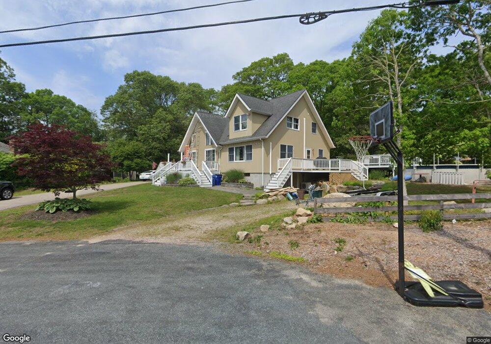
262 Juniper Rd Wakefield, RI 02879
Estimated Value: $731,000 - $996,380
4
Beds
2
Baths
1,276
Sq Ft
$670/Sq Ft
Est. Value
About This Home
This home is located at 262 Juniper Rd, Wakefield, RI 02879 and is currently estimated at $854,345, approximately $669 per square foot. 262 Juniper Rd is a home located in Washington County with nearby schools including South Kingstown High School.
Ownership History
Date
Name
Owned For
Owner Type
Purchase Details
Closed on
Oct 20, 2022
Sold by
Marcotte Michael J and Marcotte Mary E
Bought by
Michael J & M E Marcotte Lt
Current Estimated Value
Purchase Details
Closed on
Oct 4, 1999
Sold by
Mcelroy William T
Bought by
Marcotte Michael J and Marcotte Mary E
Purchase Details
Closed on
Aug 25, 1997
Sold by
Lawrence Thomas E and Lawrence Bernadette M
Bought by
Mcelroy William T
Create a Home Valuation Report for This Property
The Home Valuation Report is an in-depth analysis detailing your home's value as well as a comparison with similar homes in the area
Home Values in the Area
Average Home Value in this Area
Purchase History
| Date | Buyer | Sale Price | Title Company |
|---|---|---|---|
| Michael J & M E Marcotte Lt | -- | None Available | |
| Marcotte Michael J | $128,000 | -- | |
| Mcelroy William T | $121,000 | -- |
Source: Public Records
Mortgage History
| Date | Status | Borrower | Loan Amount |
|---|---|---|---|
| Previous Owner | Mcelroy William T | $70,000 | |
| Previous Owner | Mcelroy William T | $25,000 |
Source: Public Records
Tax History
| Year | Tax Paid | Tax Assessment Tax Assessment Total Assessment is a certain percentage of the fair market value that is determined by local assessors to be the total taxable value of land and additions on the property. | Land | Improvement |
|---|---|---|---|---|
| 2025 | $7,170 | $802,000 | $347,700 | $454,300 |
| 2024 | $7,230 | $654,300 | $267,000 | $387,300 |
| 2023 | $7,230 | $654,300 | $267,000 | $387,300 |
| 2022 | $7,165 | $654,300 | $267,000 | $387,300 |
| 2021 | $6,342 | $438,900 | $163,300 | $275,600 |
| 2020 | $6,342 | $438,900 | $163,300 | $275,600 |
| 2019 | $6,342 | $438,900 | $163,300 | $275,600 |
| 2018 | $5,896 | $376,000 | $150,900 | $225,100 |
| 2017 | $5,757 | $376,000 | $150,900 | $225,100 |
| 2016 | $5,674 | $376,000 | $150,900 | $225,100 |
| 2015 | $5,570 | $358,900 | $136,900 | $222,000 |
| 2014 | $5,556 | $358,900 | $136,900 | $222,000 |
Source: Public Records
Map
Nearby Homes
- 0 Old Post Rd
- 24 Castle Rock Dr Unit C
- 12 Mautucket Rd
- 10 Josephine Dr Unit 1C
- 10 Josephine Dr Unit 2D
- 45 Elizabeth Cooper Dr
- 1935 Matunuck School House Rd
- 350 Narrow Ln
- 5 Shadberry Trail
- 120 Narrow Ln
- 14 Charlestown Rd
- 15 Charlestown Rd
- 197 Old Coach Rd
- 38 Beach Dr
- 61 Slope Ave
- 19 Traymore St
- 11 Wendy Ln
- 20 Auburn Dr
- 4459 Old Post Rd
- 209 Carpenter Dr
- 3950 Post Rd
- 252 Juniper Rd
- 3462 Old Post Rd
- 3540 Old Post Rd
- 3835 Post Rd
- 3601 Old Post Rd
- 3363 Old Post Rd
- 3561 Old Post Rd
- 3700 Post Rd
- 246 Juniper Rd
- 265 Juniper Rd
- 3727 Old Post Rd
- 76 Old Post Rd
- 255 Juniper Rd
- 25 Old Post Rd
- 3737 Old Post Rd
- 238 Juniper Rd
- 245 Juniper Rd
- 356 Holly Rd
- 360 Holly Rd
Your Personal Tour Guide
Ask me questions while you tour the home.