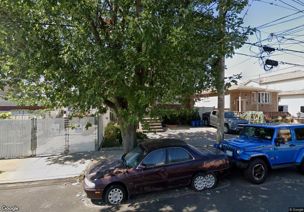
262 Kensington Ave Staten Island, NY 10305
South Beach NeighborhoodEstimated Value: $908,822 - $1,436,000
--
Bed
--
Bath
2,904
Sq Ft
$424/Sq Ft
Est. Value
About This Home
This home is located at 262 Kensington Ave, Staten Island, NY 10305 and is currently estimated at $1,231,456, approximately $424 per square foot. 262 Kensington Ave is a home located in Richmond County with nearby schools including P.S. 46 Albert V Maniscalco, I.S. 49 Berta A Dreyfus, and Curtis High School.
Ownership History
Date
Name
Owned For
Owner Type
Purchase Details
Closed on
Jan 25, 2018
Sold by
Arrigali Irene and Trovato Giovanna
Bought by
Arrigali Christopher and The Irene Arrigali Irrevocable
Current Estimated Value
Purchase Details
Closed on
Feb 19, 2003
Sold by
Trovato Giovanna
Bought by
Arrigali Irene
Purchase Details
Closed on
May 30, 1996
Sold by
Trovato Giovan Battista and Trovato Giovanna
Bought by
The Trovato Family Trust
Create a Home Valuation Report for This Property
The Home Valuation Report is an in-depth analysis detailing your home's value as well as a comparison with similar homes in the area
Home Values in the Area
Average Home Value in this Area
Purchase History
| Date | Buyer | Sale Price | Title Company |
|---|---|---|---|
| Arrigali Christopher | -- | None Available | |
| Arrigali Irene | -- | Washington Title | |
| The Trovato Family Trust | -- | Commonwealth Land Title Ins |
Source: Public Records
Tax History Compared to Growth
Tax History
| Year | Tax Paid | Tax Assessment Tax Assessment Total Assessment is a certain percentage of the fair market value that is determined by local assessors to be the total taxable value of land and additions on the property. | Land | Improvement |
|---|---|---|---|---|
| 2025 | $7,376 | $84,120 | $4,740 | $79,380 |
| 2024 | $8,139 | $68,940 | $5,784 | $63,156 |
| 2023 | $7,508 | $40,216 | $5,947 | $34,269 |
| 2022 | $3,128 | $54,120 | $9,840 | $44,280 |
| 2021 | $3,055 | $46,380 | $9,840 | $36,540 |
| 2020 | $2,915 | $49,860 | $9,840 | $40,020 |
| 2019 | $2,873 | $49,860 | $9,840 | $40,020 |
| 2018 | $2,757 | $33,514 | $8,794 | $24,720 |
| 2017 | $2,639 | $31,617 | $7,856 | $23,761 |
| 2016 | $2,360 | $29,828 | $8,348 | $21,480 |
| 2015 | $2,091 | $28,140 | $8,220 | $19,920 |
| 2014 | $2,091 | $28,140 | $8,220 | $19,920 |
Source: Public Records
Map
Nearby Homes
- 182 Olympia Blvd
- 40 Mclaughlin St
- 11 Lava St
- 236 Mallory Ave
- 62 Mclaughlin St
- 49 Mclaughlin St
- 53 Andrews St
- 166 Jerome Ave
- 200 Mallory Ave
- 504 Mcclean Ave
- 220 Norway Ave
- 116 Bionia Ave
- 84 Winfield St
- 104 Winfield St
- 150 Linwood Ave
- 55 Lansing St
- 12 Reid Ave
- 46 Olympia Blvd
- 44 Olympia Blvd
- 41 Olympia Blvd
- 266 Kensington Ave
- 258 Kensington Ave
- 260 Kensington Ave
- 187 Olympia Blvd
- 291-293 Lamport Blvd
- 291 Lamport Blvd
- 293 Lamport Blvd
- 287 Lamport Blvd Unit 2
- 287 Lamport Blvd
- 287 Lamport Blvd Unit 1
- 295 Lamport Blvd
- 256 Kensington Ave
- 283 Lamport Blvd
- 191 Olympia Blvd
- 281 Lamport Blvd
- 254 Kensington Ave
- 279 Lamport Blvd
- 263 Kensington Ave
- 275 Lamport Blvd
- 257 Kensington Ave