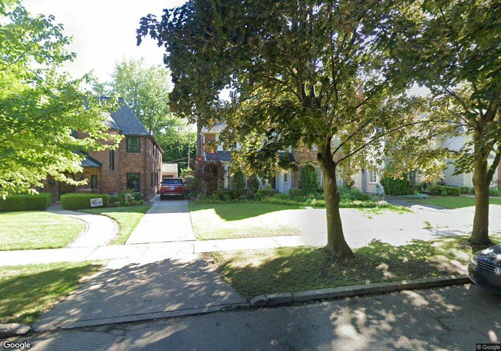
262 Lewiston Rd Grosse Pointe Farms, MI 48236
Estimated Value: $679,836 - $812,000
4
Beds
4
Baths
3,000
Sq Ft
$240/Sq Ft
Est. Value
About This Home
This home is located at 262 Lewiston Rd, Grosse Pointe Farms, MI 48236 and is currently estimated at $720,709, approximately $240 per square foot. 262 Lewiston Rd is a home located in Wayne County with nearby schools including Richard Elementary School, Brownell Middle School, and Grosse Pointe South High School.
Ownership History
Date
Name
Owned For
Owner Type
Purchase Details
Closed on
Nov 4, 2009
Sold by
Turin Eric M
Bought by
Onewest Bank Fsb
Current Estimated Value
Purchase Details
Closed on
Aug 21, 2000
Sold by
Turin Elizabeth L
Bought by
Turin Eric M
Purchase Details
Closed on
Apr 2, 1996
Sold by
Eric M and Eric Elizabeth L
Bought by
Susan J Huige and Rosberg Sally E
Create a Home Valuation Report for This Property
The Home Valuation Report is an in-depth analysis detailing your home's value as well as a comparison with similar homes in the area
Home Values in the Area
Average Home Value in this Area
Purchase History
| Date | Buyer | Sale Price | Title Company |
|---|---|---|---|
| Onewest Bank Fsb | $203,632 | None Available | |
| Turin Eric M | -- | -- | |
| Susan J Huige | $253,000 | -- |
Source: Public Records
Tax History Compared to Growth
Tax History
| Year | Tax Paid | Tax Assessment Tax Assessment Total Assessment is a certain percentage of the fair market value that is determined by local assessors to be the total taxable value of land and additions on the property. | Land | Improvement |
|---|---|---|---|---|
| 2025 | $5,389 | $323,000 | $0 | $0 |
| 2024 | $5,389 | $301,300 | $0 | $0 |
| 2023 | $4,937 | $272,200 | $0 | $0 |
| 2022 | $4,937 | $246,300 | $0 | $0 |
| 2021 | $9,059 | $230,200 | $0 | $0 |
| 2019 | $8,908 | $219,100 | $0 | $0 |
| 2018 | $4,559 | $207,800 | $0 | $0 |
| 2017 | $7,910 | $202,500 | $0 | $0 |
| 2016 | $8,291 | $193,100 | $0 | $0 |
| 2015 | $16,423 | $183,000 | $0 | $0 |
| 2013 | $15,910 | $159,100 | $0 | $0 |
| 2012 | $4,150 | $156,000 | $31,100 | $124,900 |
Source: Public Records
Map
Nearby Homes
- 276 Lewiston Rd
- 194 Charlevoix Ave
- 240 Mckinley Ave
- 233 Mcmillan Rd
- 213 Muir Rd
- 259 Mount Vernon Ave
- 341 Mcmillan Rd
- 218 Merriweather Rd
- 352 Mckinley Ave
- 201 Mcmillan Rd
- 166 Lewiston Rd
- 745 Lincoln Rd
- 827 Fisher Rd
- 317 Mount Vernon Ave
- 302 Mount Vernon Ave
- 216 Ridge Rd
- 314 Mount Vernon Ave
- 180 Fisher Rd
- 343 Mount Vernon Ave
- 380 Merriweather Rd
- 264 Lewiston Rd
- 260 Lewiston Rd
- 266 Lewiston Rd
- 256 Lewiston Rd
- 254 Lewiston Rd
- 268 Lewiston Rd
- 261 Kenwood Ct
- 263 Kenwood Ct
- 257 Kenwood Ct
- 267 Kenwood Ct
- 255 Kenwood Ct
- 261 Lewiston Rd
- 270 Lewiston Rd
- 252 Lewiston Rd
- 259 Lewiston Rd
- 269 Kenwood Ct
- 253 Kenwood Ct
- 257 Lewiston Rd
- 267 Lewiston Rd
- 271 Kenwood Ct