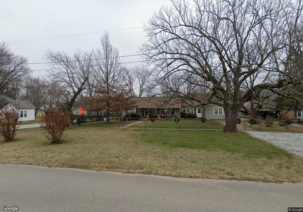
262 Maple Ave West Fork, AR 72774
Estimated Value: $244,000 - $297,000
Studio
2
Baths
1,834
Sq Ft
$148/Sq Ft
Est. Value
About This Home
This home is located at 262 Maple Ave, West Fork, AR 72774 and is currently estimated at $271,967, approximately $148 per square foot. 262 Maple Ave is a home located in Washington County with nearby schools including West Fork Elementary School, West Fork Middle School, and West Fork High School.
Ownership History
Date
Name
Owned For
Owner Type
Purchase Details
Closed on
Jun 1, 1990
Bought by
Rossetti Charles David and Rossetti Kay M
Current Estimated Value
Purchase Details
Closed on
Jan 1, 1985
Bought by
Moncrief William A and Moncrief Mary E
Create a Home Valuation Report for This Property
The Home Valuation Report is an in-depth analysis detailing your home's value as well as a comparison with similar homes in the area
Home Values in the Area
Average Home Value in this Area
Purchase History
| Date | Buyer | Sale Price | Title Company |
|---|---|---|---|
| Rossetti Charles David | $50,000 | -- | |
| Moncrief William A | -- | -- |
Source: Public Records
Tax History
| Year | Tax Paid | Tax Assessment Tax Assessment Total Assessment is a certain percentage of the fair market value that is determined by local assessors to be the total taxable value of land and additions on the property. | Land | Improvement |
|---|---|---|---|---|
| 2025 | $806 | $50,840 | $7,000 | $43,840 |
| 2024 | $903 | $50,840 | $7,000 | $43,840 |
| 2023 | $986 | $50,840 | $7,000 | $43,840 |
| 2022 | $1,036 | $34,110 | $4,500 | $29,610 |
| 2021 | $1,036 | $34,110 | $4,500 | $29,610 |
| 2020 | $1,036 | $34,110 | $4,500 | $29,610 |
| 2019 | $816 | $22,430 | $3,600 | $18,830 |
| 2018 | $841 | $22,430 | $3,600 | $18,830 |
| 2017 | $807 | $22,430 | $3,600 | $18,830 |
| 2016 | $807 | $22,430 | $3,600 | $18,830 |
| 2015 | $807 | $22,430 | $3,600 | $18,830 |
| 2014 | $806 | $22,410 | $6,400 | $16,010 |
Source: Public Records
Map
Nearby Homes
- 224 Maple Ave
- 0000 Highway 170
- 185 Wheeler St
- 222 Rivendale Dr
- 0 W Smith St Unit 1334508
- 365 W Smith St
- 327 W Smith St
- 385 W Smith St
- 353 W Smith St
- 503 Clark Ave
- 338 Hidden Creek Place
- 260 Culp Trail
- 67 S Red Oak Ave
- 846 James Place
- 13582 S Highway 170
- 696 E Thornstone Ave
- 815 James Place
- 13653 W Mountain Rd
- 218 Main St
- 210 Main St
- 233 Garfield Ave
- 7 Hwy 170
- 000 Hwy 170
- 52 Stanley Dr
- 0 Bugscuffel Road (Wc 216)
- 188 Withdrawn
- 534 Duplicate
- 17400 Sunset
- 0 Montgomery Rd 4145
- 0 Cr 2113
- 0 Co Rd 38
- 0 Cr 4269
- C1 Hwy 70
- C2 Hwy 70
- C3 Hwy 70
- 0 Heflin Thomas Farm Unit 1135671
- 60 AC Union Starr Rd
- 80 AC Union Starr Rd
Your Personal Tour Guide
Ask me questions while you tour the home.