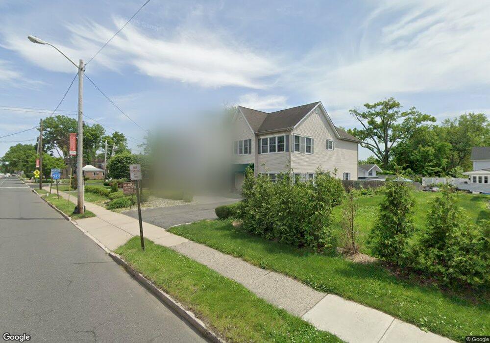
262 Millburn Ave Millburn, NJ 07041
Estimated Value: $1,000,000 - $1,306,000
3
Beds
12
Baths
1,760
Sq Ft
$681/Sq Ft
Est. Value
About This Home
This home is located at 262 Millburn Ave, Millburn, NJ 07041 and is currently estimated at $1,198,100, approximately $680 per square foot. 262 Millburn Ave is a home located in Essex County with nearby schools including South Mountain School, Millburn Middle School, and Millburn High School.
Ownership History
Date
Name
Owned For
Owner Type
Purchase Details
Closed on
Apr 13, 2018
Sold by
Shan Fei and Ye Steven
Bought by
Shan Fei and Ye Steven
Current Estimated Value
Purchase Details
Closed on
Oct 15, 2008
Sold by
Pizzi Joseph L
Bought by
Mclean Jonathan and West Gary
Home Financials for this Owner
Home Financials are based on the most recent Mortgage that was taken out on this home.
Original Mortgage
$554,064
Interest Rate
6.41%
Mortgage Type
FHA
Create a Home Valuation Report for This Property
The Home Valuation Report is an in-depth analysis detailing your home's value as well as a comparison with similar homes in the area
Home Values in the Area
Average Home Value in this Area
Purchase History
| Date | Buyer | Sale Price | Title Company |
|---|---|---|---|
| Shan Fei | $470,000 | -- | |
| Mclean Jonathan | $560,000 | Landamerica Nj Title Ins Co |
Source: Public Records
Mortgage History
| Date | Status | Borrower | Loan Amount |
|---|---|---|---|
| Previous Owner | Mclean Jonathan | $554,064 |
Source: Public Records
Tax History
| Year | Tax Paid | Tax Assessment Tax Assessment Total Assessment is a certain percentage of the fair market value that is determined by local assessors to be the total taxable value of land and additions on the property. | Land | Improvement |
|---|---|---|---|---|
| 2025 | $18,537 | $947,700 | $395,000 | $552,700 |
| 2024 | $18,537 | $947,700 | $395,000 | $552,700 |
| 2022 | $18,414 | $947,700 | $395,000 | $552,700 |
| 2021 | $8,140 | $420,000 | $395,000 | $25,000 |
| 2020 | $8,089 | $420,000 | $395,000 | $25,000 |
| 2019 | $9,909 | $513,400 | $395,000 | $118,400 |
| 2018 | $9,765 | $513,400 | $395,000 | $118,400 |
| 2017 | $9,529 | $513,400 | $395,000 | $118,400 |
| 2016 | $12,808 | $594,600 | $339,100 | $255,500 |
| 2015 | $12,516 | $594,600 | $339,100 | $255,500 |
| 2014 | $11,987 | $594,600 | $339,100 | $255,500 |
Source: Public Records
Map
Nearby Homes
- 29 S Mountain Rd
- 30 Walnut Ave
- 161 Myrtle Ave
- 425 Wyoming Ave
- 819 Ridgewood Rd
- 5 Brookside Dr
- 15 Evergreen Terrace
- 33 Haran Cir
- 221 Main St
- 7 Willow St
- 27 Willow St Unit A
- 26 Franklin St
- 8 Willow St
- 96 Rector St
- 23 Reeve Cir
- 270 Main St Unit D
- 19 Bodwell Terrace
- 37 Cypress St
- 8 Arcadia Place
- 90 Whitney Rd
- 260 Millburn Ave
- 264 Millburn Ave
- 258 Millburn Ave
- 6 Parkview Dr
- 7 Undercliff Rd
- 266 Millburn Ave
- 2 Parkview Dr
- 8 Parkview Dr
- 9 Undercliff Rd
- 10 Parkview Dr
- 250 Millburn Ave
- 11 Undercliff Rd
- 12 Parkview Dr
- 1 Parkview Dr
- 13 Undercliff Rd
- 8 Undercliff Rd
- 14 Parkview Dr
- 10 Undercliff Rd
- 274 Millburn Ave
- 15 Undercliff Rd
Your Personal Tour Guide
Ask me questions while you tour the home.