262 S 650 West Cir American Fork, UT 84003
Estimated Value: $862,000
6
Beds
4
Baths
4,384
Sq Ft
$197/Sq Ft
Est. Value
About This Home
This home is located at 262 S 650 West Cir, American Fork, UT 84003 and is currently priced at $862,000, approximately $196 per square foot. 262 S 650 West Cir is a home located in Utah County with nearby schools including Greenwood Elementary School, American Fork Junior High School, and American Fork High School.
Ownership History
Date
Name
Owned For
Owner Type
Purchase Details
Closed on
Dec 14, 2021
Sold by
Kane and Sharolyn
Bought by
Warburton Seth and Warburton Brittney
Current Estimated Value
Home Financials for this Owner
Home Financials are based on the most recent Mortgage that was taken out on this home.
Original Mortgage
$600,000
Outstanding Balance
$551,843
Interest Rate
3.11%
Mortgage Type
New Conventional
Purchase Details
Closed on
Mar 23, 2021
Sold by
Beck Michael
Bought by
Kane Brian and Kane Sharolyn
Purchase Details
Closed on
Nov 25, 2013
Sold by
Coates Joshua and Coates Celianne
Bought by
Wily Zachary S
Home Financials for this Owner
Home Financials are based on the most recent Mortgage that was taken out on this home.
Original Mortgage
$600,000
Interest Rate
4.04%
Mortgage Type
Purchase Money Mortgage
Purchase Details
Closed on
Mar 23, 2009
Sold by
Kane Brian C and Kane Sharolyn
Bought by
Kane Brian and Kane Sharolyn
Home Financials for this Owner
Home Financials are based on the most recent Mortgage that was taken out on this home.
Original Mortgage
$360,000
Interest Rate
5.15%
Mortgage Type
Stand Alone Refi Refinance Of Original Loan
Purchase Details
Closed on
Sep 27, 2007
Sold by
Pope Chad L and Pope Angie B
Bought by
Kane Brian C and Kane Sharolyn
Home Financials for this Owner
Home Financials are based on the most recent Mortgage that was taken out on this home.
Original Mortgage
$300,000
Interest Rate
6.61%
Mortgage Type
Purchase Money Mortgage
Purchase Details
Closed on
Nov 13, 2006
Sold by
Risinger Scott L and Risinger Carla M
Bought by
Pope Chad L and Pope Angie B
Home Financials for this Owner
Home Financials are based on the most recent Mortgage that was taken out on this home.
Original Mortgage
$47,000
Interest Rate
6.36%
Mortgage Type
Credit Line Revolving
Purchase Details
Closed on
Aug 22, 2005
Sold by
Heyman Walter A
Bought by
Risinger Scott L and Risinger Carla M
Home Financials for this Owner
Home Financials are based on the most recent Mortgage that was taken out on this home.
Original Mortgage
$293,385
Interest Rate
5.56%
Mortgage Type
Construction
Create a Home Valuation Report for This Property
The Home Valuation Report is an in-depth analysis detailing your home's value as well as a comparison with similar homes in the area
Home Values in the Area
Average Home Value in this Area
Purchase History
| Date | Buyer | Sale Price | Title Company |
|---|---|---|---|
| Warburton Seth | -- | First American Title | |
| Kane Brian | -- | Accommodation | |
| Wily Zachary S | -- | Eagle Pointe Title Insurace | |
| Kane Brian | -- | Sutherland Title Company | |
| Kane Brian C | -- | Atlas Title | |
| Pope Chad L | -- | Atlas Title | |
| Risinger Scott L | -- | First American Title Agency |
Source: Public Records
Mortgage History
| Date | Status | Borrower | Loan Amount |
|---|---|---|---|
| Open | Warburton Seth | $600,000 | |
| Previous Owner | Wily Zachary S | $600,000 | |
| Previous Owner | Kane Brian | $360,000 | |
| Previous Owner | Kane Brian C | $300,000 | |
| Previous Owner | Pope Chad L | $47,000 | |
| Previous Owner | Pope Chad L | $376,000 | |
| Previous Owner | Risinger Scott L | $293,385 |
Source: Public Records
Tax History Compared to Growth
Tax History
| Year | Tax Paid | Tax Assessment Tax Assessment Total Assessment is a certain percentage of the fair market value that is determined by local assessors to be the total taxable value of land and additions on the property. | Land | Improvement |
|---|---|---|---|---|
| 2023 | $3,466 | $413,215 | $0 | $0 |
| 2022 | $3,466 | $402,930 | $0 | $0 |
| 2021 | $3,039 | $551,900 | $174,300 | $377,600 |
| 2020 | $2,958 | $521,000 | $161,400 | $359,600 |
| 2019 | $2,834 | $516,200 | $161,400 | $354,800 |
| 2018 | $2,915 | $507,700 | $152,900 | $354,800 |
| 2017 | $2,971 | $279,235 | $0 | $0 |
| 2016 | $2,677 | $233,805 | $0 | $0 |
| 2015 | $2,765 | $229,130 | $0 | $0 |
| 2014 | $2,774 | $226,820 | $0 | $0 |
Source: Public Records
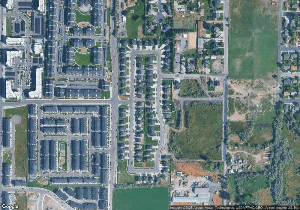
Map
Nearby Homes
- 304 S 680 W
- 334 S 680 W
- 415 S 680 W Unit 45
- 763 W Bronze Leaf Rd
- 455 S 680 W
- 418 S Wood Stream Rd
- 468 S 740 W
- 924 W 360 S
- 424 S 900 W
- 491 S 800 W Unit 402
- 493 S 800 W Unit 403
- 448 S 900 W
- 452 S 900 W
- 382 W 330 S
- 505 S 800 W Unit 409
- 55 Roosevelt Ave
- 507 S 800 W Unit 410
- 413 S 980 W
- 733 W 540 S Unit 356
- 757 W 540 S
- 262 S 650 West Cir
- 262 S 650 West Cir Unit 4
- 269 S 650 West Cir
- 658 W 300 S
- 664 W 300 S Unit 12
- 269 S 650 West Cir Unit 3
- 654 W 300 S
- 248 S 650 West Cir
- 672 W 300 S
- 248 S 650 West Cir Unit 5
- 363 S 650 E
- 357 S 650 E
- 652 W 300 St S Unit 9
- 676 W 300 S
- 676 W 300 St S Unit LOT14
- 247 S 650 West Cir
- 301 S 650 W
- 678 W 300 S
- 226 S 650 West Cir
- 226 S 650 West Cir Unit 5