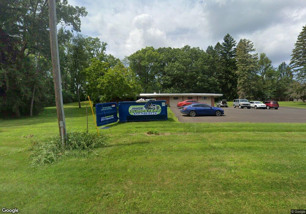
262 S Dettman Rd Jackson, MI 49203
Estimated Value: $246,000 - $281,000
--
Bed
--
Bath
2,227
Sq Ft
$120/Sq Ft
Est. Value
About This Home
This home is located at 262 S Dettman Rd, Jackson, MI 49203 and is currently estimated at $267,943, approximately $120 per square foot. 262 S Dettman Rd is a home located in Jackson County with nearby schools including East Jackson Elementary School, East Jackson Middle School, and East Jackson High School.
Ownership History
Date
Name
Owned For
Owner Type
Purchase Details
Closed on
Jul 30, 2020
Sold by
Conner Deborah S
Bought by
Renaissance House Inc
Current Estimated Value
Purchase Details
Closed on
May 1, 2020
Sold by
Fugate Susan J
Bought by
Renaissance House Inc
Purchase Details
Closed on
Nov 26, 2018
Sold by
Conner Deborah S
Bought by
Conner Deborah S
Purchase Details
Closed on
Mar 1, 1994
Bought by
Conner
Create a Home Valuation Report for This Property
The Home Valuation Report is an in-depth analysis detailing your home's value as well as a comparison with similar homes in the area
Home Values in the Area
Average Home Value in this Area
Purchase History
| Date | Buyer | Sale Price | Title Company |
|---|---|---|---|
| Renaissance House Inc | -- | None Available | |
| Renaissance House Inc | -- | None Available | |
| Conner Deborah S | -- | None Available | |
| Conner | $77,000 | -- |
Source: Public Records
Tax History Compared to Growth
Tax History
| Year | Tax Paid | Tax Assessment Tax Assessment Total Assessment is a certain percentage of the fair market value that is determined by local assessors to be the total taxable value of land and additions on the property. | Land | Improvement |
|---|---|---|---|---|
| 2025 | $6,073 | $132,050 | $0 | $0 |
| 2024 | $4,536 | $133,900 | $0 | $0 |
| 2023 | $4,320 | $126,700 | $0 | $0 |
| 2022 | $5,500 | $111,900 | $0 | $0 |
| 2021 | $5,374 | $94,900 | $0 | $0 |
| 2020 | $4,903 | $95,800 | $0 | $0 |
| 2019 | $4,774 | $94,700 | $0 | $0 |
| 2018 | $4,460 | $96,400 | $0 | $0 |
| 2017 | $4,267 | $91,500 | $0 | $0 |
| 2016 | $3,383 | $90,439 | $90,439 | $0 |
| 2015 | $4,296 | $80,204 | $80,204 | $0 |
| 2014 | $4,296 | $82,887 | $82,887 | $0 |
| 2013 | -- | $82,887 | $82,887 | $0 |
Source: Public Records
Map
Nearby Homes
- 324 Amos St
- 539 S Dettman Rd
- 698 S Dettman Rd
- 318 Seneca Dr
- 210 Watts Rd
- Vl Watts St
- 130 N Horton St
- 404 Seminole Place
- 133 N Forbes St
- 210 S Forbes St
- vl Seymour Rd
- Unit 48 Sanctuary Dr
- Unit 55 Sanctuary Dr
- Unit 50 Sanctuary Dr
- Unit 28 Sanctuary Dr
- Unit 53, 5 Sanctuary Dr
- Unit 53 Sanctuary Dr
- Unit 48,49 Sanctuary Dr
- 2013 Tyson St
- 353 N Forbes St
- 242 S Dettman Rd
- 249 S Dettman Rd
- 245 S Dettman Rd
- 319 S Dettman Rd
- 243 S Dettman Rd
- 331 S Dettman Rd
- 246 Briscoe St
- 225 S Dettman Rd
- 333 S Dettman Rd
- 3125 Hayes St
- 240 Briscoe St
- 223 S Dettman Rd
- 2900 Heritage Place Dr
- 234 Briscoe St
- 3129 Hayes St
- 348 S Dettman Rd
- 3133 Hayes St
- 226 Briscoe St
- 339 S Dettman Rd
- 241 Briscoe St