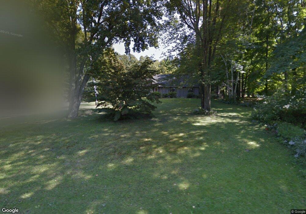
262 Sackett Rd Westfield, MA 01085
Estimated Value: $413,000 - $492,000
3
Beds
3
Baths
1,890
Sq Ft
$233/Sq Ft
Est. Value
About This Home
This home is located at 262 Sackett Rd, Westfield, MA 01085 and is currently estimated at $440,400, approximately $233 per square foot. 262 Sackett Rd is a home located in Hampden County with nearby schools including Westfield High School and Community Christian School.
Ownership History
Date
Name
Owned For
Owner Type
Purchase Details
Closed on
Oct 1, 2020
Sold by
Titcomb Sheldon M
Bought by
Lombardi James and Allessio Rachel
Current Estimated Value
Home Financials for this Owner
Home Financials are based on the most recent Mortgage that was taken out on this home.
Original Mortgage
$238,080
Outstanding Balance
$211,759
Interest Rate
2.9%
Mortgage Type
New Conventional
Estimated Equity
$228,641
Purchase Details
Closed on
Oct 30, 2014
Sold by
Titcomb Roberta W
Bought by
Titcomb Roberta W and Titcomb Sheldon M
Purchase Details
Closed on
Aug 31, 2004
Sold by
Titcomb Roberta W and Titcomb Sheldon M
Bought by
Titcomb Roberta W
Home Financials for this Owner
Home Financials are based on the most recent Mortgage that was taken out on this home.
Original Mortgage
$148,800
Interest Rate
6.02%
Mortgage Type
Purchase Money Mortgage
Create a Home Valuation Report for This Property
The Home Valuation Report is an in-depth analysis detailing your home's value as well as a comparison with similar homes in the area
Home Values in the Area
Average Home Value in this Area
Purchase History
| Date | Buyer | Sale Price | Title Company |
|---|---|---|---|
| Lombardi James | $256,000 | None Available | |
| Titcomb Roberta W | -- | -- | |
| Titcomb Roberta W | -- | -- |
Source: Public Records
Mortgage History
| Date | Status | Borrower | Loan Amount |
|---|---|---|---|
| Open | Lombardi James | $238,080 | |
| Previous Owner | Titcomb Roberta W | $148,800 |
Source: Public Records
Tax History
| Year | Tax Paid | Tax Assessment Tax Assessment Total Assessment is a certain percentage of the fair market value that is determined by local assessors to be the total taxable value of land and additions on the property. | Land | Improvement |
|---|---|---|---|---|
| 2025 | $5,727 | $377,300 | $127,900 | $249,400 |
| 2024 | $5,732 | $358,900 | $116,600 | $242,300 |
| 2023 | $5,456 | $333,600 | $110,900 | $222,700 |
| 2022 | $5,456 | $295,100 | $98,700 | $196,400 |
| 2021 | $2,251 | $279,900 | $93,100 | $186,800 |
| 2020 | $5,251 | $272,800 | $93,100 | $179,700 |
| 2019 | $5,130 | $260,800 | $88,700 | $172,100 |
| 2018 | $5,049 | $260,800 | $88,700 | $172,100 |
| 2017 | $4,942 | $254,500 | $90,000 | $164,500 |
| 2016 | $4,947 | $254,500 | $90,000 | $164,500 |
| 2015 | $4,652 | $250,900 | $90,000 | $160,900 |
| 2014 | $3,480 | $250,900 | $90,000 | $160,900 |
Source: Public Records
Map
Nearby Homes
- 377 N Loomis St
- 145 Honey Pot Rd
- 0 Fox Hill Dr
- 240 Hillside Rd
- 2 Sugar Maple Ln
- 112 Sunnyside Rd
- 30 Wynnfield Cir
- 25 Tannery Rd Unit 6A
- 12 Woodland Rd
- 26 Hayre St
- 324 Russell Rd Unit 204
- 324 Russell Rd Unit 109
- 44 Tannery Rd
- 42 Putnam Dr
- 44 Llewellyn Dr
- 74 S Maple St
- 70 S Maple St
- 29 Tall Pines Trail
- 34 Silvergrass Ln
- 180 Russell Rd
Your Personal Tour Guide
Ask me questions while you tour the home.