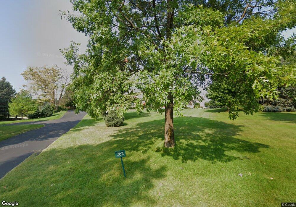
262 Saint Annes Pkwy Hudson, WI 54016
Troy NeighborhoodEstimated Value: $1,583,000 - $1,834,987
4
Beds
4
Baths
5,910
Sq Ft
$295/Sq Ft
Est. Value
About This Home
This home is located at 262 Saint Annes Pkwy, Hudson, WI 54016 and is currently estimated at $1,745,996, approximately $295 per square foot. 262 Saint Annes Pkwy is a home located in St. Croix County with nearby schools including Westside Elementary School, Meyer Middle School, and River Falls High School.
Ownership History
Date
Name
Owned For
Owner Type
Purchase Details
Closed on
Jan 3, 2023
Sold by
Lund Jay R and Lund Gail V
Bought by
Lund Jacob Richard and Lund Danielle Lee
Current Estimated Value
Purchase Details
Closed on
Jun 16, 2022
Sold by
Lund Jay R and Lund Gail V
Bought by
Lund Jay R and Lund Gail V
Purchase Details
Closed on
May 23, 2013
Sold by
Woulf Michael J and Woulf Kristy M
Bought by
Lund Jay R and Lund Gail
Home Financials for this Owner
Home Financials are based on the most recent Mortgage that was taken out on this home.
Original Mortgage
$880,000
Interest Rate
3.38%
Mortgage Type
Purchase Money Mortgage
Create a Home Valuation Report for This Property
The Home Valuation Report is an in-depth analysis detailing your home's value as well as a comparison with similar homes in the area
Home Values in the Area
Average Home Value in this Area
Purchase History
| Date | Buyer | Sale Price | Title Company |
|---|---|---|---|
| Lund Jacob Richard | $1,552,000 | None Listed On Document | |
| Lund Jacob Richard | $1,552,000 | None Listed On Document | |
| Lund Jay R | -- | None Listed On Document | |
| Lund Jay R | -- | None Listed On Document | |
| Lund Jay R | $1,090,000 | Fsa Title Services Llc | |
| Lund Jay R | $1,090,000 | Fsa Title Services Llc |
Source: Public Records
Mortgage History
| Date | Status | Borrower | Loan Amount |
|---|---|---|---|
| Previous Owner | Lund Jay R | $880,000 |
Source: Public Records
Tax History Compared to Growth
Tax History
| Year | Tax Paid | Tax Assessment Tax Assessment Total Assessment is a certain percentage of the fair market value that is determined by local assessors to be the total taxable value of land and additions on the property. | Land | Improvement |
|---|---|---|---|---|
| 2024 | $171 | $1,625,500 | $352,700 | $1,272,800 |
| 2023 | $16,573 | $1,625,500 | $352,700 | $1,272,800 |
| 2022 | $18,355 | $1,625,500 | $352,700 | $1,272,800 |
| 2021 | $18,267 | $1,266,800 | $332,700 | $934,100 |
| 2020 | $19,133 | $1,266,800 | $332,700 | $934,100 |
| 2019 | $18,190 | $1,266,800 | $332,700 | $934,100 |
| 2018 | $17,844 | $1,266,800 | $332,700 | $934,100 |
| 2017 | $17,610 | $1,266,800 | $332,700 | $934,100 |
| 2016 | $17,610 | $1,266,800 | $332,700 | $934,100 |
| 2015 | $18,334 | $1,257,100 | $332,700 | $924,400 |
| 2014 | $17,153 | $1,257,100 | $332,700 | $924,400 |
| 2013 | $18,363 | $1,257,100 | $332,700 | $924,400 |
Source: Public Records
Map
Nearby Homes
- 264 Saint Annes Pkwy
- 315 Lindsay Rd
- 309 Lindsay Rd
- 270 Turnberry Ct
- 316 Saint Annes Pkwy
- 24x Cove Rd
- 266 Troon Ct
- 294 Cove Rd
- 268 Saint Andrews Dr
- 241A Glen Cir
- XXX Plainview Dr
- XXX Glen Cir
- 326 S Cove Rd
- 15955 35th St S
- 15945 35th St S
- 3343 Saint Croix Trail S
- 2179 River Rd S
- 16460 Upper 22nd St S
- 1880 Riviera Ave S
- 406 S Fork Dr
- 262 St Annes Pkwy
- 262 Saint Anne's Pkwy
- 262 262 St Annes Pkwy
- 261 Saint Annes Pkwy
- 260 Saint Annes Pkwy
- 263 Saint Annes Pkwy
- 263 Saint Anne's Pkwy
- 259 Saint Annes Pkwy
- 268 Saint Annes Pkwy
- 265 Saint Annes Pkwy
- 258 Saint Annes Pkwy
- 258 Saint Anne's Pkwy
- 340 Lindsay Rd
- 254 Saint Annes Pkwy
- 338 Lindsay Rd
- 270 St Annes Pkwy
- 252 Saint Annes Pkwy
- 252 252 St Annes Pkwy
- 270 Saint Anne's Pkwy
- 270 Saint Annes Pkwy