262 Sandy Ridge Cemetery Rd Norman Park, GA 31771
Estimated Value: $91,000 - $201,000
--
Bed
2
Baths
1,457
Sq Ft
$106/Sq Ft
Est. Value
About This Home
This home is located at 262 Sandy Ridge Cemetery Rd, Norman Park, GA 31771 and is currently estimated at $154,482, approximately $106 per square foot. 262 Sandy Ridge Cemetery Rd is a home located in Colquitt County with nearby schools including Norman Park Elementary School, C.A. Gray Junior High School, and Willie J. Williams Middle School.
Ownership History
Date
Name
Owned For
Owner Type
Purchase Details
Closed on
Mar 28, 2017
Sold by
Hughes Patrick D
Bought by
Colquitt County Board Of Commi
Current Estimated Value
Purchase Details
Closed on
Mar 4, 2014
Sold by
Hughes Willie Frank
Bought by
Hughes Willie Frank and Hughes Gloria
Purchase Details
Closed on
Jan 28, 1976
Bought by
Hughes Willie Frank
Create a Home Valuation Report for This Property
The Home Valuation Report is an in-depth analysis detailing your home's value as well as a comparison with similar homes in the area
Home Values in the Area
Average Home Value in this Area
Purchase History
| Date | Buyer | Sale Price | Title Company |
|---|---|---|---|
| Colquitt County Board Of Commi | -- | -- | |
| Hughes Willie Frank | -- | -- | |
| Hughes Willie Frank | $25,000 | -- |
Source: Public Records
Tax History Compared to Growth
Tax History
| Year | Tax Paid | Tax Assessment Tax Assessment Total Assessment is a certain percentage of the fair market value that is determined by local assessors to be the total taxable value of land and additions on the property. | Land | Improvement |
|---|---|---|---|---|
| 2024 | $802 | $41,650 | $3,367 | $38,283 |
| 2023 | $836 | $33,545 | $3,367 | $30,178 |
| 2022 | $675 | $30,343 | $2,994 | $27,349 |
| 2021 | $594 | $26,452 | $2,994 | $23,458 |
| 2020 | $562 | $24,746 | $2,994 | $21,752 |
| 2019 | $594 | $23,608 | $2,994 | $20,614 |
| 2018 | $604 | $23,608 | $2,994 | $20,614 |
| 2017 | $645 | $25,707 | $5,093 | $20,614 |
| 2016 | $654 | $25,707 | $5,093 | $20,614 |
| 2015 | $660 | $25,707 | $5,093 | $20,614 |
| 2014 | $648 | $25,707 | $5,093 | $20,614 |
| 2013 | -- | $25,707 | $5,092 | $20,614 |
Source: Public Records
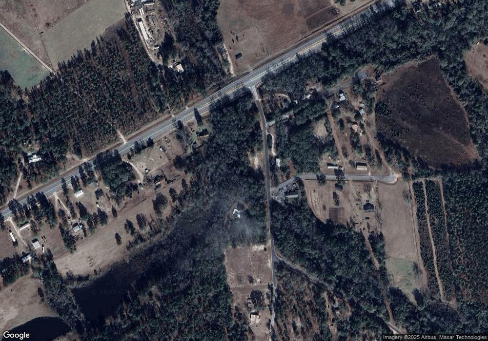
Map
Nearby Homes
- 160 Main Street Crosland
- 1396 Livingston Bridge Rd
- 000 Star Cir
- 000 U S Highway 319
- 173 Middlebrooks St
- 146 Lamar St
- 142 Lamar St
- 122 New St
- 1852 Doerun Norman Park Rd
- 1427 S Ty Omega Rd
- 0 Sleepy Bear Rd
- 0 Mark Orton Ln
- 0 Old Norman Park Rd
- 3332 Ellenton Norman Park Rd
- 210 Arrowhead Dr
- 209 Cherokee Dr
- 0 Murray McCranie Rd Unit 25079284
- 0 Murray McCranie Rd Unit 11586683
- 441 Cherokee Dr
- 273 Seminole Dr
- 293 Sandy Ridge Cemetery Rd
- 152 Zorn Rd
- 190 Sandy Ridge Cemetery Rd
- 300 Sandy Ridge Cemetery Rd
- 212 Zorn Rd
- 172 Mount Zion Church Rd
- 216 Zorn Rd
- 5858 Us Highway 319 N
- 240 Zorn Rd
- 233 Zorn Rd
- 250 Zorn Rd
- 155 Sandy Ridge Cemetery Rd
- 108 Brown McNeal Rd
- 5864 Us Highway 319 N
- 5790 Us Highway 319 N
- 5874 Us Highway 319 N
- 5780 Us Highway 319 N
- 5722 Us Highway 319 N
- 165 Mount Zion Church Rd
- 5873 Us Highway 319 N