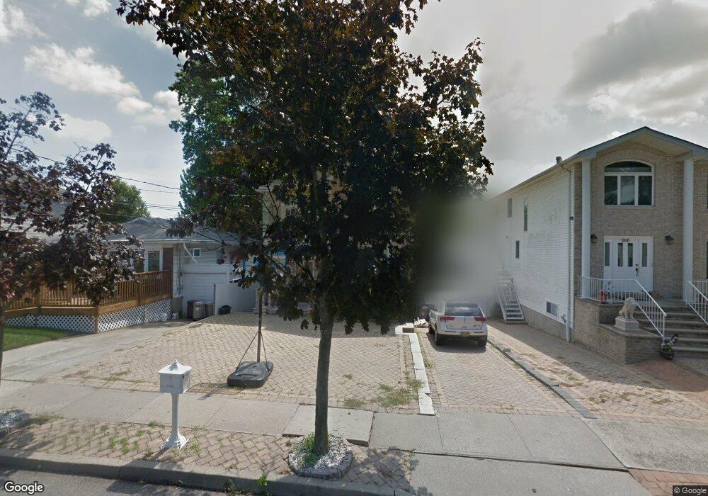
262 Stafford Ave Staten Island, NY 10312
Arden Heights NeighborhoodEstimated Value: $973,000 - $1,152,000
6
Beds
3
Baths
2,400
Sq Ft
$458/Sq Ft
Est. Value
About This Home
This home is located at 262 Stafford Ave, Staten Island, NY 10312 and is currently estimated at $1,098,004, approximately $457 per square foot. 262 Stafford Ave is a home located in Richmond County with nearby schools including P.S. 36 - J.C. Drumgoole, I.S. 075 Frank D. Paulo, and Tottenville High School.
Ownership History
Date
Name
Owned For
Owner Type
Purchase Details
Closed on
Mar 27, 2006
Sold by
Anastasio Lori
Bought by
Liga Jamie and Liga Donna
Current Estimated Value
Home Financials for this Owner
Home Financials are based on the most recent Mortgage that was taken out on this home.
Original Mortgage
$576,000
Outstanding Balance
$363,818
Interest Rate
6.32%
Mortgage Type
Fannie Mae Freddie Mac
Estimated Equity
$734,186
Purchase Details
Closed on
Sep 13, 2000
Sold by
Anastasio Lori
Bought by
Leader Ronald Scott and Leader Joanne
Create a Home Valuation Report for This Property
The Home Valuation Report is an in-depth analysis detailing your home's value as well as a comparison with similar homes in the area
Home Values in the Area
Average Home Value in this Area
Purchase History
| Date | Buyer | Sale Price | Title Company |
|---|---|---|---|
| Liga Jamie | $720,000 | Commonwealth Land Title Insu | |
| Leader Ronald Scott | -- | -- |
Source: Public Records
Mortgage History
| Date | Status | Borrower | Loan Amount |
|---|---|---|---|
| Open | Liga Jamie | $576,000 |
Source: Public Records
Tax History Compared to Growth
Tax History
| Year | Tax Paid | Tax Assessment Tax Assessment Total Assessment is a certain percentage of the fair market value that is determined by local assessors to be the total taxable value of land and additions on the property. | Land | Improvement |
|---|---|---|---|---|
| 2025 | $9,541 | $58,800 | $11,494 | $47,306 |
| 2024 | $9,553 | $54,060 | $12,158 | $41,902 |
| 2023 | $9,598 | $48,662 | $11,066 | $37,596 |
| 2022 | $8,878 | $53,580 | $13,440 | $40,140 |
| 2021 | $8,812 | $47,640 | $13,440 | $34,200 |
| 2020 | $8,574 | $50,520 | $13,440 | $37,080 |
| 2019 | $8,232 | $51,060 | $13,440 | $37,620 |
| 2018 | $7,969 | $40,552 | $10,674 | $29,878 |
| 2017 | $7,499 | $38,258 | $12,260 | $25,998 |
| 2016 | $6,906 | $36,094 | $11,890 | $24,204 |
| 2015 | $6,212 | $34,920 | $11,460 | $23,460 |
| 2014 | $6,212 | $33,960 | $11,460 | $22,500 |
Source: Public Records
Map
Nearby Homes
- 228 Sinclair Ave
- 308 Sheldon Ave
- 287 Rensselaer Ave
- 17 Holcomb Ave
- 242 Rathbun Ave
- 716 Woodrow Rd
- 191 Rensselaer Ave Unit 198
- 291 Rensselaer Ave
- 295 Rensselaer Ave
- 160 Rathbun Ave
- 525 Sinclair Ave
- 138 Rathbun Ave
- 473 Arden Ave
- 966 Drumgoole Rd W
- 452 Rensselaer Ave
- 610 Woodrow Rd
- 436 Vineland Ave
- 670 Arden Ave
- 416 Rathbun Ave
- 674 Arden Ave
- 266 Stafford Ave
- 258 Stafford Ave
- 270 Stafford Ave
- 254 Stafford Ave
- 207 Sinclair Ave
- 205 Sinclair Ave
- 215 Sinclair Ave
- 274 Stafford Ave
- 250 Stafford Ave
- 219 Sinclair Ave
- 203 Sinclair Ave
- 223 Sinclair Ave
- 199 Sinclair Ave
- 278 Stafford Ave
- 257 Stafford Ave
- 267 Stafford Ave
- 242 Stafford Ave
- 227 Sinclair Ave
- 195 Sinclair Ave
- 249 Stafford Ave