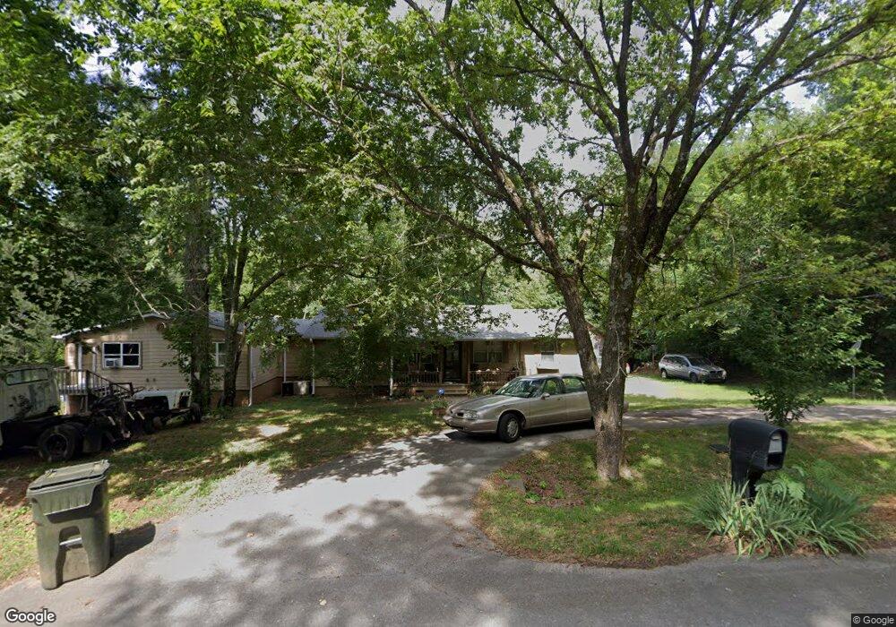
262 Townsend Dr SE Huntsville, AL 35811
Ryland NeighborhoodEstimated Value: $196,413 - $221,000
--
Bed
--
Bath
1,152
Sq Ft
$178/Sq Ft
Est. Value
About This Home
This home is located at 262 Townsend Dr SE, Huntsville, AL 35811 and is currently estimated at $205,603, approximately $178 per square foot. 262 Townsend Dr SE is a home with nearby schools including Central School and Madison County High School.
Ownership History
Date
Name
Owned For
Owner Type
Purchase Details
Closed on
Aug 29, 2008
Sold by
Townsend Venus M and Townsend Garry
Bought by
Brooks Walter L and Brooks Cynthia A
Current Estimated Value
Home Financials for this Owner
Home Financials are based on the most recent Mortgage that was taken out on this home.
Original Mortgage
$60,051
Outstanding Balance
$39,345
Interest Rate
6.21%
Mortgage Type
Purchase Money Mortgage
Estimated Equity
$166,258
Purchase Details
Closed on
Nov 7, 2006
Sold by
Brooks Walter Leon
Bought by
Brooks Walter Leon and Brooks Cynthia Ann
Create a Home Valuation Report for This Property
The Home Valuation Report is an in-depth analysis detailing your home's value as well as a comparison with similar homes in the area
Home Values in the Area
Average Home Value in this Area
Purchase History
| Date | Buyer | Sale Price | Title Company |
|---|---|---|---|
| Brooks Walter L | -- | -- | |
| Brooks Walter Leon | -- | -- |
Source: Public Records
Mortgage History
| Date | Status | Borrower | Loan Amount |
|---|---|---|---|
| Open | Brooks Walter L | $60,051 |
Source: Public Records
Tax History Compared to Growth
Tax History
| Year | Tax Paid | Tax Assessment Tax Assessment Total Assessment is a certain percentage of the fair market value that is determined by local assessors to be the total taxable value of land and additions on the property. | Land | Improvement |
|---|---|---|---|---|
| 2024 | $297 | $9,420 | $1,880 | $7,540 |
| 2023 | $290 | $9,220 | $1,880 | $7,340 |
| 2022 | $227 | $7,620 | $1,100 | $6,520 |
| 2021 | $201 | $6,920 | $1,100 | $5,820 |
| 2020 | $187 | $6,510 | $1,090 | $5,420 |
| 2019 | $179 | $6,310 | $1,090 | $5,220 |
| 2018 | $163 | $5,860 | $0 | $0 |
| 2017 | $163 | $5,860 | $0 | $0 |
| 2016 | $163 | $5,860 | $0 | $0 |
| 2015 | $163 | $5,860 | $0 | $0 |
| 2014 | $161 | $5,800 | $0 | $0 |
Source: Public Records
Map
Nearby Homes
- 3.8 Acres Townsend Dr SE
- 208 Townsend Dr SE
- 109 Bridgestone Dr NE
- 0 Old Gurley Rd NE Unit 24957018
- 217 Shadowbrook Ln NE
- 104 Early Morning Cir
- 1602 Calistoga Cir NE
- 1604 Calistoga Cir NE
- 1608 Calistoga Cir NE
- 1610 Calistoga Cir NE
- 218 Barkwood Dr NE
- 1612 Calistoga Cir NE
- 1613 Calistoga Cir NE
- 137 Bridgestone Dr NE
- 1617 Calistoga Cir NE
- 232 Shadowbrook Ln NE
- 143 Bridgestone Dr NE
- 510 Old Gurley Rd NE
- 2100 Kanteen St NE
- 2102 Kanteen St NE
- 286 Townsend Dr SE
- 291 Townsend Dr SE
- 106 Tumpkins Ln
- 112 Tumpkins Dr
- 258 Tumpkins Ln
- 272 Tumpkins Ln
- 214 Blackoak Dr NE
- 286 Tumpkins Ln
- 210 Townsend Dr SE
- 216 Blackoak Dr NE
- 216 Black Oak Dr NE
- 212 Black Oak Dr NE
- 135 Sanders Dr
- 139 Sanders Dr
- 137 Sanders Dr
- 320 Tumpkins Ln
- 302 Tumpkins Ln
- 141 Sanders Dr
- 131 Sanders Dr
- 215 Black Oak Dr NE