262 Waterside Dr Unit C16 Grover, MO 63040
Estimated Value: $267,000 - $293,000
3
Beds
2
Baths
1,622
Sq Ft
$174/Sq Ft
Est. Value
About This Home
This home is located at 262 Waterside Dr Unit C16, Grover, MO 63040 and is currently estimated at $282,780, approximately $174 per square foot. 262 Waterside Dr Unit C16 is a home located in St. Louis County with nearby schools including Fairway Elementary School, Wildwood Middle School, and Eureka Senior High School.
Ownership History
Date
Name
Owned For
Owner Type
Purchase Details
Closed on
Nov 27, 2024
Sold by
Hollis Michael L and Hollis Cheryl A
Bought by
Hollis Family Trust and Hollis
Current Estimated Value
Purchase Details
Closed on
Oct 10, 2024
Sold by
Robnett Meredith I
Bought by
Meredith Robnett Revocable Living Trust and Robnett
Purchase Details
Closed on
Jul 19, 2018
Sold by
Brezany Robert C
Bought by
Brezany Robert C and Brezany Kristie L
Purchase Details
Closed on
Dec 8, 2017
Sold by
Ray Carl E and Hollis Michael L
Bought by
Hollis Michael L and Hollis Cheryl L
Purchase Details
Closed on
May 16, 2005
Sold by
Sargent Michael R and Sargent Mary C
Bought by
Ray Carl E and Hollis Michael L
Home Financials for this Owner
Home Financials are based on the most recent Mortgage that was taken out on this home.
Original Mortgage
$246,050
Interest Rate
6.37%
Mortgage Type
Fannie Mae Freddie Mac
Create a Home Valuation Report for This Property
The Home Valuation Report is an in-depth analysis detailing your home's value as well as a comparison with similar homes in the area
Home Values in the Area
Average Home Value in this Area
Purchase History
| Date | Buyer | Sale Price | Title Company |
|---|---|---|---|
| Hollis Family Trust | -- | None Listed On Document | |
| Hollis Family Trust | -- | None Listed On Document | |
| Meredith Robnett Revocable Living Trust | -- | None Listed On Document | |
| Brezany Robert C | -- | None Available | |
| Hollis Michael L | -- | None Available | |
| Ray Carl E | $259,000 | -- |
Source: Public Records
Mortgage History
| Date | Status | Borrower | Loan Amount |
|---|---|---|---|
| Previous Owner | Ray Carl E | $246,050 |
Source: Public Records
Tax History
| Year | Tax Paid | Tax Assessment Tax Assessment Total Assessment is a certain percentage of the fair market value that is determined by local assessors to be the total taxable value of land and additions on the property. | Land | Improvement |
|---|---|---|---|---|
| 2025 | $3,077 | $44,830 | $13,570 | $31,260 |
| 2024 | $3,077 | $44,250 | $12,330 | $31,920 |
| 2023 | $3,074 | $44,250 | $12,330 | $31,920 |
| 2022 | $3,032 | $40,530 | $12,330 | $28,200 |
| 2021 | $3,009 | $40,530 | $12,330 | $28,200 |
| 2020 | $2,890 | $37,110 | $11,100 | $26,010 |
| 2019 | $2,902 | $37,110 | $11,100 | $26,010 |
| 2018 | $2,655 | $32,020 | $4,940 | $27,080 |
| 2017 | $2,592 | $32,020 | $4,940 | $27,080 |
| 2016 | $2,570 | $30,540 | $5,550 | $24,990 |
Source: Public Records
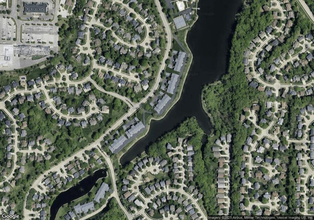
Map
Nearby Homes
- 326 Waterside Dr Unit E12
- 413 Lea Harbor Ct
- 16346 Copperwood Ln
- 2549 Westglen Farms Dr
- 2529 Westglen Farms Dr
- 724 Lakeshore Meadows Dr
- 16421 Hollister Crossing Dr
- 546 Nantucket Pointe Dr
- 2 Hermitage II at Regal Pines Enclave
- 720 Summer Oak Dr
- 2 Sequoia at Regal Pines Enclave
- 2 Pin Oak at Regal Pines Enclave
- 2 Maple Expanded at Regal Pines Enclave
- 16004 Cinderella Ct
- 2 Belmont at Regal Pines Meadows
- 16008 Cinderella Ct
- 2 Nottingham at Regal Pines Enclave
- 16042 Nantucket Island Dr
- 2 Meadows
- 16016 Cinderella Ct
- 258 Waterside Dr Unit C15
- 254 Waterside Dr Unit C14
- 252 Waterside Dr Unit C22
- 256 Waterside Dr
- 250 Waterside Dr
- 246 Waterside Dr
- 248 Waterside Dr Unit C21
- 244 Waterside Dr
- 302 Waterside Dr
- 240 Waterside Dr Unit B16
- 304 Waterside Dr Unit D12
- 236 Waterside Dr Unit B15
- 308 Waterside Dr
- 238 Waterside Dr
- 310 Waterside Dr Unit D22
- 234 Waterside Dr
- 127 Watercrest Ct
- 123 Watercrest Ct
- 232 Waterside Dr Unit B14
- 222 Waterside Dr Unit B11
Your Personal Tour Guide
Ask me questions while you tour the home.