2620 48th St N Wisconsin Rapids, WI 54494
Estimated Value: $525,000 - $953,000
5
Beds
--
Bath
4,678
Sq Ft
$157/Sq Ft
Est. Value
About This Home
This home is located at 2620 48th St N, Wisconsin Rapids, WI 54494 and is currently estimated at $735,755, approximately $157 per square foot. 2620 48th St N is a home located in Wood County with nearby schools including Washington Elementary School, East Junior High School, and Wisconsin Rapids Area Middle School.
Ownership History
Date
Name
Owned For
Owner Type
Purchase Details
Closed on
Oct 8, 2024
Sold by
Oswall Robert C
Bought by
Robert C Oswall Revocable Living Trust
Current Estimated Value
Purchase Details
Closed on
Sep 25, 2008
Sold by
Kania Christopher M and Kania Anna C
Bought by
Oswall Robert C and Tell Marjorie J
Home Financials for this Owner
Home Financials are based on the most recent Mortgage that was taken out on this home.
Original Mortgage
$337,410
Interest Rate
6.43%
Mortgage Type
New Conventional
Create a Home Valuation Report for This Property
The Home Valuation Report is an in-depth analysis detailing your home's value as well as a comparison with similar homes in the area
Home Values in the Area
Average Home Value in this Area
Purchase History
| Date | Buyer | Sale Price | Title Company |
|---|---|---|---|
| Robert C Oswall Revocable Living Trust | $626,900 | Michele Sweet - Buska Retireme | |
| Oswall Robert C | $374,900 | Vanguard Title Llc |
Source: Public Records
Mortgage History
| Date | Status | Borrower | Loan Amount |
|---|---|---|---|
| Previous Owner | Oswall Robert C | $337,410 |
Source: Public Records
Tax History Compared to Growth
Tax History
| Year | Tax Paid | Tax Assessment Tax Assessment Total Assessment is a certain percentage of the fair market value that is determined by local assessors to be the total taxable value of land and additions on the property. | Land | Improvement |
|---|---|---|---|---|
| 2024 | $7,968 | $453,700 | $39,500 | $414,200 |
| 2023 | $7,903 | $453,700 | $39,500 | $414,200 |
| 2022 | $7,794 | $453,700 | $39,500 | $414,200 |
| 2021 | $7,630 | $453,700 | $39,500 | $414,200 |
| 2020 | $7,585 | $453,700 | $39,500 | $414,200 |
| 2019 | $7,744 | $395,800 | $31,000 | $364,800 |
| 2018 | $7,669 | $395,800 | $31,000 | $364,800 |
| 2017 | $7,387 | $395,800 | $31,000 | $364,800 |
| 2016 | $7,263 | $395,800 | $31,000 | $364,800 |
| 2015 | $6,973 | $394,600 | $31,000 | $363,600 |
Source: Public Records
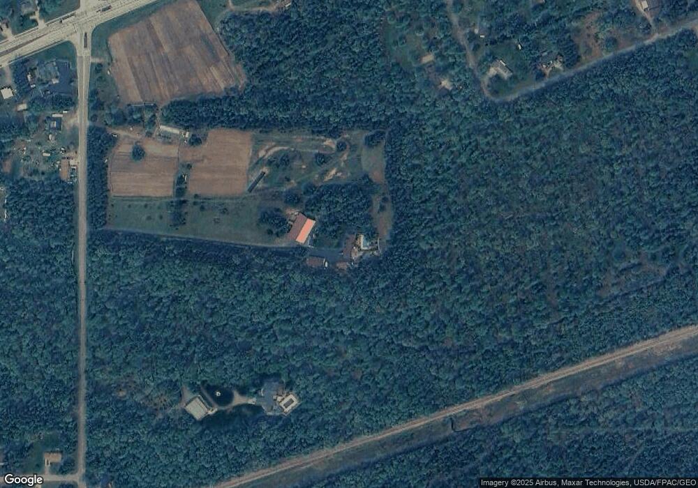
Map
Nearby Homes
- Lot 1 CSM 10739 Plover Rd
- 5231 Moll Rd
- .69 Acres mol Plover Rd
- 2492 N Biron Dr Unit Lot 44
- 971 Williams St
- 522 S Biron Dr
- 7630 Plover Rd
- 2011 26th St N
- Lot 3 80th St N
- Lot 4 80th St N
- Lot 2 80th St N
- Lot 1 80th St N
- lot 3 23rd St N
- lot 2 23rd St N
- 1005 Huffman Rd Unit Lot 48
- 1019 Huffman Rd Unit Lot 47
- 1048 Red Hawk Ct Unit Lot 51
- 1080 Red Hawk Ct Unit Lot 50
- 2815 Plover Rd
- 1106 Red Hawk Ct Unit Lot 49
- 0 Moll Rd
- 2430 48th St N
- 2821 52nd St N
- 1.1478 acres Moll Rd
- 2820 52nd St N
- 2910 52nd St N
- 5221 Moll Rd
- 2731 48th St N
- 3140 52nd St N
- Lot 1 CSM 10739 Plover Rd Unit Parcel 0700033A
- 0 Plover Rd
- 5240 Brenda Ln
- 2310 48th St N
- 5221 Brenda Ln
- 5210 Plover Rd
- 4911 Plover Rd
- 2831 48th St N
- 4721 Log Home Ln
- 5310 Brenda Ln
- 5310 Brenda Ln