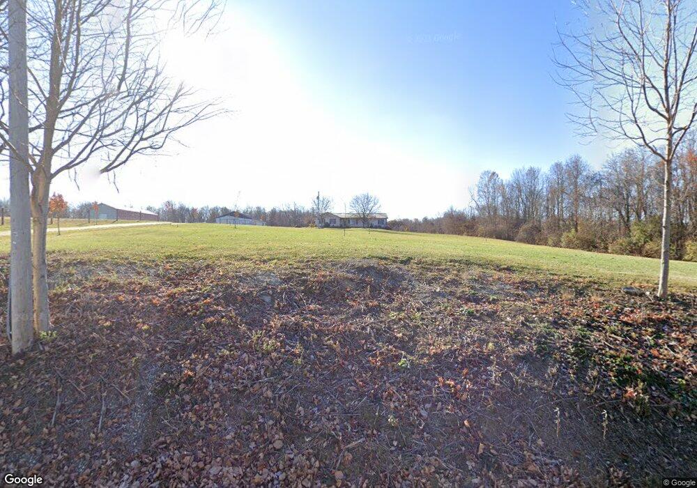
2620 Crider Rd Mansfield, OH 44903
Estimated Value: $350,000 - $474,000
3
Beds
3
Baths
1,760
Sq Ft
$233/Sq Ft
Est. Value
About This Home
This home is located at 2620 Crider Rd, Mansfield, OH 44903 and is currently estimated at $409,629, approximately $232 per square foot. 2620 Crider Rd is a home located in Richland County with nearby schools including Madison High School, St. Mary Catholic School, and Temple-Christian School.
Ownership History
Date
Name
Owned For
Owner Type
Purchase Details
Closed on
Jul 7, 2017
Sold by
Sauder Larry Lee and Sauder Linda Sue
Bought by
Kratzer James E and Kratzer Eva A
Current Estimated Value
Purchase Details
Closed on
Apr 7, 2011
Sold by
Sauder Lawrence L
Bought by
Sauder Larry Lee and Sauder Linda Sue
Purchase Details
Closed on
Jun 23, 1992
Sold by
Liebhart Robert E
Bought by
Liebhart Robert E
Purchase Details
Closed on
Jan 14, 1992
Sold by
Liebhart Robert E
Bought by
Liebhart Robert E
Purchase Details
Closed on
Apr 1, 1985
Create a Home Valuation Report for This Property
The Home Valuation Report is an in-depth analysis detailing your home's value as well as a comparison with similar homes in the area
Home Values in the Area
Average Home Value in this Area
Purchase History
| Date | Buyer | Sale Price | Title Company |
|---|---|---|---|
| Kratzer James E | $260,700 | Chicago Title | |
| Sauder Larry Lee | -- | None Available | |
| Liebhart Robert E | -- | -- | |
| Liebhart Robert E | -- | -- | |
| -- | $15,000 | -- |
Source: Public Records
Tax History Compared to Growth
Tax History
| Year | Tax Paid | Tax Assessment Tax Assessment Total Assessment is a certain percentage of the fair market value that is determined by local assessors to be the total taxable value of land and additions on the property. | Land | Improvement |
|---|---|---|---|---|
| 2024 | $5,597 | $110,200 | $33,880 | $76,320 |
| 2023 | $5,597 | $110,200 | $33,880 | $76,320 |
| 2022 | $4,043 | $73,360 | $19,160 | $54,200 |
| 2021 | $4,041 | $73,360 | $19,160 | $54,200 |
| 2020 | $4,073 | $73,360 | $19,160 | $54,200 |
| 2019 | $3,701 | $62,220 | $16,100 | $46,120 |
| 2018 | $3,670 | $62,220 | $16,100 | $46,120 |
| 2017 | $3,063 | $62,220 | $16,100 | $46,120 |
| 2016 | $3,028 | $59,870 | $12,170 | $47,700 |
| 2015 | $3,028 | $59,870 | $12,170 | $47,700 |
| 2014 | $2,969 | $59,870 | $12,170 | $47,700 |
| 2012 | $2,887 | $63,020 | $12,810 | $50,210 |
Source: Public Records
Map
Nearby Homes
- 2270 Lakecrest Dr Unit 2272
- 0 Satinwood Dr
- 630 Impala Dr
- 598 Impala Dr
- 1997 Hout Rd
- 1910 Crider Rd
- 1951 Woodmont Rd
- 640 Running Brook Way
- 1806 Richard Dr
- 2750 Lutz Ave
- 2202 Lakewood Dr
- 0 McBride Road Parcel # 1 Unit 9066028
- 609 Mcbride Rd
- 903 Mayflower Ave
- 0 Peterson Rd
- 1106 Keller Dr Unit 1108
- 1767 State Route 603
- 2307 Peterson Rd
- 1628 Park Ave E
- 76 Ford Rd N