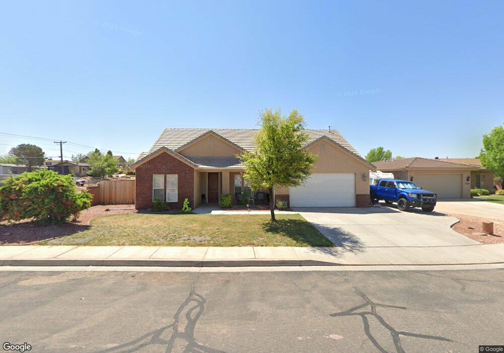
2620 E 10 North Cir Saint George, UT 84790
Estimated Value: $481,836 - $512,000
3
Beds
2
Baths
1,768
Sq Ft
$280/Sq Ft
Est. Value
About This Home
This home is located at 2620 E 10 North Cir, Saint George, UT 84790 and is currently estimated at $494,209, approximately $279 per square foot. 2620 E 10 North Cir is a home located in Washington County with nearby schools including Panorama School, Pine View Middle School, and Fossil Ridge Intermediate School.
Ownership History
Date
Name
Owned For
Owner Type
Purchase Details
Closed on
May 17, 2019
Sold by
Backman David E
Bought by
Roberts Travis
Current Estimated Value
Home Financials for this Owner
Home Financials are based on the most recent Mortgage that was taken out on this home.
Original Mortgage
$309,294
Outstanding Balance
$274,190
Interest Rate
4.62%
Mortgage Type
FHA
Estimated Equity
$220,019
Create a Home Valuation Report for This Property
The Home Valuation Report is an in-depth analysis detailing your home's value as well as a comparison with similar homes in the area
Home Values in the Area
Average Home Value in this Area
Purchase History
| Date | Buyer | Sale Price | Title Company |
|---|---|---|---|
| Roberts Travis | -- | Eagle Gate Ttl Ins Agcy Inc |
Source: Public Records
Mortgage History
| Date | Status | Borrower | Loan Amount |
|---|---|---|---|
| Open | Roberts Travis | $309,294 |
Source: Public Records
Tax History Compared to Growth
Tax History
| Year | Tax Paid | Tax Assessment Tax Assessment Total Assessment is a certain percentage of the fair market value that is determined by local assessors to be the total taxable value of land and additions on the property. | Land | Improvement |
|---|---|---|---|---|
| 2025 | $1,677 | $255,970 | $74,250 | $181,720 |
| 2023 | $1,754 | $262,130 | $52,250 | $209,880 |
| 2022 | $1,898 | $266,750 | $52,250 | $214,500 |
| 2021 | $1,610 | $337,400 | $80,000 | $257,400 |
| 2020 | $1,474 | $290,900 | $75,000 | $215,900 |
| 2019 | $1,411 | $272,100 | $60,000 | $212,100 |
| 2018 | $1,355 | $134,915 | $0 | $0 |
| 2017 | $1,304 | $126,005 | $0 | $0 |
| 2016 | $1,360 | $121,550 | $0 | $0 |
| 2015 | $1,274 | $109,285 | $0 | $0 |
| 2014 | $1,199 | $103,510 | $0 | $0 |
Source: Public Records
Map
Nearby Homes
- 2541 E 90 S
- 2911 E Snowberry Dr Unit 56
- 2911 E Snowberry Dr
- 3 2450 St E Unit 3
- 2721 E Riverside Dr
- 2752 E 50 St S
- 240 N Sunflower Dr
- 240 N Sunflower Dr Unit 42
- 345 N 2450 E Unit 120
- 64 N Lee Ln
- 320 N Sunflower Dr Unit 10
- 345 N 2450 E Unit 239
- 345 N 2450 E Unit 120
- 2990 E Riverside Dr Unit 26
- 2990 E Riverside Dr Unit 117
- 2990 E Riverside Dr Unit 173
- 2990 E Riverside Dr Unit 166
- 2990 E Riverside Dr Unit 3
- 2990 E Riverside Dr Unit 157
- 2990 E Riverside Dr
- 2620 E 10 Cir N
- 2588 E 10 North Cir
- 2619 E 10 North Cir
- 4 N 2650 E
- 2574 E 10 North Cir
- 2571 E 10 North Cir
- 2574 E 10 Cir N
- 2668 E 10 Cir N
- 2668 E 10 North Cir
- 12 N 2650 E
- 2661 E 50 S
- 2552 E 10 North Cir
- 2593 E 50 S
- 2593 E 50 S Unit Lot 174
- 2549 E 10 North Cir
- 32 N 2590 E
- 25 N 2590 E
- 2549 E 10 Cir N
- 2552 E 10 Cir N
- 2667 E 10 North Cir