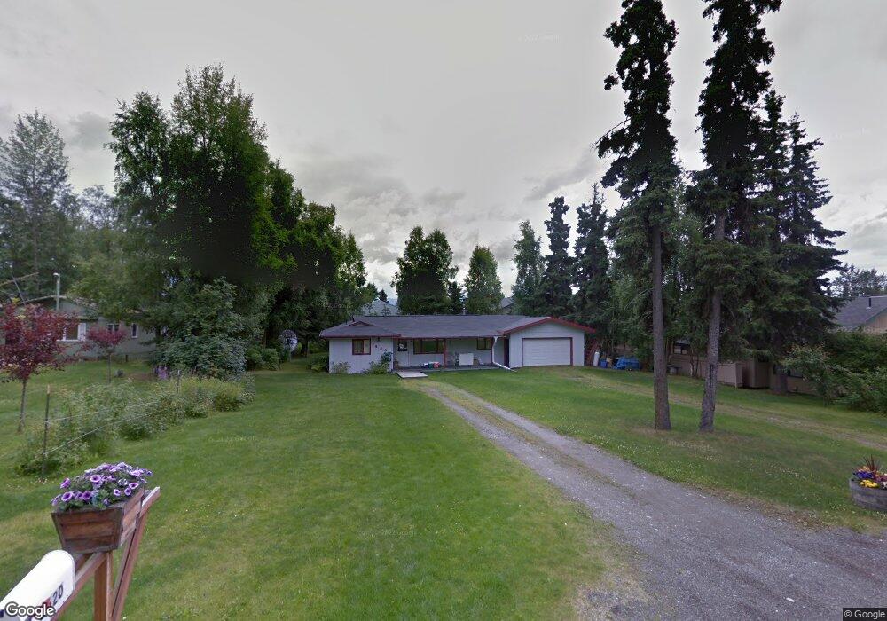
2620 E 112th Ave Anchorage, AK 99516
Huffman-O'Malley NeighborhoodEstimated Value: $241,000 - $442,084
3
Beds
1
Bath
1,024
Sq Ft
$345/Sq Ft
Est. Value
About This Home
This home is located at 2620 E 112th Ave, Anchorage, AK 99516 and is currently estimated at $353,028, approximately $344 per square foot. 2620 E 112th Ave is a home located in Anchorage Municipality with nearby schools including Spring Hill Elementary School, Hanshew Middle School, and Service High School.
Ownership History
Date
Name
Owned For
Owner Type
Purchase Details
Closed on
Jul 19, 2019
Sold by
Berge Allen L and Berge Jamie L
Bought by
Neill Meredith O and Macko Brian
Current Estimated Value
Home Financials for this Owner
Home Financials are based on the most recent Mortgage that was taken out on this home.
Original Mortgage
$187,500
Outstanding Balance
$163,205
Interest Rate
3.82%
Mortgage Type
New Conventional
Estimated Equity
$189,823
Create a Home Valuation Report for This Property
The Home Valuation Report is an in-depth analysis detailing your home's value as well as a comparison with similar homes in the area
Home Values in the Area
Average Home Value in this Area
Purchase History
| Date | Buyer | Sale Price | Title Company |
|---|---|---|---|
| Neill Meredith O | -- | None Available |
Source: Public Records
Mortgage History
| Date | Status | Borrower | Loan Amount |
|---|---|---|---|
| Open | Neill Meredith O | $187,500 |
Source: Public Records
Tax History
| Year | Tax Paid | Tax Assessment Tax Assessment Total Assessment is a certain percentage of the fair market value that is determined by local assessors to be the total taxable value of land and additions on the property. | Land | Improvement |
|---|---|---|---|---|
| 2025 | $5,859 | $396,100 | $146,700 | $249,400 |
| 2024 | $5,859 | $362,900 | $146,700 | $216,200 |
| 2023 | $5,797 | $340,400 | $146,700 | $193,700 |
| 2022 | $5,616 | $333,500 | $146,700 | $186,800 |
| 2021 | $5,826 | $323,300 | $146,700 | $176,600 |
| 2020 | $5,413 | $318,400 | $146,700 | $171,700 |
| 2019 | $5,165 | $315,700 | $146,700 | $169,000 |
| 2018 | $1,530 | $293,300 | $139,400 | $153,900 |
| 2017 | $4,355 | $298,100 | $139,400 | $158,700 |
| 2016 | $3,950 | $310,300 | $146,700 | $163,600 |
| 2015 | $3,950 | $305,900 | $146,700 | $159,200 |
| 2014 | $3,950 | $283,300 | $120,700 | $162,600 |
Source: Public Records
Map
Nearby Homes
- 11205 Willene Dr
- NHN Red Sky Cir
- 11135 Red Sky Cir
- 10996 Sky Ridge Dr
- 11335 Tulin Park Loop
- 11254 Tulin Park Loop
- 11501 Hawkins Ln
- 1962 Commodore Dr
- 1935 Commodore Dr
- 12201 Woodchase Cir
- 8000 Independence Park Dr
- 3641 E Klatt Rd
- 12241 Woodchase Cir
- 12314 Timberwood Cir
- 11418 Moonrise Ridge Place Unit 19
- 1900-1941 Marthas Vineyard Cir
- 3025 Huffman Rd
- 1956 Sonoma Crest Cir
- 2048 Meander Dr
- 9751 Newhaven Loop
- 2640 E 112th Ave
- 2600 E 112th Ave
- 11251 Lake Otis Pkwy
- 2605 Jeff Cir
- 2641 Jeff Cir
- 2635 E 112th Ave
- 11422 Tulin Park Loop
- 11200 Lake Otis Pkwy
- 2640 Jeff Cir
- 11416 Tulin Park Loop
- 2701 E 112th Ave
- 11428 Tulin Park Loop
- 2600 Jeff Cir
- 11410 Tulin Park Loop
- 11434 Tulin Park Loop
- 11404 Tulin Park Loop
- 11051 Lake Otis Pkwy
- 11210 Willene Dr
- 11440 Tulin Park Loop
- 11121 Polar Dr
Your Personal Tour Guide
Ask me questions while you tour the home.