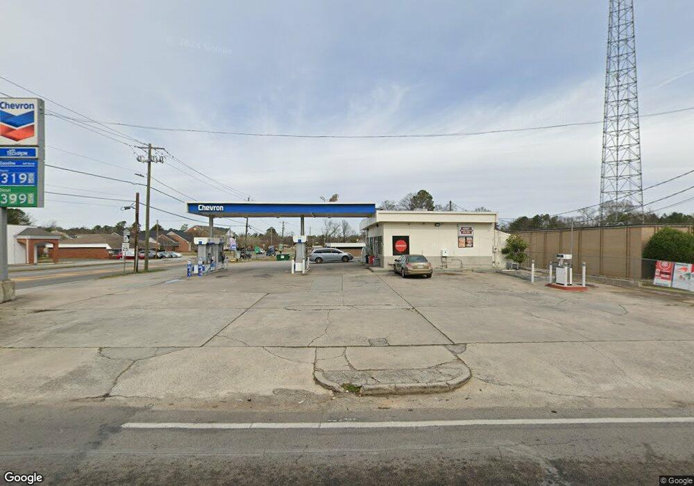
2620 Ginger Hill Estates Rd Thomson, GA 30824
Estimated Value: $332,000 - $370,000
3
Beds
2
Baths
2,270
Sq Ft
$154/Sq Ft
Est. Value
About This Home
This home is located at 2620 Ginger Hill Estates Rd, Thomson, GA 30824 and is currently estimated at $348,816, approximately $153 per square foot. 2620 Ginger Hill Estates Rd is a home located in McDuffie County with nearby schools including Thomson High School.
Ownership History
Date
Name
Owned For
Owner Type
Purchase Details
Closed on
Nov 9, 2001
Sold by
Mekara Michael T
Bought by
Crockett Kenneth L
Current Estimated Value
Purchase Details
Closed on
Apr 18, 1996
Sold by
Hillman Eugene G "Gene"
Bought by
Mekara Michael T
Purchase Details
Closed on
Aug 31, 1993
Bought by
Hillman Eugene G "Gene"
Create a Home Valuation Report for This Property
The Home Valuation Report is an in-depth analysis detailing your home's value as well as a comparison with similar homes in the area
Home Values in the Area
Average Home Value in this Area
Purchase History
| Date | Buyer | Sale Price | Title Company |
|---|---|---|---|
| Crockett Kenneth L | $162,000 | -- | |
| Mekara Michael T | $86,800 | -- | |
| Hillman Eugene G "Gene" | $84,900 | -- |
Source: Public Records
Tax History Compared to Growth
Tax History
| Year | Tax Paid | Tax Assessment Tax Assessment Total Assessment is a certain percentage of the fair market value that is determined by local assessors to be the total taxable value of land and additions on the property. | Land | Improvement |
|---|---|---|---|---|
| 2024 | $2,830 | $120,282 | $10,080 | $110,202 |
| 2023 | $2,830 | $115,214 | $9,600 | $105,614 |
| 2022 | $2,103 | $81,649 | $9,600 | $72,049 |
| 2021 | $1,889 | $72,476 | $16,320 | $56,156 |
| 2020 | $1,780 | $67,150 | $9,600 | $57,550 |
| 2019 | $1,799 | $67,150 | $9,600 | $57,550 |
| 2018 | $1,722 | $64,458 | $9,600 | $54,858 |
| 2017 | $1,662 | $64,458 | $9,600 | $54,858 |
| 2016 | $1,662 | $64,458 | $9,600 | $54,858 |
| 2015 | $1,514 | $64,458 | $9,600 | $54,858 |
| 2014 | $1,517 | $64,458 | $9,600 | $54,858 |
| 2013 | -- | $64,458 | $9,600 | $54,858 |
Source: Public Records
Map
Nearby Homes
- 1357 Elias Station
- 1371 Elias Station
- 1307 Elias Station
- 1399 Elias Station
- 1405 Elias Station
- 1302 Elias Station
- 1290 Elias Station
- 1282 Elias Station
- 1379 Elias Station
- 1411 Elias Station
- 2296 Williams Rd
- 563 Lakewood Dr
- O Meadowood Dr
- 0 Meadowood Dr
- 2592 White Oak Rd
- 219 Devonshire Dr
- 122 Willow Oak Cir
- 338 Devonshire Dr
- 123 Willow Oak Cir
- 146 Willow Oak Cir
- 2596 Ginger Hill Estates Rd
- 2636 Ginger Hill Estates Rd
- 2630 Ginger Hill Estates Rd
- 2613 Gingerhill Estates Rd
- 2576 Ginger Hill Estates Rd
- 2613 Ginger Hill Estates Rd
- 2532 Ginger Branch Rd
- 2597 Ginger Hill Estates Rd
- 2639 Ginger Hill Estates Rd
- 2577 Ginger Hill Estates Rd
- 2557 Ginger Hill Estates Rd
- 2550 Ginger Branch Rd
- 2697 Ginger Hill Estates Rd
- 2688 Ginger Hill Estates Rd
- 2613 Mcleroy Dr
- 2566 Ginger Branch Rd
- 2525 Ginger Hill Estates Rd
- 787 Ginger Hill Rd
- 2571 Mcleroy Dr
- 2567 Ginger Branch Rd
