2620 N Nugent Rd Lummi Island, WA 98262
Estimated Value: $955,000 - $1,685,636
2
Beds
2
Baths
1,979
Sq Ft
$695/Sq Ft
Est. Value
About This Home
This home is located at 2620 N Nugent Rd, Lummi Island, WA 98262 and is currently estimated at $1,375,659, approximately $695 per square foot. 2620 N Nugent Rd is a home located in Whatcom County with nearby schools including Beach Elementary School, Vista Middle School, and Ferndale High School.
Ownership History
Date
Name
Owned For
Owner Type
Purchase Details
Closed on
Mar 9, 2016
Sold by
Smith Robert B
Bought by
The Smith Living Trust and Smith Linda R
Current Estimated Value
Purchase Details
Closed on
Mar 8, 2008
Sold by
Smith Richard N and Smith Mayumi N
Bought by
Smith Randolph M and Smith Linda R
Purchase Details
Closed on
Oct 10, 2003
Sold by
Smith Randolph M and Smith Linda R
Bought by
Smith Randolph M and Smith Linda R
Purchase Details
Closed on
Apr 4, 2002
Sold by
Smith Mary M
Bought by
Smith Randolph M and Smith Linda R
Purchase Details
Closed on
Dec 5, 2001
Sold by
Eschbach Daniel L and Eschbach Barbara L
Bought by
Smith Richard N and Smith Randolph M
Create a Home Valuation Report for This Property
The Home Valuation Report is an in-depth analysis detailing your home's value as well as a comparison with similar homes in the area
Home Values in the Area
Average Home Value in this Area
Purchase History
| Date | Buyer | Sale Price | Title Company |
|---|---|---|---|
| The Smith Living Trust | $121,778 | None Available | |
| Smith Randolph M | $361,392 | Stewart Title Of Snohomish C | |
| Smith Randolph M | -- | -- | |
| Smith Randolph M | -- | Whatcom Land Title | |
| Smith Richard N | -- | Whatcom Land Title |
Source: Public Records
Tax History Compared to Growth
Tax History
| Year | Tax Paid | Tax Assessment Tax Assessment Total Assessment is a certain percentage of the fair market value that is determined by local assessors to be the total taxable value of land and additions on the property. | Land | Improvement |
|---|---|---|---|---|
| 2024 | $12,666 | $1,562,898 | $770,964 | $791,934 |
| 2023 | $12,666 | $1,680,506 | $828,979 | $851,527 |
| 2022 | $9,665 | $1,127,873 | $556,370 | $571,503 |
| 2021 | $8,584 | $980,759 | $483,800 | $496,959 |
| 2020 | $9,445 | $831,152 | $410,000 | $421,152 |
| 2019 | $8,104 | $831,152 | $410,000 | $421,152 |
| 2018 | $10,574 | $823,726 | $420,670 | $403,056 |
| 2017 | $8,654 | $823,726 | $420,670 | $403,056 |
| 2016 | $8,519 | $708,392 | $361,770 | $346,622 |
| 2015 | $8,389 | $689,131 | $352,470 | $336,661 |
| 2014 | -- | $670,948 | $343,170 | $327,778 |
| 2013 | -- | $606,096 | $310,000 | $296,096 |
Source: Public Records
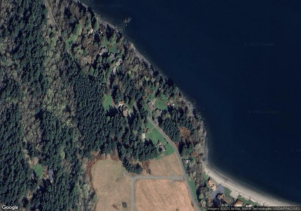
Map
Nearby Homes
- 2879 N Nugent Rd Unit H8
- 2877 N Nugent Rd Unit M4
- 2533 Island View Ln
- 2591 Taft Dr
- 4065 Sunny Hill Ln
- 2579 W Shore Dr
- 0 Taft Dr
- 2589 Lummi View Dr
- 2383 W Shore Dr
- 2395 W Shore Dr
- 2625 Lummi View Dr
- 3456 Emma Rd
- 3440 Emma Rd
- 2579 Finkbonner Rd
- 2560 Lummi View Dr
- 2093 Granger Way
- 2552 Lummi View Dr
- 3965 Legoe Bay Rd
- 3003 Haxton Way
- 16 xx S Nugent Rd
- 3940 Blizard Rd
- 2629 N Nugent Rd
- 2597 N Nugent Rd
- 2648 N Nugent Rd
- 2650 N Nugent Rd
- 2654 N Nugent Rd
- 3912 Midden Ln
- 0 L3 N Nugent Rd
- 0 L4 N Nugent Rd
- 2685 N Nugent Rd
- 3909 Midden Ln
- 2562 N Nugent Rd
- 3919 Midden Ln
- 2590 MacEdith Ln
- 3923 Midden Ln
- 3896 Lane Spit Dr
- 3898 Lane Spit Dr
- 3880 Lane Spit Dr
- 2540 MacEdith Ln
- 3881 Lane Spit Dr