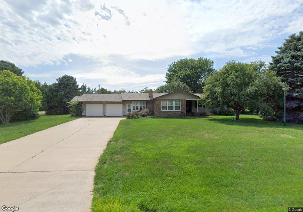
2620 S Deer Trail Hastings, NE 68901
Estimated Value: $333,000 - $394,000
3
Beds
2
Baths
1,811
Sq Ft
$201/Sq Ft
Est. Value
About This Home
This home is located at 2620 S Deer Trail, Hastings, NE 68901 and is currently estimated at $364,065, approximately $201 per square foot. 2620 S Deer Trail is a home located in Adams County with nearby schools including Adams Central Elementary School, Wallace School, and Adams Central Early Childhood Center.
Ownership History
Date
Name
Owned For
Owner Type
Purchase Details
Closed on
Mar 1, 2023
Sold by
Paulson Kandas
Bought by
Reinhard Joshua M and Struebing Emily A
Current Estimated Value
Home Financials for this Owner
Home Financials are based on the most recent Mortgage that was taken out on this home.
Original Mortgage
$250,000
Outstanding Balance
$242,151
Interest Rate
6.13%
Mortgage Type
New Conventional
Estimated Equity
$121,914
Create a Home Valuation Report for This Property
The Home Valuation Report is an in-depth analysis detailing your home's value as well as a comparison with similar homes in the area
Home Values in the Area
Average Home Value in this Area
Purchase History
| Date | Buyer | Sale Price | Title Company |
|---|---|---|---|
| Reinhard Joshua M | $315,000 | Prairie Title |
Source: Public Records
Mortgage History
| Date | Status | Borrower | Loan Amount |
|---|---|---|---|
| Open | Reinhard Joshua M | $250,000 |
Source: Public Records
Tax History Compared to Growth
Tax History
| Year | Tax Paid | Tax Assessment Tax Assessment Total Assessment is a certain percentage of the fair market value that is determined by local assessors to be the total taxable value of land and additions on the property. | Land | Improvement |
|---|---|---|---|---|
| 2024 | $3,392 | $293,843 | $48,125 | $245,718 |
| 2023 | $3,956 | $256,010 | $48,125 | $207,885 |
| 2022 | $4,508 | $270,639 | $48,125 | $222,514 |
| 2021 | $3,928 | $247,604 | $39,647 | $207,957 |
| 2020 | $3,715 | $237,701 | $39,647 | $198,054 |
| 2019 | $3,532 | $231,932 | $39,647 | $192,285 |
| 2018 | $3,355 | $217,940 | $25,655 | $192,285 |
| 2017 | $3,321 | $217,940 | $0 | $0 |
| 2016 | $2,870 | $194,325 | $25,655 | $168,670 |
| 2010 | $3,144 | $173,370 | $23,240 | $150,130 |
Source: Public Records
Map
Nearby Homes
- 3100 S Southern Hills Dr
- 502 S Woodland Ave
- 401 Sunset Dr
- 416 Queen City Ave
- 909 Brentwood Ave
- 2616 W 6th St
- 6014 W 13th St
- 1142 W H St
- 1140 Renae Ln
- 1918 W 3rd St
- 2707 W 9th St
- 2521 Boyce St
- 527 S Boston Ave
- 2301 Bateman Ave
- 2200 W 7th St
- 745 S Franklin Ave
- 2229 W 8th St
- 711 Crane Ave
- 2416 W 9th St
- 736 N Barnes Ave
- 2590 S Deer Trail
- 2615 S Deer Trail
- 2690 S Deer Trail
- 2575 S Deer Trail
- 2555 S Meadow Ln
- 2675 S Deer Trail
- 2705 S Deer Trail
- 2585 S Meadow Ln
- 5450 W Idlewilde Dr
- 5270 W Olive Knolls
- 2545 S Deer Trail
- 5365 W Idlewilde Dr
- 2625 S Meadow Ln
- 5405 W Idlewilde Dr
- 5245 W Olive Knolls
- 5250 W Olive Knolls
- 5320 W Idlewilde Dr
- 2510 S Deer Trail
- 5325 W Idlewilde Dr
- 2505 S Deer Trail