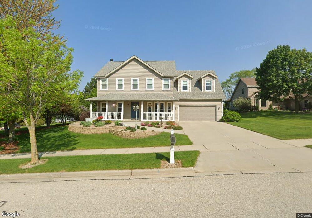
2620 Upper Forest Ln West Bend, WI 53090
Estimated Value: $460,381 - $596,000
4
Beds
4
Baths
2,872
Sq Ft
$182/Sq Ft
Est. Value
About This Home
This home is located at 2620 Upper Forest Ln, West Bend, WI 53090 and is currently estimated at $521,595, approximately $181 per square foot. 2620 Upper Forest Ln is a home located in Washington County with nearby schools including Green Tree Elementary School, Silverbrook Intermediate School, and East High School.
Ownership History
Date
Name
Owned For
Owner Type
Purchase Details
Closed on
Aug 29, 2008
Sold by
Jacque Emma J and York Emma J
Bought by
Lessner Todd and Lessner Jodi
Current Estimated Value
Home Financials for this Owner
Home Financials are based on the most recent Mortgage that was taken out on this home.
Original Mortgage
$207,400
Outstanding Balance
$135,232
Interest Rate
6.54%
Mortgage Type
New Conventional
Estimated Equity
$386,363
Create a Home Valuation Report for This Property
The Home Valuation Report is an in-depth analysis detailing your home's value as well as a comparison with similar homes in the area
Home Values in the Area
Average Home Value in this Area
Purchase History
| Date | Buyer | Sale Price | Title Company |
|---|---|---|---|
| Lessner Todd | $284,400 | Priority Title Corporation |
Source: Public Records
Mortgage History
| Date | Status | Borrower | Loan Amount |
|---|---|---|---|
| Open | Lessner Todd | $207,400 |
Source: Public Records
Tax History
| Year | Tax Paid | Tax Assessment Tax Assessment Total Assessment is a certain percentage of the fair market value that is determined by local assessors to be the total taxable value of land and additions on the property. | Land | Improvement |
|---|---|---|---|---|
| 2025 | $5,477 | $302,500 | $55,600 | $246,900 |
| 2024 | $5,145 | $394,700 | $62,100 | $332,600 |
| 2023 | $4,582 | $302,500 | $55,600 | $246,900 |
| 2022 | $5,356 | $302,500 | $55,600 | $246,900 |
| 2021 | $5,505 | $302,500 | $55,600 | $246,900 |
| 2020 | $5,396 | $302,500 | $55,600 | $246,900 |
| 2019 | $5,227 | $302,500 | $55,600 | $246,900 |
| 2018 | $5,069 | $302,500 | $55,600 | $246,900 |
| 2017 | $4,876 | $261,500 | $55,600 | $205,900 |
| 2016 | $4,910 | $261,500 | $55,600 | $205,900 |
| 2015 | $4,983 | $261,500 | $55,600 | $205,900 |
| 2014 | $4,983 | $261,500 | $55,600 | $205,900 |
| 2013 | $5,385 | $261,500 | $55,600 | $205,900 |
Source: Public Records
Map
Nearby Homes
- 1423 Lower Forest Ct
- 715 Canterberry Ct Unit 312
- 715 Canterberry Ct Unit 105
- Lt1 Beaver Dam Rd
- 2346 W Washington St
- 4000 W Washington St
- Lt1 Dandelion Ln
- 622 Shepherds Dr Unit 3
- 1511 Roosevelt Dr S
- 1521 Quietwood Ln Unit 1A
- 1130 Green Tree Rd
- 1318 Jefferson St
- 1600 Patricia Dr
- 151 N University Dr Unit 215
- 125 N University Dr Unit 108
- 1203 N 14th Ave
- 7345 Friendly Dr
- 213 Ryan Ct
- 2017 Green Tree Rd
- 530 N Silverbrook Dr Unit 132
- 2608 Upper Forest Ln
- 1503 Ravine Forest Dr
- 1509 Ravine Forest Dr
- 1515 Ravine Forest Dr
- 1523 Ravine Forest Dr
- 2604 Upper Forest Ln
- 2607 Upper Forest Ln
- 2619 Upper Forest Ln
- 1529 Ravine Forest Dr
- 2625 Upper Forest Ln
- 2602 Upper Forest Ln
- 2629 Upper Forest Ln
- 2605 Upper Forest Ln
- 2625 Great Forest Dr
- 2629 Great Forest Dr
- 1535 Ravine Forest Dr
- 1504 Ravine Forest Dr
- 1508 Ravine Forest Dr
- 2617 Great Forest Dr
- 1500 Ravine Forest Dr
Your Personal Tour Guide
Ask me questions while you tour the home.