2621 County Road 347 Koshkonong, MO 65692
Estimated Value: $150,304 - $268,000
2
Beds
1
Bath
1,032
Sq Ft
$203/Sq Ft
Est. Value
About This Home
This home is located at 2621 County Road 347, Koshkonong, MO 65692 and is currently estimated at $209,152, approximately $202 per square foot. 2621 County Road 347 is a home with nearby schools including Koshkonong Elementary School and Koshkonong High School.
Ownership History
Date
Name
Owned For
Owner Type
Purchase Details
Closed on
Feb 15, 2019
Sold by
Robinovitz Norman and Robinovitz Monica I
Bought by
Simpson Logan and Simpson Brittani
Current Estimated Value
Home Financials for this Owner
Home Financials are based on the most recent Mortgage that was taken out on this home.
Original Mortgage
$199,600
Outstanding Balance
$149,947
Interest Rate
4.4%
Mortgage Type
Future Advance Clause Open End Mortgage
Estimated Equity
$59,205
Purchase Details
Closed on
Jun 30, 2012
Sold by
Robinovitz Norman and Robinovitz Monica I
Bought by
Simpson Logan W
Create a Home Valuation Report for This Property
The Home Valuation Report is an in-depth analysis detailing your home's value as well as a comparison with similar homes in the area
Purchase History
| Date | Buyer | Sale Price | Title Company |
|---|---|---|---|
| Simpson Logan | -- | None Available | |
| Simpson Logan W | -- | -- |
Source: Public Records
Mortgage History
| Date | Status | Borrower | Loan Amount |
|---|---|---|---|
| Open | Simpson Logan | $199,600 |
Source: Public Records
Tax History
| Year | Tax Paid | Tax Assessment Tax Assessment Total Assessment is a certain percentage of the fair market value that is determined by local assessors to be the total taxable value of land and additions on the property. | Land | Improvement |
|---|---|---|---|---|
| 2025 | $506 | $10,365 | $3,230 | $7,135 |
| 2024 | $498 | $10,207 | $3,230 | $6,977 |
| 2023 | $497 | $10,207 | $3,230 | $6,977 |
| 2022 | $487 | $10,045 | $3,230 | $6,815 |
| 2020 | $487 | $10,045 | $3,230 | $6,815 |
| 2019 | $487 | $10,045 | $3,230 | $6,815 |
| 2018 | $426 | $8,852 | $3,230 | $5,622 |
| 2017 | $426 | $8,852 | $3,230 | $5,622 |
| 2016 | $432 | $8,852 | $3,230 | $5,622 |
| 2015 | -- | $8,843 | $3,230 | $5,613 |
| 2014 | -- | $7,608 | $0 | $0 |
Source: Public Records
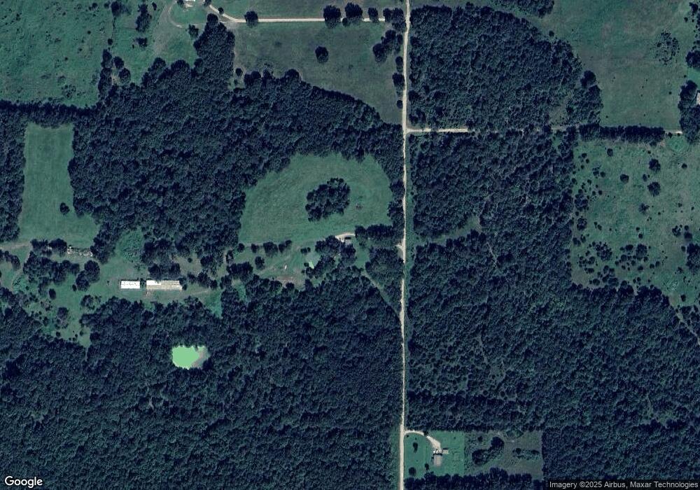
Map
Nearby Homes
- Tract 1 County Road 347
- Tract 2 County Road 347
- 2112 County Road 348
- 22 County Road 328
- 301 Luyster St
- 000 N County Road 328
- 100 Iowa St
- 000 County Road 9160
- 000 M Hwy
- 11508 U S 63
- 000 State Route F
- 517 W Ann St
- 355 W Main St
- 000 P Hwy
- 000
- 1326 County Road 359
- 10842 Us Highway 63
- 2371 County Road 359
- 2369 County Road 359
- 2231 W Hwy
Your Personal Tour Guide
Ask me questions while you tour the home.