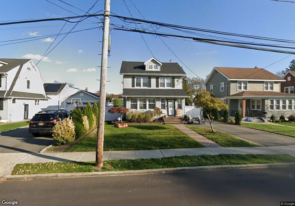
2621 Locust Ave Oceanside, NY 11572
Estimated Value: $779,550 - $1,003,000
3
Beds
2
Baths
1,392
Sq Ft
$640/Sq Ft
Est. Value
About This Home
This home is located at 2621 Locust Ave, Oceanside, NY 11572 and is currently estimated at $891,275, approximately $640 per square foot. 2621 Locust Ave is a home located in Nassau County with nearby schools including North Oceanside Elementary School 5, Oceanside Middle School, and Oceanside High School.
Ownership History
Date
Name
Owned For
Owner Type
Purchase Details
Closed on
Jun 18, 2001
Sold by
Clark Gerard
Bought by
Palaez David and Palaez Angela
Current Estimated Value
Purchase Details
Closed on
Feb 27, 1998
Sold by
Finley Robert F and Finley Debra J
Bought by
Clark Gerard
Create a Home Valuation Report for This Property
The Home Valuation Report is an in-depth analysis detailing your home's value as well as a comparison with similar homes in the area
Home Values in the Area
Average Home Value in this Area
Purchase History
| Date | Buyer | Sale Price | Title Company |
|---|---|---|---|
| Palaez David | $265,000 | Henry W. | |
| Clark Gerard | $125,000 | -- |
Source: Public Records
Tax History Compared to Growth
Tax History
| Year | Tax Paid | Tax Assessment Tax Assessment Total Assessment is a certain percentage of the fair market value that is determined by local assessors to be the total taxable value of land and additions on the property. | Land | Improvement |
|---|---|---|---|---|
| 2025 | $14,166 | $513 | $263 | $250 |
| 2024 | $4,097 | $513 | $263 | $250 |
| 2023 | $12,966 | $513 | $263 | $250 |
| 2022 | $12,966 | $513 | $263 | $250 |
| 2021 | $17,402 | $496 | $254 | $242 |
| 2020 | $16,381 | $677 | $676 | $1 |
| 2019 | $11,511 | $677 | $573 | $104 |
| 2018 | $9,628 | $836 | $0 | $0 |
| 2017 | $6,939 | $836 | $707 | $129 |
| 2016 | $10,765 | $836 | $672 | $164 |
| 2015 | $3,655 | $836 | $555 | $281 |
| 2014 | $3,655 | $836 | $555 | $281 |
| 2013 | $3,576 | $880 | $584 | $296 |
Source: Public Records
Map
Nearby Homes
- 51 Castleton Ct
- 2531 Mount Ave
- 2861 Tilrose Ave
- 14 Tilrose Ave
- 42 Homecrest Ct
- 33 Nassau Pkwy
- 254 Elizabeth Ave
- 138 Davison Ave
- 2861 Willard Ave
- 298 Nassau Pkwy
- 2463 Rockville Centre Pkwy
- 2766 Woods Ave
- 226 Oakview Ave
- 2848 Woods Ave
- 45 Woodland Ave
- 2593 Loftus Ave
- 4 S Forest Ave Unit B
- 2534 Yorktown St
- 2922 Oceanside Rd
- 2900 Stevens St
- 56 Franklin Place
- 2627 Locust Ave
- 2627 Locust Ave Unit 1st Fl
- 2611 Locust Ave
- 2633 Locust Ave
- 62 Franklin Place
- 68 Franklin Place
- 2637 Locust Ave
- 0 Locust Ave
- 72 Franklin Place
- 2618 Sheldon Place
- 2643 Locust Ave
- 22 Sheldon Place
- 43 Duncan Place
- 42 Franklin Place
- 2624 Sheldon Place
- 55 Franklin Place
- 55 Franklin Place
- 49 Franklin Place
- 61 Franklin Place