Estimated Value: $130,362 - $224,000
--
Bed
1
Bath
1,408
Sq Ft
$125/Sq Ft
Est. Value
About This Home
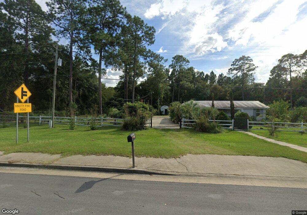
This home is located at 2621 Odum Hwy, Jesup, GA 31545 and is currently estimated at $175,591, approximately $124 per square foot. 2621 Odum Hwy is a home located in Wayne County with nearby schools including Bacon Elementary School, Martha Puckett Middle School, and Wayne County High School.
Ownership History
Date
Name
Owned For
Owner Type
Purchase Details
Closed on
Jul 5, 2012
Sold by
Noyes Charles
Bought by
Arteaga Julio T
Current Estimated Value
Home Financials for this Owner
Home Financials are based on the most recent Mortgage that was taken out on this home.
Original Mortgage
$25,693
Interest Rate
3.7%
Mortgage Type
New Conventional
Purchase Details
Closed on
Sep 1, 1992
Sold by
Selander Alice Jennings
Bought by
Noyes Charles
Purchase Details
Closed on
Feb 1, 1981
Bought by
Selander Alice Jennings
Purchase Details
Closed on
Aug 1, 1974
Create a Home Valuation Report for This Property
The Home Valuation Report is an in-depth analysis detailing your home's value as well as a comparison with similar homes in the area
Home Values in the Area
Average Home Value in this Area
Purchase History
| Date | Buyer | Sale Price | Title Company |
|---|---|---|---|
| Arteaga Julio T | $50,000 | -- | |
| Noyes Charles | $46,500 | -- | |
| Selander Alice Jennings | $39,900 | -- | |
| -- | -- | -- |
Source: Public Records
Mortgage History
| Date | Status | Borrower | Loan Amount |
|---|---|---|---|
| Closed | Arteaga Julio T | $25,693 |
Source: Public Records
Tax History Compared to Growth
Tax History
| Year | Tax Paid | Tax Assessment Tax Assessment Total Assessment is a certain percentage of the fair market value that is determined by local assessors to be the total taxable value of land and additions on the property. | Land | Improvement |
|---|---|---|---|---|
| 2024 | -- | $35,341 | $4,456 | $30,885 |
| 2023 | $944 | $31,480 | $4,456 | $27,024 |
| 2022 | $782 | $26,075 | $4,456 | $21,619 |
| 2021 | $697 | $22,576 | $4,456 | $18,120 |
| 2020 | $697 | $23,237 | $5,117 | $18,120 |
| 2019 | $697 | $23,237 | $5,117 | $18,120 |
| 2018 | $0 | $23,237 | $5,117 | $18,120 |
| 2017 | $0 | $23,237 | $5,117 | $18,120 |
| 2016 | $695 | $23,237 | $5,117 | $18,120 |
| 2014 | $697 | $23,237 | $5,117 | $18,120 |
| 2013 | -- | $23,236 | $5,117 | $18,119 |
Source: Public Records
Map
Nearby Homes
- 2771 Odum Hwy
- 31 Boardwalk Ave
- 141 Boardwalk Ave
- 67 Boardwalk Ave
- 96 Palm Tree Place
- 98 Saint Simons St
- 0 Red Oak Dr Unit 160341
- 0 Red Oak Dr Unit SA331365
- 1 Palm Island Cir
- 0 Palm Island Cir
- 440 Oak Island Estates Rd
- 720 Kaitlyn Ave
- 818 Kaitlyn Ave
- 75 Woodlawn Dr
- 113 Tift St
- 1361 Joey Williamson Rd Jesup Ga
- 0 Bay Acres Rd Unit 159302
- 0 Bay Acres Rd Unit 10457722
- 0 Bay Acres Rd Unit 1651861
- 95 Mayflower Rd
- 357 Knotty Pine Dr
- 2499 Odum Hwy
- 2751 Odum Hwy
- 285 Knotty Pine Dr
- 263 Knotty Pine Dr
- 2441 Odum Hwy
- 2815 Odum Hwy
- 111 Tank Rd
- 187 Knotty Pine Dr
- 2855 Odum Hwy
- 2381 Odum Hwy
- 2875 Odum Hwy
- 115 Knotty Pine Dr
- 147 Tree Top Ln
- 2901 Odum Hwy
- 2311 Odum Hwy
- 679 Tank Rd
- 2929 Odum Hwy
- 75 Knotty Pine Dr
- 74 Linda Ln