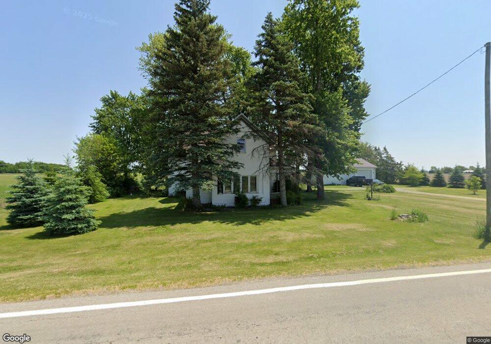
2621 State Route 637 Grover Hill, OH 45849
Estimated Value: $143,294 - $316,000
3
Beds
2
Baths
1,760
Sq Ft
$116/Sq Ft
Est. Value
About This Home
This home is located at 2621 State Route 637, Grover Hill, OH 45849 and is currently estimated at $203,324, approximately $115 per square foot. 2621 State Route 637 is a home located in Van Wert County with nearby schools including Lincolnview Elementary School and Lincolnview Junior/Senior High School.
Ownership History
Date
Name
Owned For
Owner Type
Purchase Details
Closed on
Mar 15, 2012
Sold by
Stewart Ruth
Bought by
Rogers Jeffery A
Current Estimated Value
Home Financials for this Owner
Home Financials are based on the most recent Mortgage that was taken out on this home.
Original Mortgage
$40,600
Outstanding Balance
$27,701
Interest Rate
3.88%
Mortgage Type
Purchase Money Mortgage
Estimated Equity
$175,623
Purchase Details
Closed on
Mar 22, 2003
Bought by
Rogers Jeffery A
Create a Home Valuation Report for This Property
The Home Valuation Report is an in-depth analysis detailing your home's value as well as a comparison with similar homes in the area
Home Values in the Area
Average Home Value in this Area
Purchase History
| Date | Buyer | Sale Price | Title Company |
|---|---|---|---|
| Rogers Jeffery A | $48,000 | Attorney | |
| Rogers Jeffery A | $48,000 | -- | |
| Rogers Jeffery A | $48,000 | -- |
Source: Public Records
Mortgage History
| Date | Status | Borrower | Loan Amount |
|---|---|---|---|
| Open | Rogers Jeffery A | $40,600 |
Source: Public Records
Tax History Compared to Growth
Tax History
| Year | Tax Paid | Tax Assessment Tax Assessment Total Assessment is a certain percentage of the fair market value that is determined by local assessors to be the total taxable value of land and additions on the property. | Land | Improvement |
|---|---|---|---|---|
| 2024 | $1,128 | $35,870 | $6,920 | $28,950 |
| 2023 | $1,128 | $35,870 | $6,920 | $28,950 |
| 2022 | $1,186 | $27,720 | $5,320 | $22,400 |
| 2021 | $1,171 | $27,720 | $5,320 | $22,400 |
| 2020 | $1,168 | $27,720 | $5,320 | $22,400 |
| 2019 | $974 | $24,920 | $4,410 | $20,510 |
| 2018 | $962 | $24,920 | $4,410 | $20,510 |
| 2017 | $867 | $24,920 | $4,410 | $20,510 |
| 2016 | $777 | $22,980 | $4,410 | $18,570 |
| 2015 | $765 | $22,980 | $4,410 | $18,570 |
| 2014 | $794 | $22,980 | $4,410 | $18,570 |
| 2013 | $974 | $23,310 | $4,410 | $18,900 |
Source: Public Records
Map
Nearby Homes
- 100 N Maple St
- 106 W Jackson St
- 201 N Main St
- 301 E Wayne St
- 18251 Road 48
- 1185 Drury St
- 1131 Sheridan St
- 1067 College Ave
- 25853 Road M
- 0 Road 72
- 320 Auglaize St
- 13945 Lincoln Hwy
- TBD Dog Creek Rd
- 0 Road 24-Q
- 0 Heritage Cir Unit 6112034
- 0 Heritage Cir Unit 303239
- 112 W Railroad St
- 104 W Railroad St
- TBD Mendon Rd
- 104 W South St
- 2226 State Route 637
- 17972 Feasby Wisener Rd
- 18279 Feasby Wisener Rd
- 3133 State Route 637
- 2112 State Route 637
- 17546 Feasby Wisener Rd
- 17751 Defiance Trail
- 18593 Feasby Wisener Rd
- 17693 Defiance Trail
- 17677 Defiance Trail
- 17745 Elm Sugar Rd
- 17619 Defiance Trail
- 3393 State Route 637
- 17514 Elm Sugar Rd
- 17462 Elm Sugar Rd
- 18770 Elm Sugar Rd
- 17371 Elm Sugar Rd
- 2477 Slane Rd