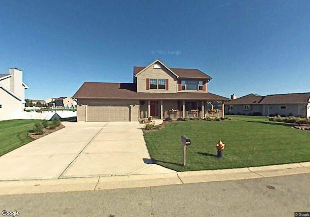
2621 Wynfield Dr Mount Pleasant, WI 53406
Estimated Value: $432,552 - $455,000
3
Beds
3
Baths
1,596
Sq Ft
$277/Sq Ft
Est. Value
About This Home
This home is located at 2621 Wynfield Dr, Mount Pleasant, WI 53406 and is currently estimated at $442,388, approximately $277 per square foot. 2621 Wynfield Dr is a home located in Racine County with nearby schools including Gifford Elementary School, Case High School, and St. John Fisher Academy.
Ownership History
Date
Name
Owned For
Owner Type
Purchase Details
Closed on
Jun 29, 2006
Sold by
Beyer Joel R and Beyer Kaia A
Bought by
Johnson Patrick and Johnson Katie
Current Estimated Value
Home Financials for this Owner
Home Financials are based on the most recent Mortgage that was taken out on this home.
Original Mortgage
$26,050
Interest Rate
6.3%
Mortgage Type
Unknown
Create a Home Valuation Report for This Property
The Home Valuation Report is an in-depth analysis detailing your home's value as well as a comparison with similar homes in the area
Home Values in the Area
Average Home Value in this Area
Purchase History
| Date | Buyer | Sale Price | Title Company |
|---|---|---|---|
| Johnson Patrick | $260,500 | -- |
Source: Public Records
Mortgage History
| Date | Status | Borrower | Loan Amount |
|---|---|---|---|
| Closed | Johnson Patrick | $26,050 | |
| Open | Johnson Patrick | $208,400 |
Source: Public Records
Tax History Compared to Growth
Tax History
| Year | Tax Paid | Tax Assessment Tax Assessment Total Assessment is a certain percentage of the fair market value that is determined by local assessors to be the total taxable value of land and additions on the property. | Land | Improvement |
|---|---|---|---|---|
| 2024 | $5,415 | $348,100 | $83,400 | $264,700 |
| 2023 | $5,015 | $314,900 | $77,900 | $237,000 |
| 2022 | $4,626 | $287,500 | $77,900 | $209,600 |
| 2021 | $4,923 | $272,600 | $70,800 | $201,800 |
| 2020 | $4,517 | $241,900 | $52,100 | $189,800 |
| 2019 | $4,276 | $240,400 | $52,100 | $188,300 |
| 2018 | $4,129 | $215,500 | $45,900 | $169,600 |
| 2017 | $4,032 | $206,300 | $45,900 | $160,400 |
| 2016 | $3,663 | $177,400 | $34,400 | $143,000 |
| 2015 | $3,622 | $177,400 | $34,400 | $143,000 |
| 2014 | $3,421 | $177,400 | $34,400 | $143,000 |
| 2013 | $3,695 | $177,400 | $34,400 | $143,000 |
Source: Public Records
Map
Nearby Homes
- 2520 Amber Ln
- 6130 Northwestern Ave
- Thomas Plan at Auburn Hills
- Oakland Plan at Auburn Hills
- Kimberly Plan at Auburn Hills
- Springfield Plan at Auburn Hills
- 5402 Cynthia Ln
- 3232 Bergamot Dr
- Weston Traditional Plan at Auburn Hills
- 3234 Blue Star Cir
- 3242 Bergamot Dr
- 3240 Blue Star Cir
- 6147 Carriage Hills Dr
- 2746 Manor Ave
- 2421 Dover Ln
- 3306 Bergamont Dr
- 2132 Esquire Ln
- 1812 Centennial Ln
- 2314 Raintree Ln
- 2536 Green Haze Ave
- 2559 Wynfield Dr
- 2631 Wynfield Dr
- 5920 Wynbrook Ct
- 5910 Wynbrook Ct
- 2541 Wynfield Dr
- 2641 Wynfield Dr
- 2622 Wynfield Dr
- 2612 Wynfield Dr
- 2632 Wynfield Dr
- 5900 Wynbrook Ct
- 2602 Wynfield Dr
- 5911 Wyndham Ct
- 2552 Wynfield Dr
- 5921 Wyndham Ct
- 2642 Wynfield Dr
- 2542 Wynfield Dr
- 5850 Wynbrook Ct
- 5851 Wyndham Ct
- 5921 Wynbrook Ct
- 5941 Wynbrook Ct