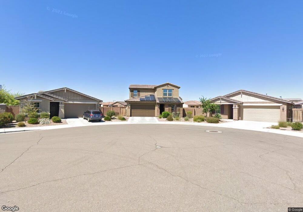
26210 N 122nd Dr Peoria, AZ 85383
Estimated Value: $530,000 - $599,683
--
Bed
--
Bath
2,719
Sq Ft
$203/Sq Ft
Est. Value
About This Home
This home is located at 26210 N 122nd Dr, Peoria, AZ 85383 and is currently estimated at $552,171, approximately $203 per square foot. 26210 N 122nd Dr is a home with nearby schools including Lake Pleasant Elementary School, Liberty High School, and Candeo Peoria.
Ownership History
Date
Name
Owned For
Owner Type
Purchase Details
Closed on
Jul 6, 2015
Sold by
First American Title Insurance Company
Bought by
Garcia Marco and Garcia Gabriela
Current Estimated Value
Home Financials for this Owner
Home Financials are based on the most recent Mortgage that was taken out on this home.
Original Mortgage
$265,872
Outstanding Balance
$210,587
Interest Rate
4.4%
Mortgage Type
FHA
Estimated Equity
$341,584
Create a Home Valuation Report for This Property
The Home Valuation Report is an in-depth analysis detailing your home's value as well as a comparison with similar homes in the area
Home Values in the Area
Average Home Value in this Area
Purchase History
| Date | Buyer | Sale Price | Title Company |
|---|---|---|---|
| Garcia Marco | $270,820 | First American Title Ins Co |
Source: Public Records
Mortgage History
| Date | Status | Borrower | Loan Amount |
|---|---|---|---|
| Open | Garcia Marco | $265,872 |
Source: Public Records
Tax History Compared to Growth
Tax History
| Year | Tax Paid | Tax Assessment Tax Assessment Total Assessment is a certain percentage of the fair market value that is determined by local assessors to be the total taxable value of land and additions on the property. | Land | Improvement |
|---|---|---|---|---|
| 2025 | $2,794 | $27,086 | -- | -- |
| 2024 | $2,543 | $25,796 | -- | -- |
| 2023 | $2,543 | $40,680 | $8,130 | $32,550 |
| 2022 | $2,446 | $31,250 | $6,250 | $25,000 |
| 2021 | $2,556 | $29,420 | $5,880 | $23,540 |
| 2020 | $2,558 | $27,830 | $5,560 | $22,270 |
| 2019 | $2,482 | $25,910 | $5,180 | $20,730 |
| 2018 | $2,395 | $24,830 | $4,960 | $19,870 |
| 2017 | $2,465 | $23,460 | $4,690 | $18,770 |
| 2016 | $2,435 | $23,280 | $4,650 | $18,630 |
| 2015 | $99 | $1,216 | $1,216 | $0 |
Source: Public Records
Map
Nearby Homes
- 12144 W Remuda Dr
- 12242 W Rowel Rd
- 26142 N 121st Ave
- 26216 N 120th Ln
- 12109 W Desert Moon Way
- 12227 W Prickly Pear Trail
- 12110 W Rowel Rd
- 12017 W Avenida Del Rey
- 12446 W Bajada Rd
- 12335 W Rosewood Ln
- 12359 W Rosewood Ln
- 26765 N 126th Ln
- 12364 W Rosewood Ln
- 12539 W Bajada Rd
- 12448 W Rosewood Ln
- 26735 N 127th Dr
- 26747 N 127th Dr
- 12652 W Maya Way
- 12477 W Fetlock Trail
- 12629 W Bajada Rd
- 26206 N 122nd Dr
- 26214 N 122nd Dr
- 12228 W Desert Moon Way
- 12219 W Briles Rd
- 12223 W Briles Rd
- 12215 W Briles Rd
- 12227 W Briles Rd
- 12211 W Briles Rd
- 12232 W Desert Moon Way
- 26211 N 122nd Dr
- 12231 W Briles Rd
- 12207 W Briles Rd
- 12236 W Desert Moon Way
- 12235 W Briles Rd
- 26207 N 122nd Dr
- 12223 W Desert Moon Way
- 12227 W Desert Moon Way
- 12157 W Briles Rd
- 26203 N 122nd Dr
- 12231 W Desert Moon Way