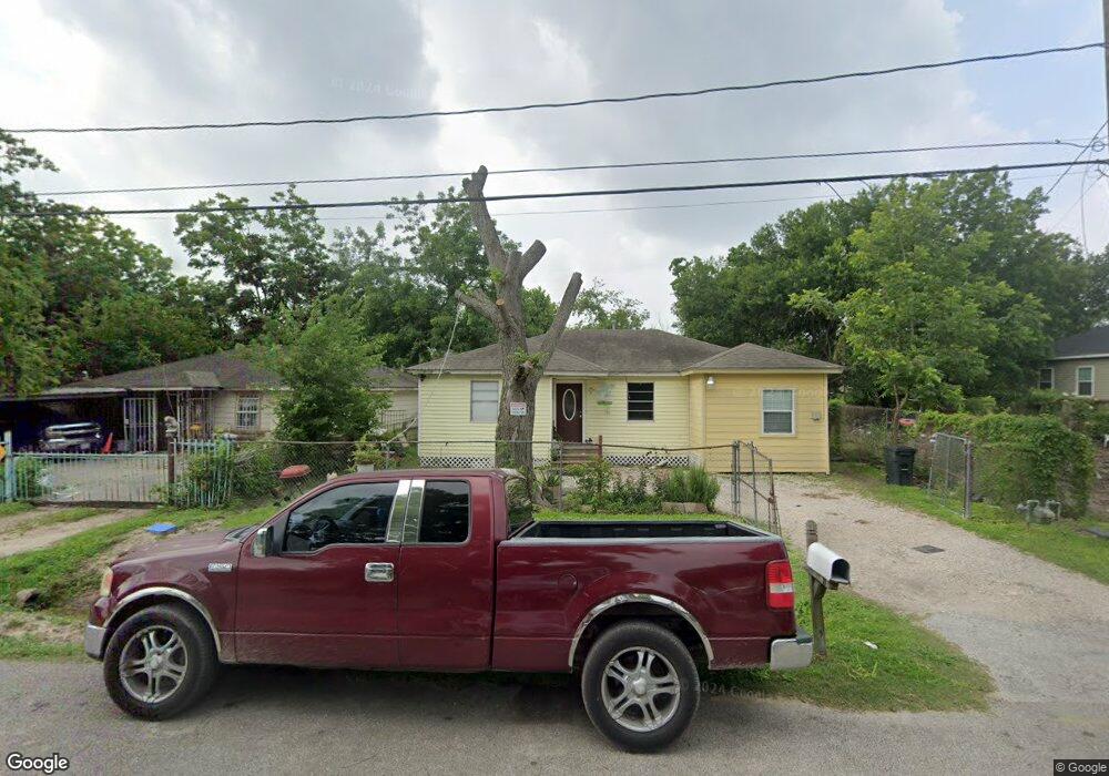
2622 Mierianne St Houston, TX 77093
East Aldine NeighborhoodEstimated Value: $138,168 - $162,000
3
Beds
1
Bath
1,206
Sq Ft
$121/Sq Ft
Est. Value
About This Home
This home is located at 2622 Mierianne St, Houston, TX 77093 and is currently estimated at $146,292, approximately $121 per square foot. 2622 Mierianne St is a home located in Harris County with nearby schools including Vardeman EC/PK/K, Worsham Elementary School, and Macarthur Ninth Grade School.
Ownership History
Date
Name
Owned For
Owner Type
Purchase Details
Closed on
May 8, 2019
Sold by
Deleon Francisco De and Deleon Raquel De
Bought by
Arana Angelica
Current Estimated Value
Purchase Details
Closed on
Mar 21, 2001
Sold by
Martinez Julia Elena
Bought by
Deleon Francisco and Deleon Raquel
Purchase Details
Closed on
Feb 14, 2001
Sold by
Mendez Maria Julia
Bought by
Martinez Julia Elena
Purchase Details
Closed on
Mar 8, 1995
Sold by
Federal Deposit Insurance Corporation
Bought by
Mendez Maria Julia
Create a Home Valuation Report for This Property
The Home Valuation Report is an in-depth analysis detailing your home's value as well as a comparison with similar homes in the area
Home Values in the Area
Average Home Value in this Area
Purchase History
| Date | Buyer | Sale Price | Title Company |
|---|---|---|---|
| Arana Angelica | -- | None Available | |
| Deleon Francisco | $16,120 | -- | |
| Martinez Julia Elena | -- | -- | |
| Mendez Maria Julia | -- | -- |
Source: Public Records
Tax History Compared to Growth
Tax History
| Year | Tax Paid | Tax Assessment Tax Assessment Total Assessment is a certain percentage of the fair market value that is determined by local assessors to be the total taxable value of land and additions on the property. | Land | Improvement |
|---|---|---|---|---|
| 2025 | $1,764 | $110,839 | $31,613 | $79,226 |
| 2024 | $1,764 | $91,152 | $31,613 | $59,539 |
| 2023 | $1,697 | $91,152 | $31,613 | $59,539 |
| 2022 | $1,616 | $78,583 | $31,613 | $46,970 |
| 2021 | $1,235 | $57,289 | $31,613 | $25,676 |
| 2020 | $1,301 | $57,289 | $31,613 | $25,676 |
| 2019 | $1,363 | $57,289 | $31,613 | $25,676 |
| 2018 | $555 | $38,678 | $14,753 | $23,925 |
| 2017 | $877 | $38,678 | $14,753 | $23,925 |
| 2016 | $877 | $38,678 | $14,753 | $23,925 |
| 2015 | $863 | $38,678 | $14,753 | $23,925 |
| 2014 | $863 | $38,678 | $14,753 | $23,925 |
Source: Public Records
Map
Nearby Homes
- 2723 Castledale Dr
- 2410 Mierianne St
- 11716 Innsbury Dr
- 2922 Bertrand St
- 2930 Bertrand St
- 3111 Hartwick Rd
- 11746 Somerset Ln
- 2915 Brea Crest St
- 2326 Sunny Dr
- 3214 Brea Crest St
- 2306 Wardmont St
- 2311 Warwick Rd
- 2817 Cromwell St
- 2237 Cromwell St
- 1925 Sunny Dr
- 2629 Kowis St
- 2131 Cromwell St Unit D
- 2131 Warwick Rd
- 2123 Warwick Rd
- 3418 Hopper Rd
- 2618 Mierianne St
- 2626 Mierianne St
- 2614 Mierianne St
- 2610 Mierianne St
- 2625 Bertrand St
- 2613 Bertrand St
- 2617 Mierianne St
- 2606 Mierianne St
- 2609 Bertrand St
- 2633 Bertrand St
- 2621 Mierianne St
- 2613 Mierianne St
- 2611 Mierianne St
- 2605 Bertrand St
- 2602 Mierianne St
- 2637 Bertrand St
- 2601 Bertrand St
- 2601 Mierianne St
- 2622 Bertrand St
- 2626 Bertrand St