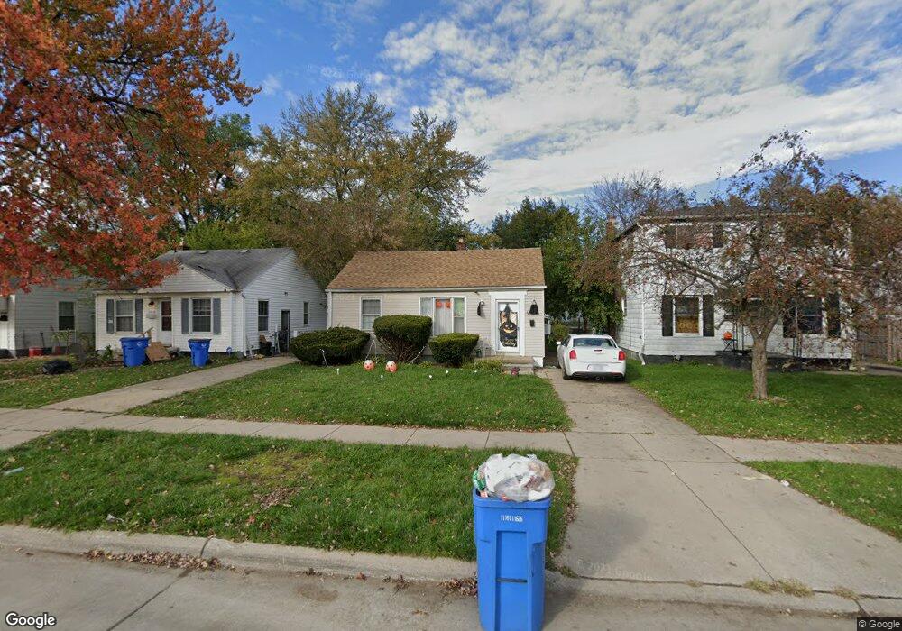
26226 Powers Ave Dearborn Heights, MI 48125
Estimated Value: $118,000 - $132,000
2
Beds
1
Bath
696
Sq Ft
$175/Sq Ft
Est. Value
About This Home
This home is located at 26226 Powers Ave, Dearborn Heights, MI 48125 and is currently estimated at $122,004, approximately $175 per square foot. 26226 Powers Ave is a home located in Wayne County with nearby schools including Quest Charter Academy, West Village Academy, and Peterson-Warren Academy.
Ownership History
Date
Name
Owned For
Owner Type
Purchase Details
Closed on
Jul 9, 2015
Sold by
Msr Holding Llc
Bought by
Ameen Real Estate Holdings
Current Estimated Value
Purchase Details
Closed on
Oct 11, 2013
Sold by
Wayne County Treasurer
Bought by
Msr Holding
Purchase Details
Closed on
May 25, 2006
Sold by
Lyson Matthew W
Bought by
Jones Adrian
Purchase Details
Closed on
Dec 14, 1995
Sold by
Lyson Matthew W
Bought by
Lyson Matthew W
Create a Home Valuation Report for This Property
The Home Valuation Report is an in-depth analysis detailing your home's value as well as a comparison with similar homes in the area
Home Values in the Area
Average Home Value in this Area
Purchase History
| Date | Buyer | Sale Price | Title Company |
|---|---|---|---|
| Ameen Real Estate Holdings | $45,000 | None Available | |
| Msr Holding | $22,000 | None Available | |
| Jones Adrian | $75,000 | First American Title Ins | |
| Lyson Matthew W | $34,400 | -- | |
| Lyson Matthew W | $34,400 | -- |
Source: Public Records
Tax History Compared to Growth
Tax History
| Year | Tax Paid | Tax Assessment Tax Assessment Total Assessment is a certain percentage of the fair market value that is determined by local assessors to be the total taxable value of land and additions on the property. | Land | Improvement |
|---|---|---|---|---|
| 2025 | $1,175 | $54,800 | $0 | $0 |
| 2024 | $1,175 | $44,800 | $0 | $0 |
| 2023 | $1,527 | $38,500 | $0 | $0 |
| 2022 | $1,887 | $32,700 | $0 | $0 |
| 2021 | $1,559 | $29,100 | $0 | $0 |
| 2019 | $1,443 | $22,800 | $0 | $0 |
| 2018 | $926 | $21,500 | $0 | $0 |
| 2017 | $955 | $20,800 | $0 | $0 |
| 2016 | $1,405 | $21,100 | $0 | $0 |
| 2015 | $1,960 | $19,600 | $0 | $0 |
| 2013 | $2,110 | $22,100 | $0 | $0 |
| 2010 | -- | $24,100 | $0 | $0 |
Source: Public Records
Map
Nearby Homes
- 26106 Powers Ave
- 26225 McDonald St
- 26532 Powers Ave
- 25926 Powers Ave
- 25965 Currier St
- 4863 Glenis St
- 25895 Annapolis St
- 26439 Hopkins St
- 26458 Hopkins St
- 25628 Powers Ave
- 26159 Stanford St
- 5961 Marvin St
- 5845 Beech Daly Rd
- 5970 John Daly St
- 5993 John Daly St
- 5526 Sylvia St
- 5842 Janet St
- 26202 Colgate St
- 6075 Duncan St
- 5961 Beech Daly Rd
- 26236 Powers Ave
- 26216 Powers Ave
- 26246 Powers Ave
- 26206 Powers Ave
- 26256 Powers Ave
- 26196 Powers Ave
- 26225 Pennie St
- 26235 Pennie St
- 26215 Pennie St Unit Bldg-Unit
- 26215 Pennie St
- 26266 Powers Ave
- 26245 Pennie St
- 26255 Pennie St
- 26195 Pennie St
- 26176 Powers Ave
- 26276 Powers Ave
- 26265 Pennie St
- 26166 Powers Ave
- 26185 Pennie St
- 26286 Powers Ave