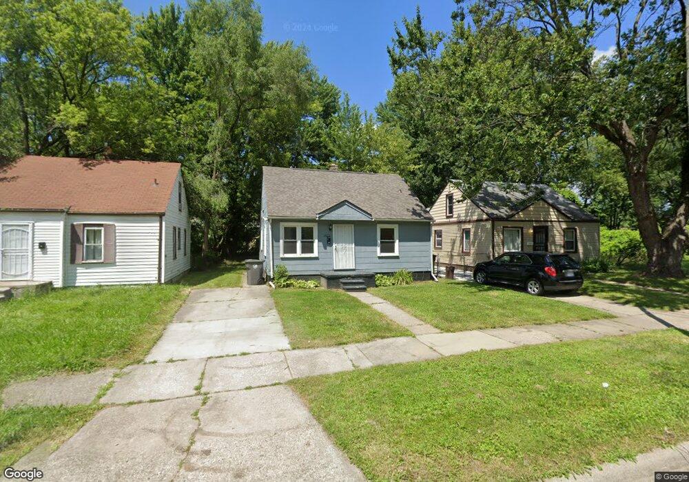
26232 Stanford St Inkster, MI 48141
Estimated Value: $93,000 - $403,988
--
Bed
1
Bath
845
Sq Ft
$204/Sq Ft
Est. Value
About This Home
This home is located at 26232 Stanford St, Inkster, MI 48141 and is currently estimated at $172,747, approximately $204 per square foot. 26232 Stanford St is a home located in Wayne County with nearby schools including West Village Academy, Quest Charter Academy, and Peterson-Warren Academy.
Ownership History
Date
Name
Owned For
Owner Type
Purchase Details
Closed on
May 18, 2023
Sold by
Lorentz Scott
Bought by
Lmw Investments Llc
Current Estimated Value
Purchase Details
Closed on
Mar 25, 2018
Sold by
Crump Henry L and Crump Maggie L
Bought by
Lorentz Scott
Purchase Details
Closed on
Apr 22, 1996
Sold by
Henry L and Crump Maggie L
Bought by
Joseph Margaret and Joseph Hull
Create a Home Valuation Report for This Property
The Home Valuation Report is an in-depth analysis detailing your home's value as well as a comparison with similar homes in the area
Home Values in the Area
Average Home Value in this Area
Purchase History
| Date | Buyer | Sale Price | Title Company |
|---|---|---|---|
| Lmw Investments Llc | -- | None Listed On Document | |
| Lorentz Scott | $16,000 | First American Title | |
| Lorentz Scott | -- | None Available | |
| Joseph Margaret | $11,500 | -- |
Source: Public Records
Mortgage History
| Date | Status | Borrower | Loan Amount |
|---|---|---|---|
| Closed | Lorentz Scott | $0 |
Source: Public Records
Tax History Compared to Growth
Tax History
| Year | Tax Paid | Tax Assessment Tax Assessment Total Assessment is a certain percentage of the fair market value that is determined by local assessors to be the total taxable value of land and additions on the property. | Land | Improvement |
|---|---|---|---|---|
| 2025 | $808 | $31,100 | $0 | $0 |
| 2024 | $808 | $25,200 | $0 | $0 |
| 2023 | $781 | $20,300 | $0 | $0 |
| 2022 | $1,099 | $16,400 | $0 | $0 |
| 2021 | $1,141 | $14,800 | $0 | $0 |
| 2020 | $1,117 | $12,700 | $0 | $0 |
| 2019 | $1,076 | $11,000 | $0 | $0 |
| 2018 | $680 | $10,400 | $0 | $0 |
| 2017 | $579 | $10,000 | $0 | $0 |
| 2016 | $1,004 | $10,200 | $0 | $0 |
| 2015 | $1,190 | $11,900 | $0 | $0 |
| 2013 | $1,490 | $14,900 | $0 | $0 |
| 2012 | $649 | $16,400 | $1,700 | $14,700 |
Source: Public Records
Map
Nearby Homes
- 26202 Colgate St
- 26231 Andover St
- 26159 Stanford St
- 4110 John Daly St
- 26458 Hopkins St
- 26439 Hopkins St
- 25866 Andover St
- 0000 Ross Ross St
- 26419 Carlysle St
- 26225 McDonald St
- 26773 Colgate St
- 26653 Ross St
- 25895 Annapolis St
- 26206 Kitch St
- 26860 Andover St
- 26916 Andover St
- 4863 Glenis St
- 26106 Powers Ave
- 27022 Colgate St
- 26532 Powers Ave
- 26224 Stanford St
- 26240 Stanford St
- 26248 Stanford St
- 26208 Stanford St
- 26256 Stanford St
- 26215 Colgate St
- 26219 Colgate St
- 26211 Colgate St Unit Bldg-Unit
- 26211 Colgate St
- 26200 Stanford St
- 26223 Colgate St
- 26207 Colgate St
- 26266 Stanford St
- 26203 Colgate St
- 26227 Colgate St
- 26249 Stanford St
- 26233 Stanford St
- 26225 Stanford St
- 26241 Stanford St
- 26166 Stanford St