26233 Osborne Rd Columbia Station, OH 44028
Estimated Value: $538,911 - $736,000
3
Beds
3
Baths
2,710
Sq Ft
$234/Sq Ft
Est. Value
About This Home
This home is located at 26233 Osborne Rd, Columbia Station, OH 44028 and is currently estimated at $633,304, approximately $233 per square foot. 26233 Osborne Rd is a home located in Lorain County with nearby schools including Falls-Lenox Primary Elementary School, Olmsted Falls Intermediate Building, and Olmsted Falls Middle School.
Ownership History
Date
Name
Owned For
Owner Type
Purchase Details
Closed on
Jul 23, 2008
Sold by
Pulice Daniel A and Pulice Sheryl A
Bought by
Locklear C Michael and Locklear Doris K
Current Estimated Value
Home Financials for this Owner
Home Financials are based on the most recent Mortgage that was taken out on this home.
Original Mortgage
$345,000
Outstanding Balance
$225,819
Interest Rate
6.36%
Mortgage Type
Purchase Money Mortgage
Estimated Equity
$407,485
Purchase Details
Closed on
Apr 30, 2002
Sold by
Pulice Daniel A and Pulice Sheryl A
Bought by
Pulice Daniel A and Pulice Sheryl A
Create a Home Valuation Report for This Property
The Home Valuation Report is an in-depth analysis detailing your home's value as well as a comparison with similar homes in the area
Home Values in the Area
Average Home Value in this Area
Purchase History
| Date | Buyer | Sale Price | Title Company |
|---|---|---|---|
| Locklear C Michael | $432,000 | Resource Title Agency Inc | |
| Pulice Daniel A | -- | Midland Title |
Source: Public Records
Mortgage History
| Date | Status | Borrower | Loan Amount |
|---|---|---|---|
| Open | Locklear C Michael | $345,000 |
Source: Public Records
Tax History Compared to Growth
Tax History
| Year | Tax Paid | Tax Assessment Tax Assessment Total Assessment is a certain percentage of the fair market value that is determined by local assessors to be the total taxable value of land and additions on the property. | Land | Improvement |
|---|---|---|---|---|
| 2024 | $7,213 | $128,975 | $43,204 | $85,771 |
| 2023 | $9,798 | $145,884 | $47,506 | $98,378 |
| 2022 | $9,509 | $145,884 | $47,506 | $98,378 |
| 2021 | $9,511 | $145,884 | $47,506 | $98,378 |
| 2020 | $9,780 | $133,470 | $43,460 | $90,010 |
| 2019 | $8,725 | $133,470 | $43,460 | $90,010 |
| 2018 | $8,733 | $133,470 | $43,460 | $90,010 |
| 2017 | $8,689 | $122,750 | $35,560 | $87,190 |
| 2016 | $8,759 | $122,750 | $35,560 | $87,190 |
| 2015 | $8,817 | $122,750 | $35,560 | $87,190 |
| 2014 | $7,642 | $106,740 | $30,920 | $75,820 |
| 2013 | $7,647 | $106,740 | $30,920 | $75,820 |
Source: Public Records
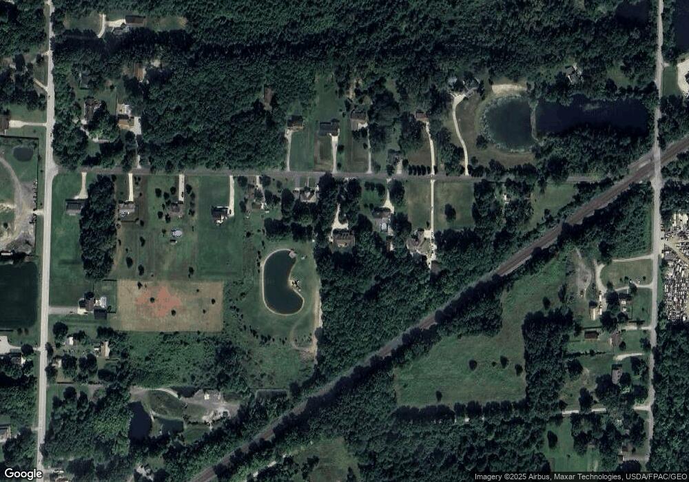
Map
Nearby Homes
- 23663 Victory Ln
- 26571 Sprague Rd
- 27056 Sprague Rd
- 9954 Ethan Dr
- 9628 Kingston Trail
- 11834 W River Rd
- 27167 Watkin Rd
- 26645 Lake of the Falls Blvd
- 9130 Devonshire Dr
- 9112 Devonshire Dr
- 23855 W Rim Dr
- 31100 Blooming Ln
- 9159 E Windsor Dr
- 26609 N Park Blvd Unit 26609
- 2013 Viewpointe Ct
- 0 E River Rd Unit 5120285
- 26523 Sussex Dr
- 26700 Redwood Dr
- 26511 Locust Dr
- 26183 Raintree Blvd Unit C-10
- 26215 Osborne Rd
- 26257 Osborne Rd
- 26171 Osborne Rd
- 26194 Osborne Rd
- 26307 Osborne Rd
- 26220 Osborne Rd
- 26258 Osborne Rd
- 26335 Osborne Rd
- 26276 Osborne Rd
- 26276 Osborne Rd
- 26178 Osborne Rd
- 26361 Osborne Rd
- 26097 Osborne Rd
- 26089 Osborne Rd
- 26152 Osborne Rd
- 26383 Osborne Rd
- 26440 Osborne Rd
- 11225 Station Rd
- 11201 Station Rd
- 26465 Osborne Rd