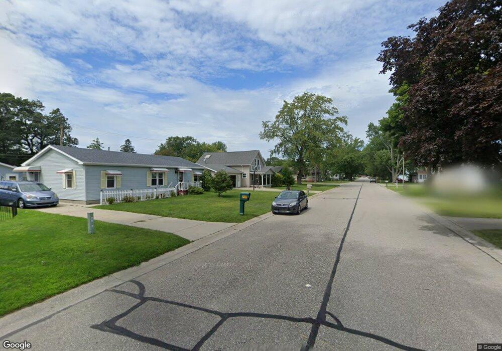
2625 17th Ave Port Huron, MI 48060
Estimated Value: $213,000 - $229,000
3
Beds
2
Baths
1,248
Sq Ft
$177/Sq Ft
Est. Value
About This Home
This home is located at 2625 17th Ave, Port Huron, MI 48060 and is currently estimated at $220,719, approximately $176 per square foot. 2625 17th Ave is a home located in St. Clair County with nearby schools including H.D. Crull Elementary School, Holland Woods Middle School, and Port Huron Northern High School.
Ownership History
Date
Name
Owned For
Owner Type
Purchase Details
Closed on
Jul 15, 2024
Sold by
Catanzaro Daniel V and Catanzaro Teresa G
Bought by
Catanzaro Daniel V and Catanzaro Teresa G
Current Estimated Value
Purchase Details
Closed on
Feb 29, 2024
Sold by
Catanzaro Teresa G and Catanzaro Daniel V
Bought by
Catanzaro Teresa G and Catanzaro Daniel V
Purchase Details
Closed on
Jul 1, 2015
Sold by
Catanzaro Teresa G
Bought by
Catanzaro Teresa G and Catanzaro Daniel
Purchase Details
Closed on
Nov 14, 2013
Sold by
Pearson Paul C and Pearson Jean
Bought by
Catanzaro Teresa G
Purchase Details
Closed on
Sep 12, 2007
Sold by
Pearson Jean and Pearson Paul C
Bought by
Willing Jean and Pearson Paul C
Purchase Details
Closed on
May 10, 2007
Sold by
Pearson Jean and Pearson Vernon
Bought by
Pearson Jean and Pearson Paul C
Create a Home Valuation Report for This Property
The Home Valuation Report is an in-depth analysis detailing your home's value as well as a comparison with similar homes in the area
Home Values in the Area
Average Home Value in this Area
Purchase History
| Date | Buyer | Sale Price | Title Company |
|---|---|---|---|
| Catanzaro Daniel V | -- | None Listed On Document | |
| Catanzaro Daniel V | -- | None Listed On Document | |
| Catanzaro Teresa G | -- | None Listed On Document | |
| Catanzaro Teresa G | -- | None Available | |
| Catanzaro Teresa G | -- | None Available | |
| Willing Jean | -- | None Available | |
| Pearson Jean | -- | None Available |
Source: Public Records
Tax History Compared to Growth
Tax History
| Year | Tax Paid | Tax Assessment Tax Assessment Total Assessment is a certain percentage of the fair market value that is determined by local assessors to be the total taxable value of land and additions on the property. | Land | Improvement |
|---|---|---|---|---|
| 2025 | $2,431 | $100,700 | $0 | $0 |
| 2024 | $2,079 | $92,000 | $0 | $0 |
| 2023 | $1,964 | $83,000 | $0 | $0 |
| 2022 | $2,076 | $74,000 | $0 | $0 |
| 2021 | $1,971 | $63,900 | $0 | $0 |
| 2020 | $1,993 | $60,400 | $60,400 | $0 |
| 2019 | $1,957 | $47,300 | $0 | $0 |
| 2018 | $1,914 | $47,300 | $0 | $0 |
| 2017 | $1,709 | $42,300 | $0 | $0 |
| 2016 | $1,464 | $42,300 | $0 | $0 |
| 2015 | $2,398 | $40,700 | $40,700 | $0 |
| 2014 | $2,398 | $46,600 | $46,600 | $0 |
| 2013 | -- | $45,600 | $0 | $0 |
Source: Public Records
Map
Nearby Homes
- 2215 Hancock St
- 2812 19th Ave
- 1531 Robinson St
- 2857 Riverside Dr
- 3208 Mount Vernon Rd
- 1434 Schumaker St
- 2913 11th Ave
- 2549 Riverwood Dr
- 2806 Woodstock Dr
- 1218 Garfield St
- 2838 Elmwood St
- 1907 Riverside Dr
- 1819 Riverside Dr
- 1116 Hancock St
- 1202 Palmer Ct
- 2400 Stone St Unit 2414
- 3419 Riverside Dr
- 2610 Strawberry Ln
- 3214 Poplar St
- 1649 Whipple St