26255 Pheasant Landing Rd Middleton, ID 83644
Estimated Value: $833,000 - $1,026,000
3
Beds
2
Baths
2,699
Sq Ft
$353/Sq Ft
Est. Value
About This Home
This home is located at 26255 Pheasant Landing Rd, Middleton, ID 83644 and is currently estimated at $953,783, approximately $353 per square foot. 26255 Pheasant Landing Rd is a home located in Canyon County with nearby schools including Middleton Heights Elementary School, Middleton Middle School, and Middleton High School.
Ownership History
Date
Name
Owned For
Owner Type
Purchase Details
Closed on
Jan 27, 2023
Sold by
Hendershott Ronald and Hendershott Lisa
Bought by
Hendershott Family Revocable Trust
Current Estimated Value
Purchase Details
Closed on
Mar 12, 2020
Sold by
Hendershott Ronald and Hendershott Lisa
Bought by
Hendershott Ronald and Hendershott Lisa
Purchase Details
Closed on
Jan 23, 2012
Sold by
Sasanvej Partners Inc
Bought by
Crawforth Richard E and Larson Jeffrey L
Purchase Details
Closed on
Jan 5, 2012
Sold by
Crawforth Richard E
Bought by
Hendershott Ronald and Hendershott Lisa
Purchase Details
Closed on
Oct 17, 2006
Sold by
Liberty Partners Inc
Bought by
Sasanvej Partners Inc
Create a Home Valuation Report for This Property
The Home Valuation Report is an in-depth analysis detailing your home's value as well as a comparison with similar homes in the area
Home Values in the Area
Average Home Value in this Area
Purchase History
| Date | Buyer | Sale Price | Title Company |
|---|---|---|---|
| Hendershott Family Revocable Trust | -- | -- | |
| Hendershott Ronald | -- | None Available | |
| Crawforth Richard E | -- | Pioneer Title Canyon Ca | |
| Hendershott Ronald | $27,000 | Pioneer Title Canyon Ca | |
| Sasanvej Partners Inc | -- | First American Title |
Source: Public Records
Tax History Compared to Growth
Tax History
| Year | Tax Paid | Tax Assessment Tax Assessment Total Assessment is a certain percentage of the fair market value that is determined by local assessors to be the total taxable value of land and additions on the property. | Land | Improvement |
|---|---|---|---|---|
| 2025 | $2,958 | $923,470 | $319,970 | $603,500 |
| 2024 | $2,958 | $886,540 | $290,940 | $595,600 |
| 2023 | $2,884 | $886,040 | $290,940 | $595,100 |
| 2022 | $3,650 | $929,340 | $335,240 | $594,100 |
| 2021 | $4,063 | $664,770 | $166,970 | $497,800 |
| 2020 | $4,016 | $520,840 | $128,140 | $392,700 |
| 2019 | $4,542 | $510,280 | $116,080 | $394,200 |
| 2018 | $4,164 | $0 | $0 | $0 |
| 2017 | $3,771 | $0 | $0 | $0 |
| 2016 | $3,704 | $0 | $0 | $0 |
| 2015 | $3,640 | $0 | $0 | $0 |
| 2014 | $3,248 | $330,560 | $52,060 | $278,500 |
Source: Public Records
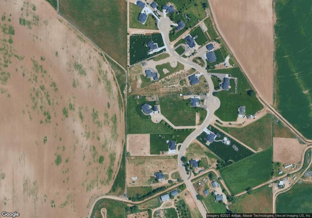
Map
Nearby Homes
- 9696 Gloria Rd
- TBD Galloway Rd
- TBD Kingsbury Rd
- 524 Birka Ct
- TBD Breezy Ln
- 11752 Old Saw Mill Ln
- 2260 Pilgrim Way
- 8991 Edna Ln
- 24750 Cemetery Rd
- 335 Bard Ave
- 175 Trailblazer St
- 24799 Sienna Glenn St
- 8769 Kemp Rd
- 8860 Kemp Rd
- 8900 Kemp Rd
- 12725 Fred Ln
- TBD Purple Sage Rd
- 9291 Tula Dr
- 0 Goodson Rd
- 11205 Dally Ln
- 26239 Pheasant Landing Rd
- 26327 Pheasant Landing Rd
- 26393 Pheasant Landing Rd
- 26393 Pheasant Landing Rd
- 26393 Pheasant Landing Rd
- 26281 Pheasant Landing Rd
- L2 B1 Pheasant Landing Rd
- L2 B2 Pheasant Landing Rd
- L4 B1 Pheasant Landing Rd
- L7B3 Pheasant Landing Rd
- 24021 Pheasant Landing St
- 26187 Pheasant Landing Rd
- 26216 Pheasant Landing Rd
- 26216 Pheasant Landing Rd
- 26479 Pheasant Landing Rd
- 26248 Pheasant Landing Rd
- 26348 Pheasant Landing Rd
- 26348 Pheasant Landing Rd Unit Pheasant Landing
- 26348 Pheasant Landing Rd
- 26486 Pheasant Landing St