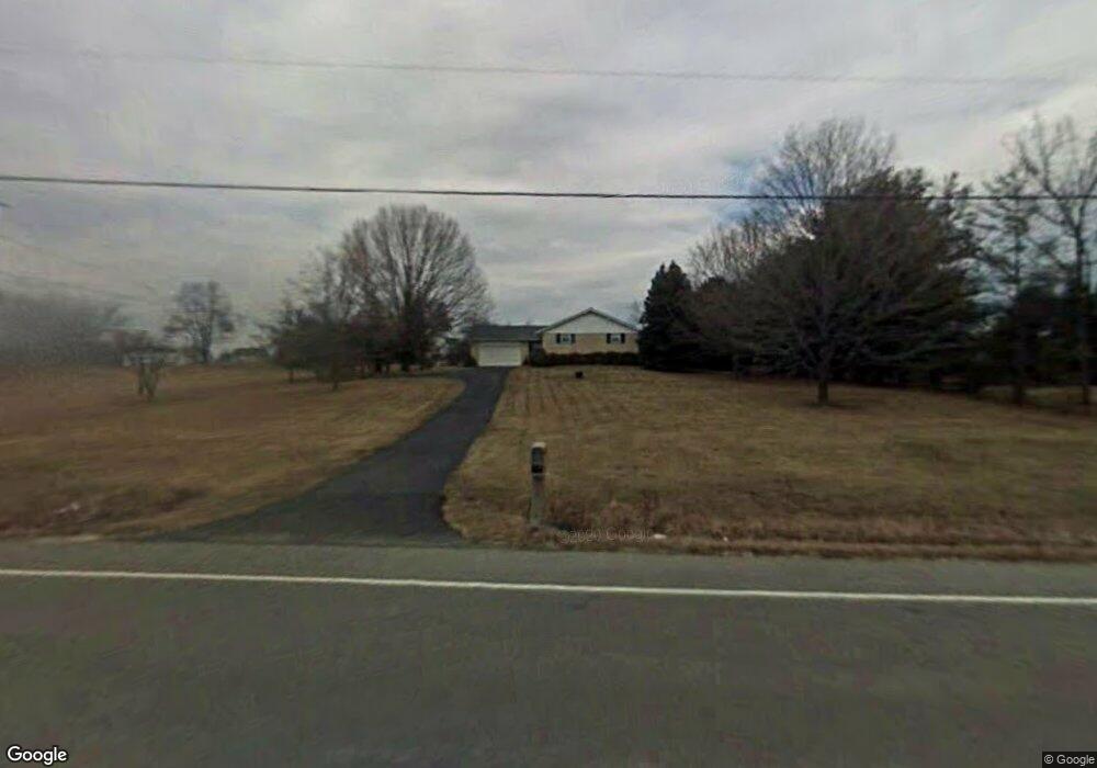
2626 E State Route 73 Waynesville, OH 45068
Clearcreek Township NeighborhoodEstimated Value: $358,652 - $468,000
3
Beds
2
Baths
1,782
Sq Ft
$236/Sq Ft
Est. Value
About This Home
This home is located at 2626 E State Route 73, Waynesville, OH 45068 and is currently estimated at $420,663, approximately $236 per square foot. 2626 E State Route 73 is a home located in Warren County with nearby schools including Clearcreek Elementary School, Springboro Intermediate School, and Springboro Junior High School.
Ownership History
Date
Name
Owned For
Owner Type
Purchase Details
Closed on
Sep 11, 2020
Sold by
Furnas Terrie J and Furnas Kevin
Bought by
Tungate Robert K and Tungate Tiffany Joy
Current Estimated Value
Home Financials for this Owner
Home Financials are based on the most recent Mortgage that was taken out on this home.
Original Mortgage
$300,000
Outstanding Balance
$265,736
Interest Rate
2.8%
Mortgage Type
VA
Estimated Equity
$154,927
Purchase Details
Closed on
Mar 3, 2020
Sold by
Campbell Helen L
Bought by
Furnas Terrie L and Furnas F
Create a Home Valuation Report for This Property
The Home Valuation Report is an in-depth analysis detailing your home's value as well as a comparison with similar homes in the area
Home Values in the Area
Average Home Value in this Area
Purchase History
| Date | Buyer | Sale Price | Title Company |
|---|---|---|---|
| Tungate Robert K | $300,000 | None Available | |
| Furnas Terrie L | -- | -- |
Source: Public Records
Mortgage History
| Date | Status | Borrower | Loan Amount |
|---|---|---|---|
| Open | Tungate Robert K | $300,000 |
Source: Public Records
Tax History Compared to Growth
Tax History
| Year | Tax Paid | Tax Assessment Tax Assessment Total Assessment is a certain percentage of the fair market value that is determined by local assessors to be the total taxable value of land and additions on the property. | Land | Improvement |
|---|---|---|---|---|
| 2024 | $3,679 | $90,030 | $24,900 | $65,130 |
| 2023 | $3,198 | $71,802 | $14,147 | $57,655 |
| 2022 | $3,126 | $71,803 | $14,147 | $57,656 |
| 2021 | $2,942 | $71,803 | $14,147 | $57,656 |
| 2020 | $2,353 | $58,377 | $11,501 | $46,876 |
| 2019 | $2,181 | $58,377 | $11,501 | $46,876 |
| 2018 | $2,171 | $58,377 | $11,501 | $46,876 |
| 2017 | $1,997 | $49,641 | $9,905 | $39,736 |
| 2016 | $2,078 | $49,641 | $9,905 | $39,736 |
| 2015 | $2,023 | $49,641 | $9,905 | $39,736 |
| 2014 | $2,023 | $46,450 | $9,310 | $37,140 |
| 2013 | $2,023 | $57,320 | $11,330 | $45,990 |
Source: Public Records
Map
Nearby Homes
- 7476 Waterway Dr
- 2814 Station House Way
- 0 Township Line Rd Unit 944079
- 7 Cumberland Ct
- 6 Cumberland Ct
- 3 Cumberland Ct
- 5 Cumberland Ct
- 4 Cumberland Ct
- 2 Cumberland Ct
- 8 Cumberland Ct
- 17 Country Lakes Blvd
- 11 Country Lakes Blvd
- 50 Dale Hollow Way
- 51 Dale Hollow Way
- 18 Dale Hollow Way
- 49 Dale Hollow Way
- 12 Country Lakes Blvd
- 39 Dale Hollow Way
- 48 Dale Hollow Way
- 40 Dale Hollow Way
- 2626 Ohio 73
- 2654 E State Route 73
- 2596 E State Route 73
- 2596 E State Route 73
- 2692 E State Route 73
- 2561 E State Route 73
- 2546 E State Route 73
- 2526 E State Route 73
- 2511 Ohio 73
- 2895 Station House Way
- 2734 E State Route 73
- 2734 E State Route 73
- 2889 Station House Way
- 2901 Station House Way
- 2907 Station House Way
- 2725 E State Route 73
- 2883 Station House Way
- 7497 Silver Lake Dr
- 7490 Silver Lake Dr
- 2913 Station House Way